
This, however, left open the question of where to locate the capital. In 1906 and after significant deliberations, New South Wales agreed to cede sufficient land on the condition that it was in the Yass-Canberra region, this site being closer to Sydney. Initially, Dalgety remained at the forefront, but Yass-Canberra prevailed after voting by federal representatives. The Seat of Government Act 1908 was passed in 1908, which repealed the 1904 Act and specified a capital in the Yass-Canberra region. Government surveyor Charles Scrivener was deployed to the region in the same year in order to map out a specific site and, after an extensive search, settled upon the present location.
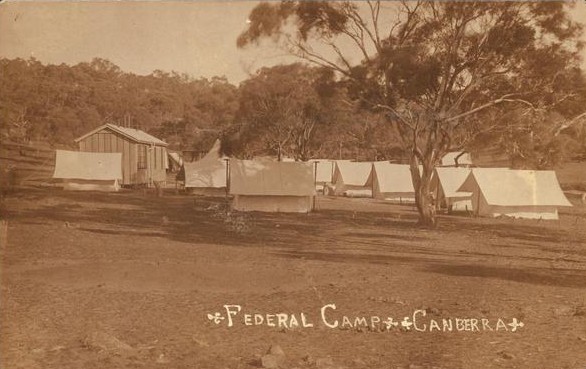
The territory was transferred to the Commonwealth by New South Wales in 1911, two years prior to the naming of Canberra as the national capital in 1913.
Development Throughout 20th Century:
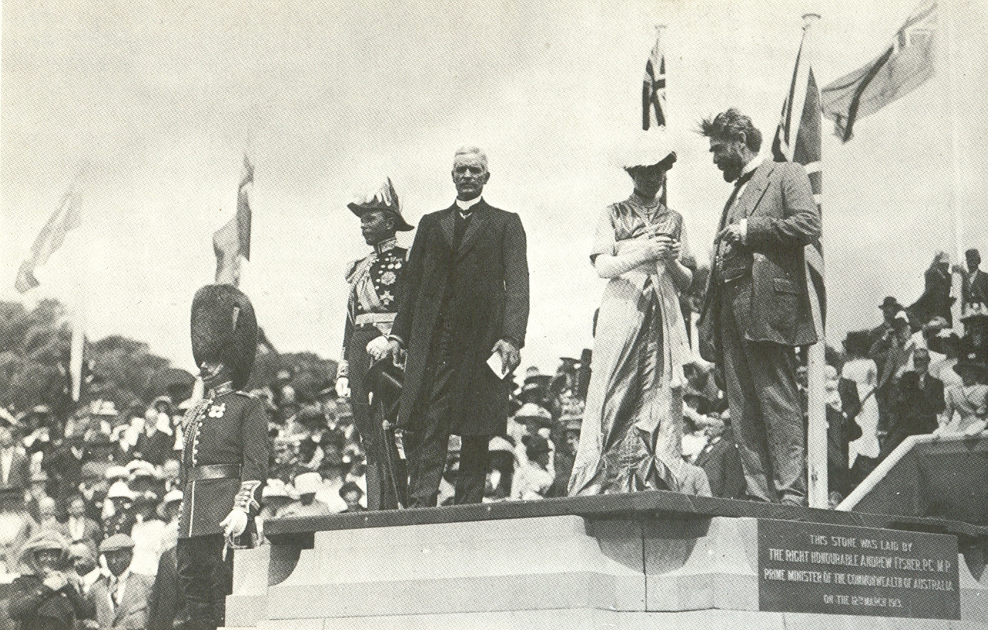
In 1911, an international competition to design the future capital was held, which was won by the Chicago architect Walter Burley Griffin in 1912. The official naming of Canberra occurred on 12 March 1913 and construction began immediately.
After Griffin’s departure following difficulty in implementing his project, the Federal Capital Advisory Committee was established in 1920 to advise the government of the construction efforts. The Committee had limited success meeting its goals. However, the chairman, John Sulman, was instrumental in applying the ideas of the garden city movement to Griffin’s plan. The Committee was replaced in 1925 by the Federal Capital Commission.
In 1930, the ACT Advisory Council was established to advise the Minister for Territories on the community’s concerns. In 1934, Supreme Court of the Australian Capital Territory was established.
From 1938 to 1957, the National Capital Planning and Development Committee continued to plan the further expansion of Canberra. However, the National Capital Planning and Development Committee did not have executive power, and decisions were made on the development of Canberra without the Committee’s consultation. During this time, Prime Minister Robert Menzies regarded the state of the national capital as an embarrassment.
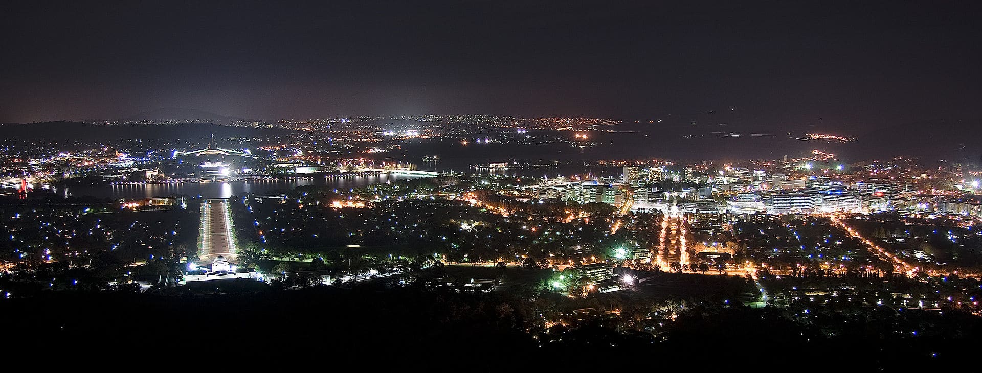
After World War II, there was a shortage of housing and office space in Canberra. A Senate Select Committee hearing was held in 1954 to address its development requirements. This Committee recommended the creation of a single planning body with executive power. Consequently, the National Capital Planning and Development Committee was replaced by the National Capital Development Commission in 1957. The National Capital Development Commission ended four decades of disputes over the shape and design of Lake Burley Griffin and construction was completed in 1964 after four years of work. The completion of the centerpiece of Griffin’s design finally the laid the platform for the development of Griffin’s Parliamentary Triangle.
Geography:
The Australian Capital Territory is the smallest mainland territory (aside from the Jervis Bay Territory) and covers a total land area of 560,000 acres.
It is bounded by the Goulburn-Cooma railway line in the east, the watershed of Naas Creek in the south, the watershed of the Cotter River in the west and the watershed of the Molonglo River in the north-east. These boundaries were set to give the ACT an adequate water supply. The ACT extends about 55.0 miles North-South between 35-36S and 35.7 miles West-East at around 149.6E, although the city area of Canberra occupies the north-central part of this area.