Belgium has three main geographical regions; the coastal plain in the northwest and the central plateau both belong to the Anglo-Belgian Basin, and the Ardennes uplands in the southeast to the Hercynian orogenic belt. The Paris Basin reaches a small fourth area at Belgium’s southernmost tip, Belgian Lorraine.
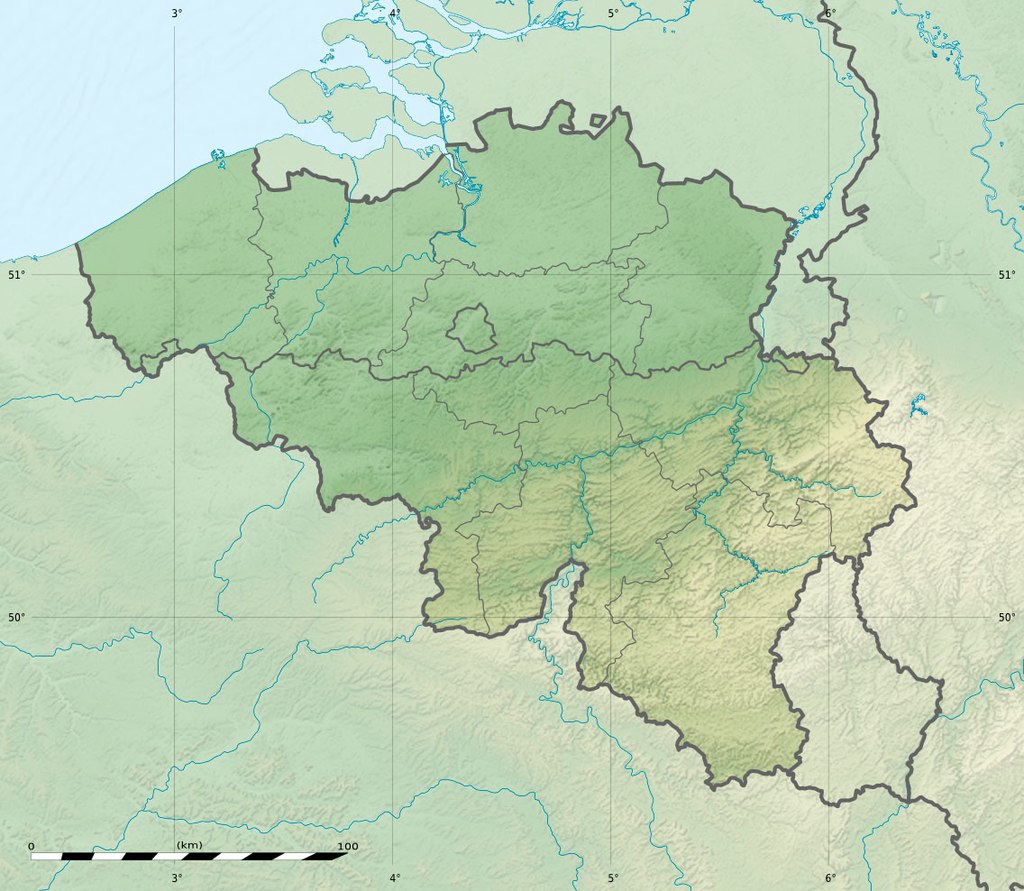
The coastal plain consists mainly of sand dunes and polders. Further inland lies a smooth, slowly rising landscape irrigated by numerous waterways, with fertile valleys and the northeastern sandy plain of the Campine (Kempen). The thickly forested hills and plateaux of the Ardennes are more rugged and rocky with caves and small gorges. Extending westward into France, this area is eastwardly connected to the Eifel in Germany by the High Fens plateau, on which the Signal de Botrange forms the country’s highest point at 2,277 feet.
Economy:
Belgium’s strongly globalized economy and its transport infrastructure are integrated with the rest of Europe. Its location at the heart of a highly industrialized region helped make it the world’s 15th largest trading nation in 2007. The economy is characterized by a highly productive work force, high GNP and high exports per capita. Belgium’s main imports are raw materials, machinery and equipment, chemicals, raw diamonds, pharmaceuticals, foodstuffs, transportation equipment, and oil products. Its main exports are machinery and equipment, chemicals, finished diamonds, metals and metal products, and foodstuffs.
The Belgian economy is heavily service-oriented and shows a dual nature: a dynamic Flemish economy and a Walloon economy that lags behind. One of the founding members of the European Union, Belgium strongly supports an open economy and the extension of the powers of EU institutions to integrate member economies. Since 1922, through the Belgium-Luxembourg Economic Union, Belgium and Luxembourg have been a single trade market with customs and currency union.
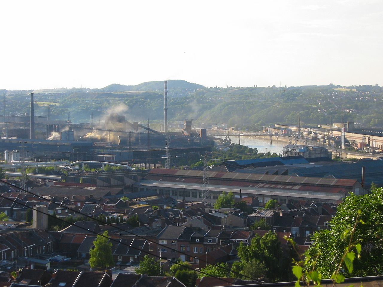
Belgium was the first continental European country to undergo the Industrial Revolution, in the early 19th century. Liège and Charleroi rapidly developed mining and steelmaking, which flourished until the mid-20th century in the Sambre and Meuse valley and made Belgium among one of the three most industrialized nations in the world from 1830 to 1910. However, by the 1840s the textile industry of Flanders was in severe crisis, and the region experienced famine from 1846 to 1850.
After World War II, Ghent and Antwerp experienced a rapid expansion of the chemical and petroleum industries. The 1973 and 1979 oil crises sent the economy into a recession; it was particularly prolonged in Wallonia, where the steel industry had become less competitive and experienced serious decline. In the 1980s and 1990s, the economic centre of the country continued to shift northwards and is now concentrated in the populous Flemish Diamond area.
Transportation:
Transport in Belgium is facilitated with well-developed road, air, rail and water networks.
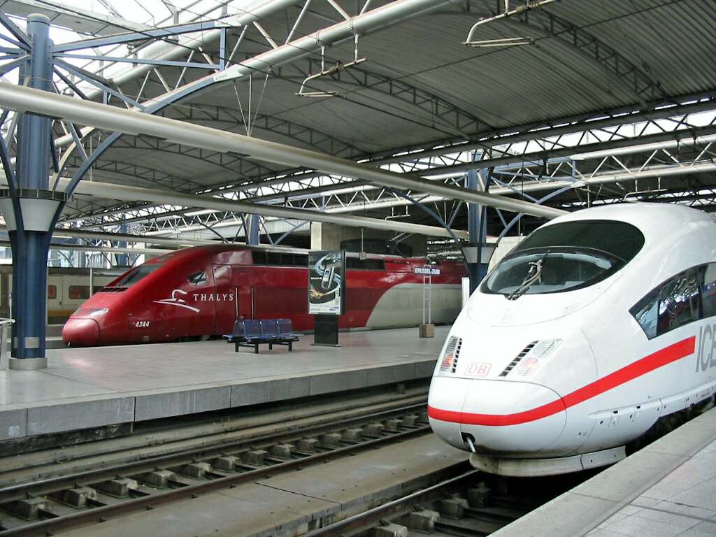
The rail network has 1,830 miles of electrified tracks. The network currently includes four high speed lines. There are active rail links with all neighboring countries.