
Colombia’s relations with Venezuela have fluctuated due to ideological differences between both governments. Colombia has offered humanitarian support with food and medicines to mitigate the shortage of supplies in Venezuela. Colombia’s Foreign Ministry said that all efforts to resolve Venezuela’s crisis should be peaceful. Colombia proposed the idea of the Sustainable Development Goals and a final document was adopted by the United Nations.
Geography:
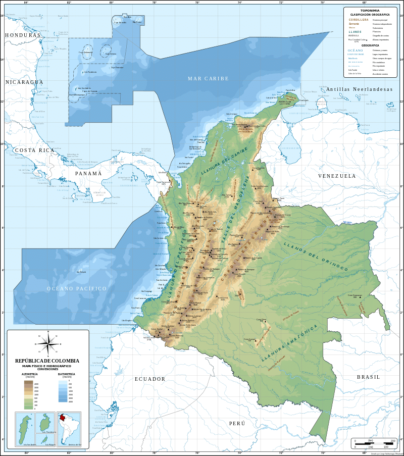
The geography of Colombia is characterized by its six main natural regions that present their own unique characteristics, from the Andes mountain range region shared with Ecuador and Venezuela; the Pacific coastal region shared with Panama and Ecuador; the Caribbean coastal region shared with Venezuela and Panama; the Llanos (plains) shared with Venezuela; the Amazon Rainforest region shared with Venezuela, Brazil, Peru and Ecuador; to the insular area, comprising islands in both the Atlantic and Pacific oceans. It shares its maritime limits with Costa Rica, Nicaragua, Honduras, Jamaica, Haiti, and the Dominican Republic.
Colombia is bordered to the northwest by Panama, to the east by Venezuela and Brazil, and to the south by Ecuador and Peru; it established its maritime boundaries with neighboring countries through seven agreements on the Caribbean Sea and three on the Pacific Ocean.
Part of the Ring of Fire, a region of the world subject to earthquakes and volcanic eruptions, in the interior of Colombia the Andes are the prevailing geographical feature. Most of Colombia’s population centers are located in these interior highlands. Beyond the Colombian Massif (in the southwestern departments of Cauca and Nariño), these are divided into three branches known as cordilleras (mountain ranges): the Cordillera Occidental, running adjacent to the Pacific coast and including the city of Cali; the Cordillera Central, running between the Cauca and Magdalena River valleys (to the west and east, respectively) and including the cities of Medellín, Manizales, Pereira, and Armenia; and the Cordillera Oriental, extending northeast to the Guajira Peninsula and including Bogotá, Bucaramanga, and Cúcuta.
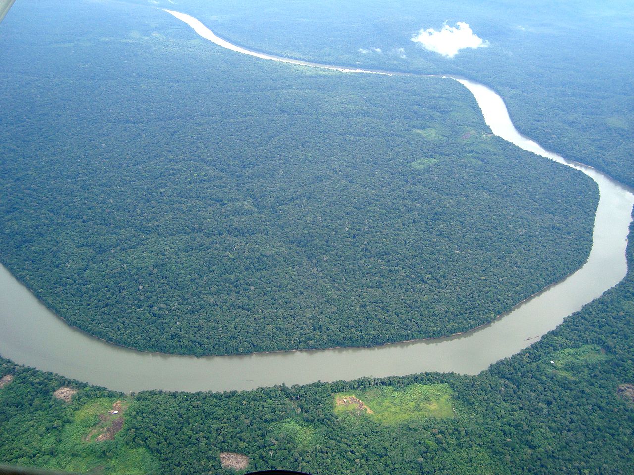
East of the Andes lies the savanna of the Llanos, part of the Orinoco River basin, and in the far southeast, the jungle of the Amazon rainforest. Together these lowlands comprise over half Colombia’s territory, but they contain less than 6% of the population. To the north the Caribbean coast, home to 21.9% of the population and the location of the major port cities of Barranquilla and Cartagena, generally consists of low-lying plains, but it also contains the Sierra Nevada de Santa Marta mountain range, which includes the country’s tallest peaks (Pico Cristóbal Colón and Pico Simón Bolívar), and the La Guajira Desert. By contrast the narrow and discontinuous Pacific coastal lowlands, backed by the Serranía de Baudó mountains, are sparsely populated and covered in dense vegetation. The principal Pacific port is Buenaventura.
The main rivers of Colombia are Magdalena, Cauca, Guaviare, Atrato, Meta, Putumayo and Caquetá. Colombia has four main drainage systems: the Pacific drain, the Caribbean drain, the Orinoco Basin and the Amazon Basin. The Orinoco and Amazon Rivers mark limits with Colombia to Venezuela and Peru respectively.