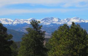
The “Front Range” includes Denver, Boulder, Fort Collins, Loveland, Colorado Springs, Pueblo, Greeley, and other townships and municipalities in between. On the other side of the Rockies, the significant population centers in Western Colorado are the cities of Grand Junction, Durango, and Montrose.
Continental Divide:
The Continental Divide of the Americas extends along the crest of the Rocky Mountains.
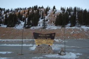
The area of Colorado to the west of the Continental Divide is called the Western Slope of Colorado. West of the Continental Divide, water flows to the southwest via the Colorado River and the Green River into the Gulf of California.
Southern Region:
In southernmost Colorado is the large San Luis Valley, where the headwaters of the Rio Grande are located. The valley sits between the Sangre De Cristo Mountains and San Juan Mountains, and consists of large desert lands that eventually run into the mountains.
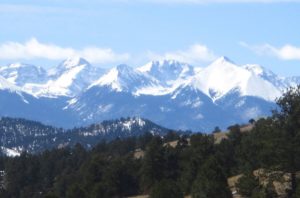
The Rio Grande drains due south into New Mexico, Mexico, and Texas. Across the Sangre de Cristo Range to the east of the San Luis Valley lies the Wet Mountain Valley. These basins, particularly the San Luis Valley, lie along the Rio Grande Rift, a major geological formation of the Rocky Mountains, and its branches.
Peaks:
To the west of the Great Plains of Colorado rises the eastern slope of the Rocky Mountains. Notable peaks of the Rocky Mountains include Longs Peak, Mount Evans, Pikes Peak, and the Spanish Peaks near Walsenburg, in southern Colorado. This area drains to the east and the southeast, ultimately either via the Mississippi River or the Rio Grande into the Gulf of Mexico.
The Rocky Mountains within Colorado contain 53 peaks that are 14,000 feet or higher in elevation above sea level, known as fourteeners. These mountains are largely covered with trees such as conifers and aspens up to the tree line, at an elevation of about 12,000 feet in southern Colorado to about 10,500 feet in northern Colorado. Above this only alpine vegetation grows. Only small parts of the Colorado Rockies are snow-covered year round.
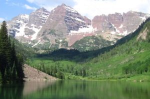
Much of the alpine snow melts by mid-August with the exception of a few snowcapped peaks and a few small glaciers. The Colorado Mineral Belt, stretching from the San Juan Mountains in the southwest to Boulder and Central City on the front range, contains most of the historic gold- and silver-mining districts of Colorado. Mount Elbert is the highest summit of the Rocky Mountains. The 30 highest major summits of the Rocky Mountains of North America all lie within the state.
Colorado Western Slope:
The Western Slope area of Colorado includes the western face of the Rocky Mountains and all of the state to the western border. This area includes several terrains and climates from alpine mountains to arid deserts. The Western Slope includes many ski resort towns in the Rocky Mountains and towns west of the mountains. It is less populous than the Front Range but includes a large number of national parks and monuments.
