
In late November and early December 2006, Bainimarama was instrumental in the 2006 Fijian coup d’état. Bainimarama handed down a list of demands to Qarase after a bill was put forward to parliament, part of which would have offered pardons to participants in the 2000 coup attempt. He gave Qarase an ultimatum date of 4 December to accede to these demands or to resign from his post. Qarase adamantly refused either to concede or resign, and on 5 December the president, Ratu Josefa Iloilo, was said to have signed a legal order dissolving the parliament after meeting with Bainimarama.
In April 2009, the Fiji Court of Appeal ruled that the 2006 coup had been illegal. This began the 2009 Fijian constitutional crisis. President Iloilo abrogated the constitution, removed all office holders under the constitution including all judges and the governor of the Central Bank. He then reappointed Bainimarama under his “New Order” as interim Prime Minister and imposed a “Public Emergency Regulation” limiting internal travel and allowing press censorship.
Geography:
Fiji covers a total area of some 194,000 square kilometres (75,000 sq mi) of which around 10% is land.
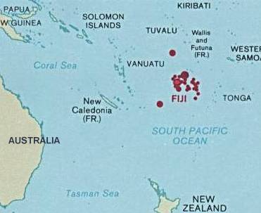
Fiji is the hub of the South West Pacific, midway between Vanuatu and Tonga. The archipelago is roughly 498,000 square miles and less than 2 percent is dry land.The 180° meridian runs through Taveuni but the International Date Line is bent to give uniform time (UTC+12) to all of the Fiji group. Fiji lies approximately 5,100 km southwest of Hawaii and roughly 3,150 km from Sydney, Australia.
Fiji consists of 332 islands (of which 106 are inhabited) and 522 smaller islets. The two most important islands are Viti Levu and Vanua Levu, which account for about three-quarters of the total land area of the country. The islands are mountainous, with peaks up to 1,324 metres (4,341 ft), and covered with thick tropical forests.
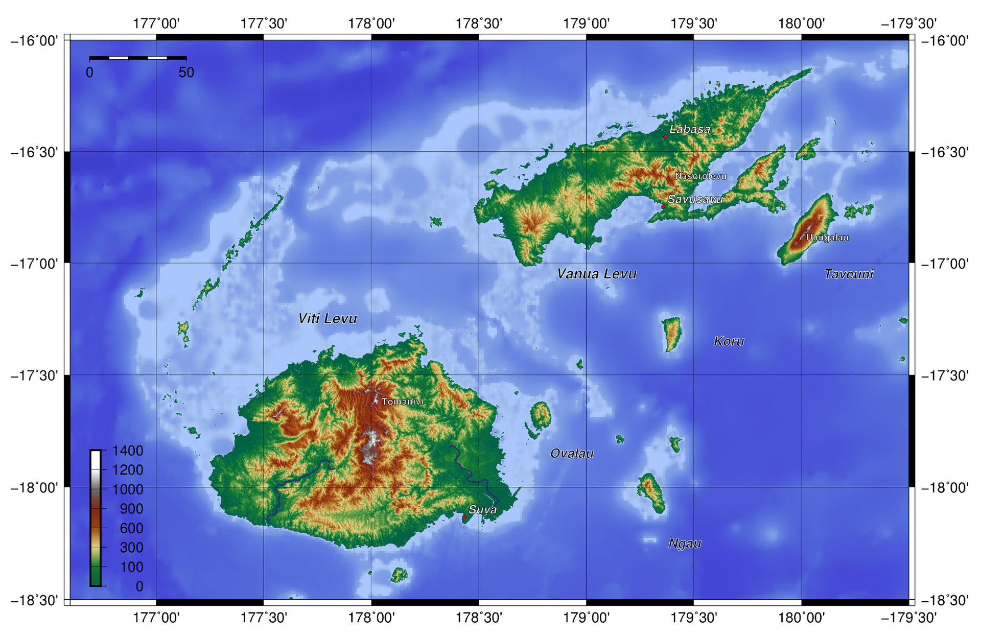
The highest point is Mount Tomanivi on Viti Levu. Viti Levu hosts the capital city of Suva, and is home to nearly three-quarters of the population. Other important towns include Nadi (the location of the international airport), and Lautoka, Fiji’s second city with large sugar cane mills and a seaport.
The main towns on Vanua Levu are Labasa and Savusavu. Other islands and island groups include Taveuni and Kadavu (the third and fourth largest islands, respectively), the Mamanuca Group (just off Nadi) and Yasawa Group, which are popular tourist destinations, the Lomaiviti Group, off Suva, and the remote Lau Group. Rotuma, some 270 nautical miles (500 km; 310 mi) north of the archipelago, has a special administrative status in Fiji. Ceva-i-Ra, an uninhabited reef, is located about 250 nautical miles (460 km; 290 mi) southwest of the main archipelago.
Economy:
Endowed with forest, mineral, and fish resources, Fiji is one of the most developed of the Pacific island economies, though still with a large subsistence sector. Natural resources include timber, fish, gold, copper, offshore oil, and hydropower. Fiji experienced a period of rapid growth in the 1960s and 1970s but stagnated in the 1980s. The coup of 1987 caused further contraction.