
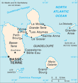
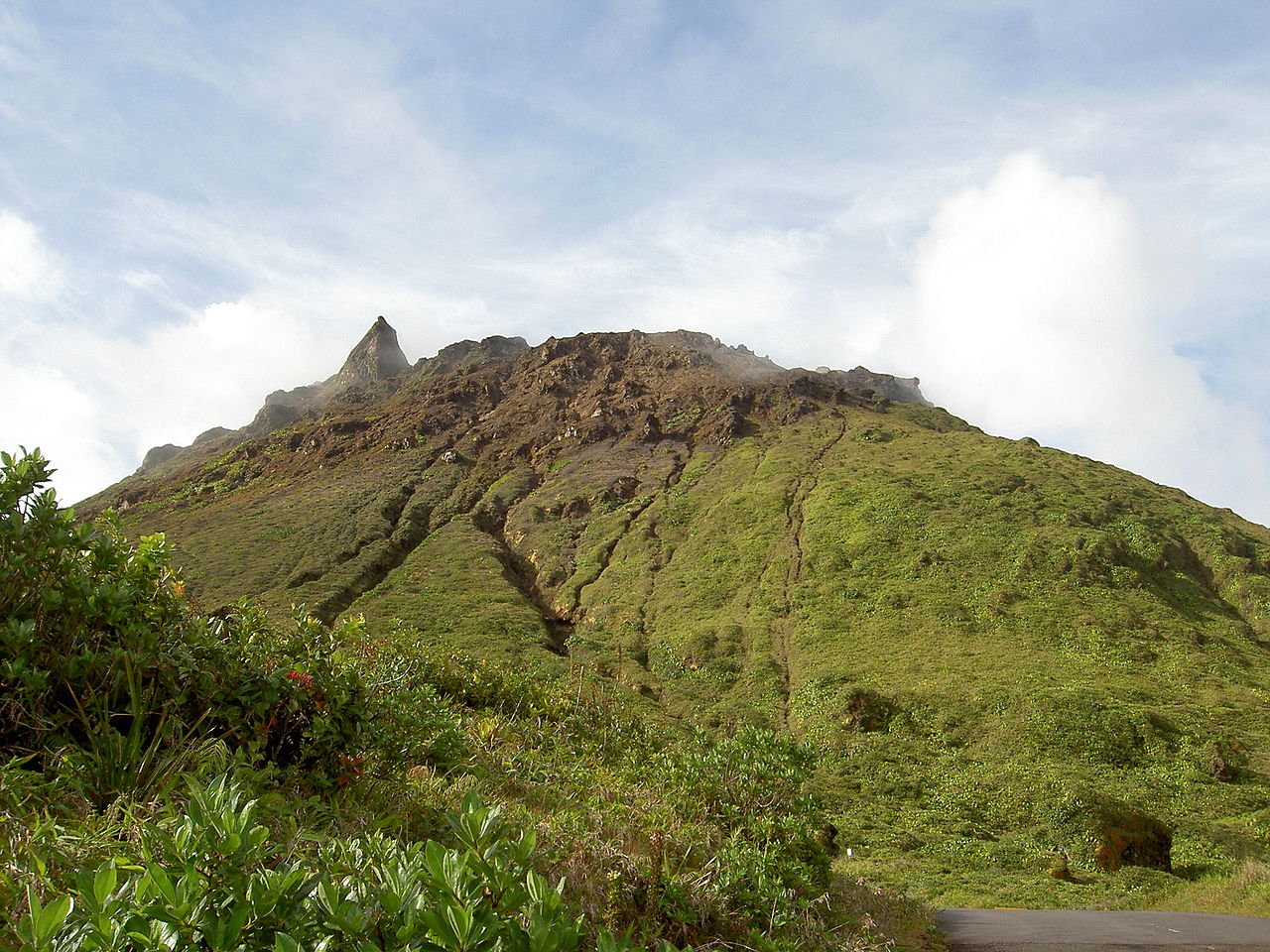
The main two islands are Basse-Terre (west) and Grande-Terre (east), which form a butterfly shape as viewed from above, the two ‘wings’ of which are separated by the Grand Cul-de-Sac Marin, Rivière Salée and Petit Cul-de-Sac Marin. More than half of Guadeloupe’s land surface consists of the 847.8 km2 Basse-Terre. The island is mountainous, containing such peaks as Mount Sans Toucher (4,442 feet; 1,354 metres) and Grande Découverte (4,143 feet; 1,263 metres), culminating in the active volcano La Grande Soufrière, the highest mountain peak in the Lesser Antilles with an elevation of 1,467 metres (4,813 ft).
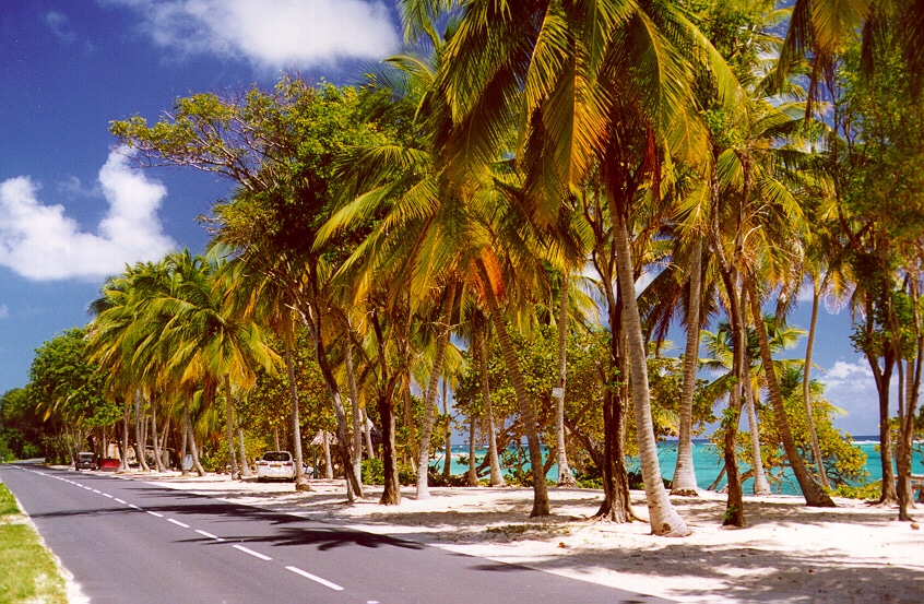
In contrast Grande-Terre is mostly flat, with rocky coasts to the north, irregular hills at the centre, mangrove at the southwest, and white sand beaches sheltered by coral reefs along the southern shore. This is where the main tourist resorts are found.
Marie-Galante is the third-largest island, followed by La Désirade, a north-east slanted limestone plateau, the highest point of which is 275 metres (902 ft). To the south lies the Îles de Petite-Terre, which are two islands (Terre de Haut and Terre de Bas) totalling 2 km2.
Les Saintes is an archipelago of eight islands of which two, Terre-de-Bas and Terre-de-Haut are inhabited. The landscape is similar to that of Basse-Terre, with volcanic hills and irregular shoreline with deep bays.
There are numerous other smaller islands, most notably Tête à l’Anglais, Îlet à Kahouanne, Îlet à Fajou, Îlet Macou, Îlet aux Foux, Îlets de Carénage, La Biche, Îlet Crabière, Îlets à Goyaves, Îlet à Cochons, Îlet à Boissard, Îlet à Chasse and Îlet du Gosier.
Economy:
The economy of Guadeloupe depends on tourism, agriculture, light industry and services. It is reliant upon mainland France for large subsidies and imports and public administration is the largest single employer on the islands. Unemployment is especially high among the youth population.
Tourism is the one of the most prominent sources of income, with most visitors coming from France and North America. An increasingly large number of cruise ships visit Guadeloupe, the cruise terminal of which is in Pointe-à-Pitre.
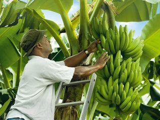
The traditional sugar cane crop is slowly being replaced by other crops, such as bananas (which now supply about 50% of export earnings), eggplant, guinnep, noni, sapotilla, giraumon squash, yam, gourd, plantain, christophine, cocoa, jackfruit, pomegranate, and many varieties of flowers. Other vegetables and root crops are cultivated for local consumption, although Guadeloupe is dependent upon imported food, mainly from the rest of France.
Of the various light industries, sugar and rum production, solar energy, cement, furniture and clothing are the most prominent. Most manufactured goods and fuel are imported.
Transportation:
Guadeloupe is served by a number of airports; most international flights use Pointe-à-Pitre International Airport. Boats and cruise ships frequent the islands, using the ports at Pointe-à-Pitre and Basse-Terre.
On 9 September 2013 the county government voted in favour of constructing a tramway in Pointe-à-Pitre. The first phase will link northern Abymes to downtown Pointe-à-Pitre by 2019. The second phase, scheduled for completion in 2023, will extend the line to serve the university.
Flag of Guadeloupe:
Guadeloupe has no flag with official status other than the French national flag.