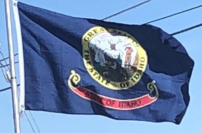
An alternative etymology attributes the name to the Plains Apache word “ídaahę́” (enemy) that was used in reference to the Comanche.
Geography:
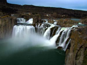
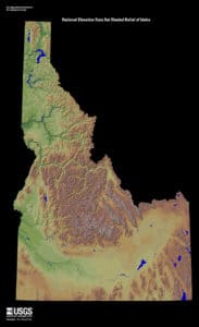
The landscape is rugged with some of the largest unspoiled natural areas in the United States. For example, at 2.3 million acres, the Frank Church-River of No Return Wilderness Area is the largest contiguous area of protected wilderness in the continental United States. Idaho is a Rocky Mountain state with abundant natural resources and scenic areas. The state has snow-capped mountain ranges, rapids, vast lakes and steep canyons. The waters of the Snake River rush through Hells Canyon, the deepest gorge in the United States. Shoshone Falls plunges down rugged cliffs from a height greater than Niagara Falls.

The major rivers in Idaho are the Snake River, the Clark Fork/Pend Oreille River, the Clearwater River, and the Salmon River. Other significant rivers include the Coeur d’Alene River, the Spokane River, the Boise River, and the Payette River. The Salmon River empties into the Snake in Hells Canyon and forms the southern boundary of Nez Perce County on its north shore, of which Lewiston is the county seat.
Idaho’s highest point is Borah Peak, 12,662 feet, in the Lost River Range north of Mackay. Idaho’s lowest point, 710 feet, is in Lewiston, where the Clearwater River joins the Snake River and continues into Washington. The Sawtooth Range is often considered Idaho’s most famous mountain range. Other mountain ranges in Idaho include the Bitterroot Range, the White Cloud Mountains, the Lost River Range, the Clearwater Mountains, and the Salmon River Mountains.

Idaho has two time zones, with the dividing line approximately midway between Canada and Nevada. Southern Idaho, including the Boise metropolitan area, Idaho Falls, Pocatello, and Twin Falls, are in the Mountain Time Zone. A legislative error (15 U.S.C. ch. 6 §264) theoretically placed this region in the Central Time Zone, but this was corrected with a 2007 amendment. Areas north of the Salmon River, including Coeur d’Alene, Moscow, Lewiston, and Sandpoint, are in the Pacific Time Zone, which contains less than a quarter of the state’s population and land area.
History:
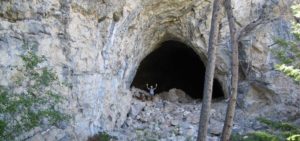
Humans may have been present in the Idaho area as long as 14,500 years ago. Excavations at Wilson Butte Cave near Twin Falls in 1959 revealed evidence of human activity, including arrowheads, that rank among the oldest dated artifacts in North America. American Indian peoples predominant in the area included the Nez Percé in the north and the Northern and Western Shoshone in the south.

An early presence of French-Canadian trappers is visible in names and toponyms: Nez Percé, Cœur d’Alène, Boisé, Payette, some preexisting the Lewis and Clark and Astorian expeditions which themselves included significant numbers of French and Métis guides recruited for their familiarity with the terrain.
Idaho, as part of the Oregon Country, was claimed by both the United States and Great Britain until the United States gained undisputed jurisdiction in 1846. From 1843 to 1849, present-day Idaho was under the de facto jurisdiction of the Provisional Government of Oregon. When Oregon became a state, what is now Idaho was in what remained of the original Oregon Territory not part of the new state, and designated as the Washington Territory.
