Introduction:
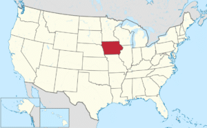
Iowa is a U.S. state in the Midwestern United States, bordered by the Mississippi River to the east and the Missouri and Big Sioux rivers to the west. Iowa is bordered by six states; Wisconsin to the northeast, Illinois to the east, Missouri to the south, Nebraska to the west, South Dakota to the northwest, and Minnesota to the north.
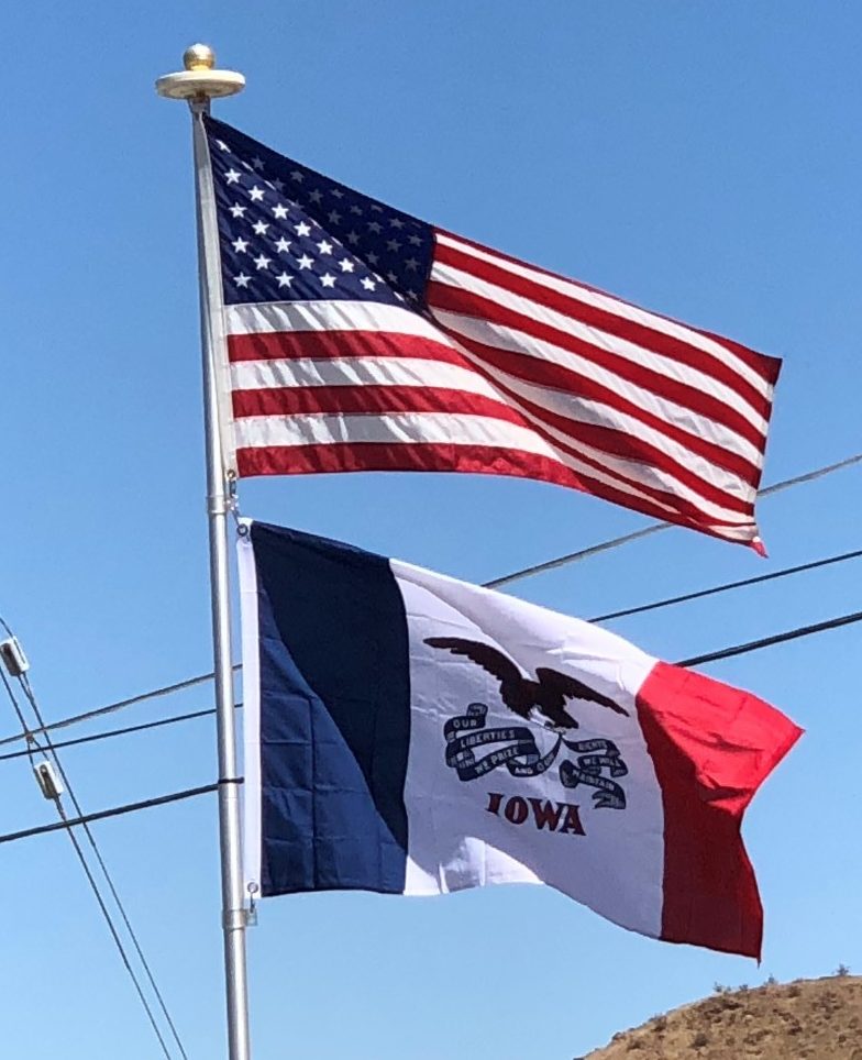
In colonial times, Iowa was a part of French Louisiana and Spanish Louisiana; its state flag is patterned after the flag of France. After the Louisiana Purchase, people laid the foundation for an agriculture-based economy in the heart of the Corn Belt.
In the latter half of the 20th century, Iowa’s agricultural economy made the transition to a diversified economy of advanced manufacturing, processing, financial services, information technology, biotechnology, and green energy production. Iowa’s capital and largest city by population is Des Moines.

Iowa has been listed as one of the safest states in which to live.
Origin of the Name:
Iowa derives its name from the Ioway people, one of the many Native American tribes that occupied the state at the time of European exploration.
Geography:
Iowa is bordered by the Mississippi River on the east; the Missouri River and the Big Sioux River on the west; the northern boundary is a line along 43 degrees, 30 minutes north latitude. The southern border is the Des Moines River and a not-quite-straight line along approximately 40 degrees 35 minutes north, as decided by the U.S. Supreme Court in Missouri v. Iowa (1849) after a standoff between Missouri and Iowa known as the Honey War.
Iowa is the only state whose east and west borders are formed entirely by rivers.
Iowa is generally not flat; most of the state consists of rolling hills. Iowa can be divided into eight landforms based on glaciation, soils, topography, and river drainage. Loess hills lie along the western border of the state, some of which are several hundred feet thick.
Northeast Iowa along the Mississippi River is part of the Driftless Zone, consisting of steep hills and valleys which appear almost mountainous.
Iowa’s natural vegetation is tallgrass prairie and savanna in upland areas, with dense forest and wetlands in flood plains and protected river valleys, and pothole wetlands in northern prairie areas. Most of Iowa is used for agriculture; crops cover 60% of the state, grasslands (mostly pasture and hay with some prairie and wetland) cover 30%, and forests cover 7%; urban areas and water cover another 1% each.
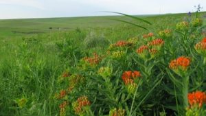
There is a dearth of natural areas in Iowa; less than 1% of the tallgrass prairie that once covered most of Iowa remains intact; only about 5% of the state’s prairie pothole wetlands remain, and most of the original forest has been lost.
The explosion in the number of high-density livestock facilities in Iowa has led to increased rural water contamination and a decline in air quality. Other factors negatively affecting Iowa’s environment include the extensive use of older coal-fired power plants, fertilizer and pesticide runoff from crop production, and diminishment of the Jordan Aquifer.
History:
Prehistory:
When American Indians first arrived in what is now Iowa more than 13,000 years ago, they were hunters and gatherers living in a Pleistocene glacial landscape. By the time European explorers and traders visited Iowa, American Indians were largely settled farmers with complex economic, social, and political systems. This transformation happened gradually. During the Archaic period (10,500–2,800 years ago), American Indians adapted to local environments and ecosystems, slowly becoming more sedentary as populations increased.
