Introduction:
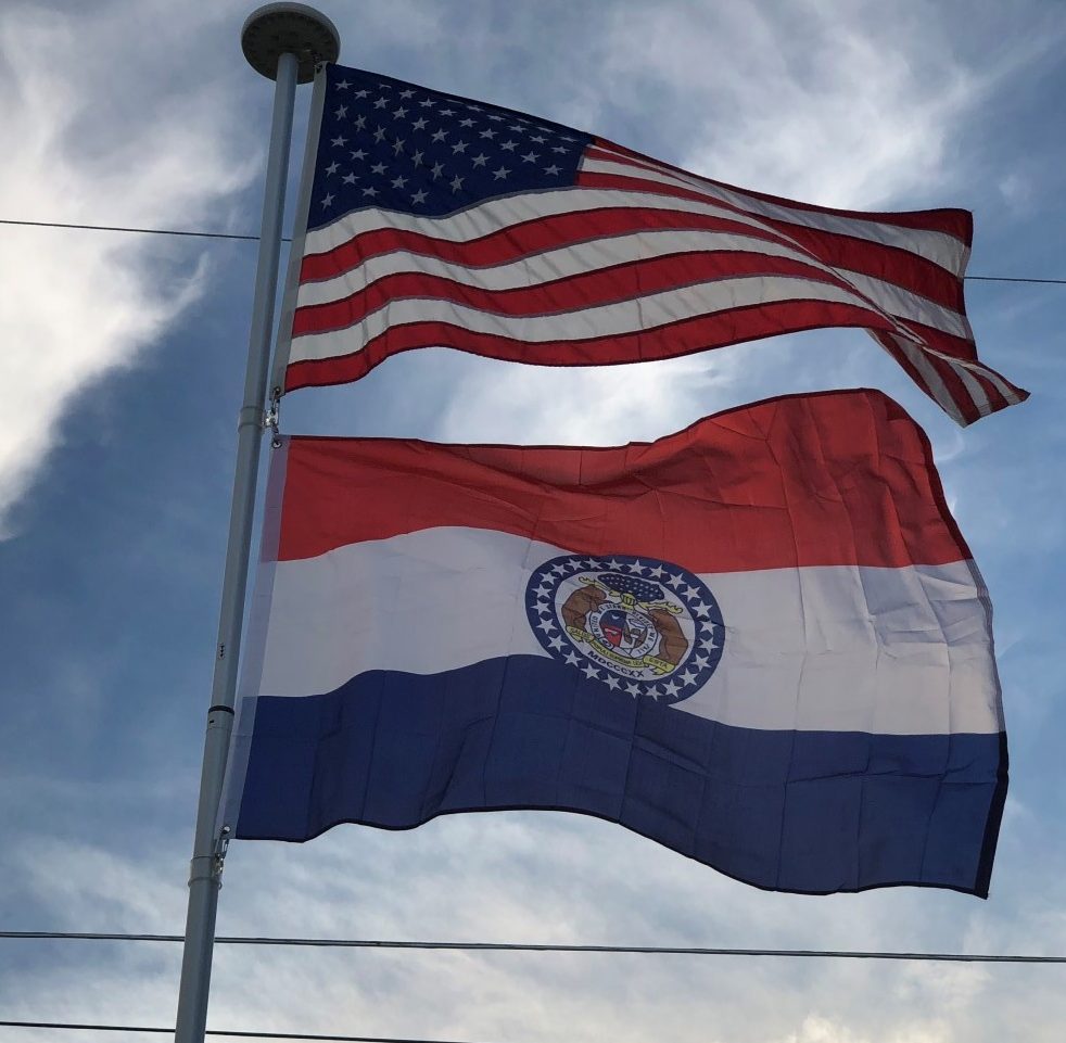
Missouri is a state in the Midwestern United States. With over six million residents, it is the 18th-most populous state of the Union. The largest urban areas are Kansas City, St. Louis, Springfield, and Columbia; the capital is Jefferson City, near the center of the state on the Missouri River. The state is the 21st-most extensive in area. In the South are the Ozarks, a forested highland, providing timber, minerals, and recreation. The Mississippi River forms the eastern border of the state.
Origin of the State Name:
The state is named for the Missouri River, which was named after the indigenous Missouri Indians, a Siouan-language tribe. There are several competing theories about the exact wording and the exact translation, but the most likely theory is that the name Missouri comes from the Chiwere language, a fairly unique Siouan dialect spoken by people who resided in the modern day states of Wisconsin, Iowa, South Dakota, Missouri & Nebraska.
Geography:
Missouri is landlocked and borders eight different states. No state in the U.S. touches more than eight. Missouri is bounded by Iowa on the north; by Illinois, Kentucky, and Tennessee across the Mississippi River on the east; on the south by Arkansas; and by Oklahoma, Kansas, and Nebraska (the last across the Missouri River) on the west. Whereas the northern and southern boundaries are straight lines, the Missouri Bootheel protrudes southerly into Arkansas.
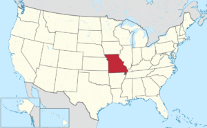
The two largest rivers are the Mississippi, which defines the eastern boundary of the state, and the Missouri River, which flows from west to east through the state, essentially connecting the two largest metros of Kansas City and St. Louis.
When Missouri was admitted to the Union, its original border was proposed as an extension of the 36°30′ parallel north that formed the border between Kentucky and Tennessee. This would have excluded the Bootheel. John Hardeman Walker, a pioneer planter in what is now Pemiscot County, argued that the area had more in common with the Mississippi River towns of Cape Girardeau, Ste. Genevieve and St. Louis in Missouri than with its proposed incorporation in the Arkansas Territory. The border was dropped about 50 miles to the 36th parallel north. It follows that parallel about 30 miles until intersecting the St. Francis River, then follows the river back up to about the 36°30′ parallel just west of Campbell, Missouri.
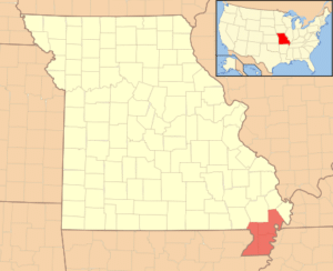
According to an apocryphal story in various versions, the Bootheel was added to the state because of the request of some Missourian to remain in the state “as he had heard it was so sickly in Arkansas”; “…full of bears and panthers and copperhead snakes, so it ain’t safe for civilized people to stay there overnight even.” Another legend has the adaptation made by a love-struck surveyor to spare the feelings of a widow living 50 miles south of the Missouri border, but unaware of it.
