
Introduction:
The Northwest Territories is a federal territory of Canada. At a land area of approximately 1,144,000 square kilometers and a 2016 census population of 41,786, it is the second-largest and the most populous of the three territories in Northern Canada. Its estimated population as of 2018 is 44,445. Yellowknife became the territorial capital in 1967, following recommendations by the Carrothers Commission.
The Northwest Territories, a portion of the old North-Western Territory, entered the Canadian Confederation on July 15, 1870, but the territory was subdivided several times to create new provinces or territories or enlarge existing ones. Its current borders date from April 1, 1999, when the territory was subdivided to create Nunavut to the east, via the Nunavut Act and the Nunavut Land Claims Agreement. While Nunavut is mostly Arctic tundra, the Northwest Territories has a slightly warmer climate and is both boreal forest (taiga), and tundra, and its most northern regions form part of the Canadian Arctic Archipelago.
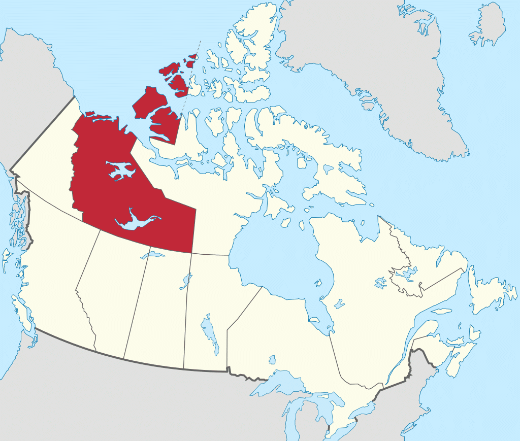
The Northwest Territories is bordered by Canada’s two other territories, Nunavut to the east and Yukon to the west, and by the provinces of British Columbia, Alberta, and Saskatchewan to the south, and may touch Manitoba at a quadripoint to the southeast.
Etymology:
The name is descriptive, adopted by the British government during the colonial era to indicate where it lay in relation to Rupert’s Land. It is shortened from North-Western Territory. In Inuktitut, the Northwest Territories are referred to as Nunatsiaq, “beautiful land.” The northernmost region of the territory is home to Inuvialuit, part of Inuit Nunangat called Nunangit, while the southern portion is called Denendeh (an Athabaskan language word meaning “our land”). Denendeh is the vast Dene country, stretching from central Alaska to Hudson Bay, within which lay the homelands of the numerous Dene nations.

There was some discussion of changing the name of the Northwest Territories after the splitting off of Nunavut, possibly to a term from an Indigenous language. One proposal was “Denendeh,” as advocated by the former premier Stephen Kakfwi, among others. One of the most popular proposals for a new name – one to name the territory “Bob” – began as a prank, but for a while it was at or near the top in the public-opinion polls.
In the end, a poll conducted prior to division showed that strong support remained to keep the name “Northwest Territories”. This name arguably became more appropriate following division than it had been when the territories extended far into Canada’s north-central and northeastern areas.
Geography:
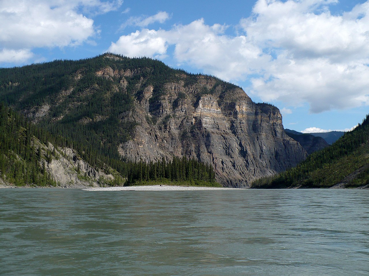
Geographical features include Great Bear Lake, the largest lake entirely within Canada, and Great Slave Lake, the deepest body of water in North America at 614 m, as well as the Mackenzie River and the canyons of the Nahanni National Park Reserve, a national park and UNESCO World Heritage Site.
Territorial islands in the Canadian Arctic Archipelago include Banks Island, Borden Island, Prince Patrick Island, and parts of Victoria Island and Melville Island. Its highest point is Mount Nirvana near the border with Yukon at an elevation of 2,773 meters.
History:
Prior to the arrival of Europeans, a number of First Nations and Inuit nations occupied the area which became the Northwest Territories. Inuit nations include the Caribou, Central, and Copper nations. First Nations groups include the Beaver, Chipewyan, Dogrib, Nahanni, Sekani, Slavey, and Yellowknives.