
Introduction:
Nunavut is the newest, largest, and most northerly territory of Canada. It was separated officially from the Northwest Territories on April 1, 1999, via the Nunavut Act and the Nunavut Land Claims Agreement Act, though the boundaries had been drawn in 1993. The creation of Nunavut resulted in the first major change to Canada’s political map since incorporating the province of Newfoundland in 1949.
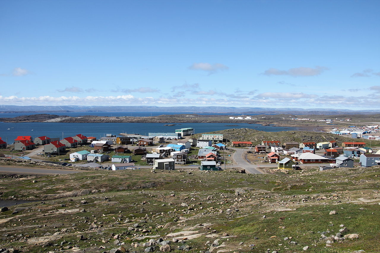
Nunavut comprises a major portion of Northern Canada, and most of the Canadian Arctic Archipelago. Its vast territory makes it the fifth-largest country subdivision in the world, as well as North America’s second-largest (after Greenland). The capital Iqaluit (formerly “Frobisher Bay”), on Baffin Island in the east, was chosen by the 1995 capital plebiscite. Other major communities include the regional centers of Rankin Inlet and Cambridge Bay.
Nunavut also includes Ellesmere Island to the far north, as well as the eastern and southern portions of Victoria Island in the west, and all islands in Hudson, James and Ungava Bays, including Akimiski Island far to the southeast of the rest of the territory. It is Canada’s only geo-political region that is not connected to the rest of North America by highway.
Nunavut is the largest in area and the second-least populous of Canada’s provinces and territories. One of the world’s most remote, sparsely settled regions, it has a population of 35,944, mostly Inuit, spread over a land area of just over 1,877,787 km2, or slightly smaller than Mexico (excluding water surface area). Nunavut is also home to the world’s northernmost permanently inhabited place, Alert. Eureka, a weather station also on Ellesmere Island, has the lowest average annual temperature of any Canadian weather station.
Etymology:
Nunavut means “our land” in the native language Inuktitut.
Geography:
Nunavut covers 1,877,787 km2 of land and 160,930 km2 of water in Northern Canada. The territory includes part of the mainland, most of the Arctic Archipelago, and all of the islands in Hudson Bay, James Bay, and Ungava Bay, including the Belcher Islands, all of which belonged to the Northwest Territories from which Nunavut was separated. This makes it the fifth-largest subnational entity (or administrative division) in the world. If Nunavut were a country, it would rank 15th in area.
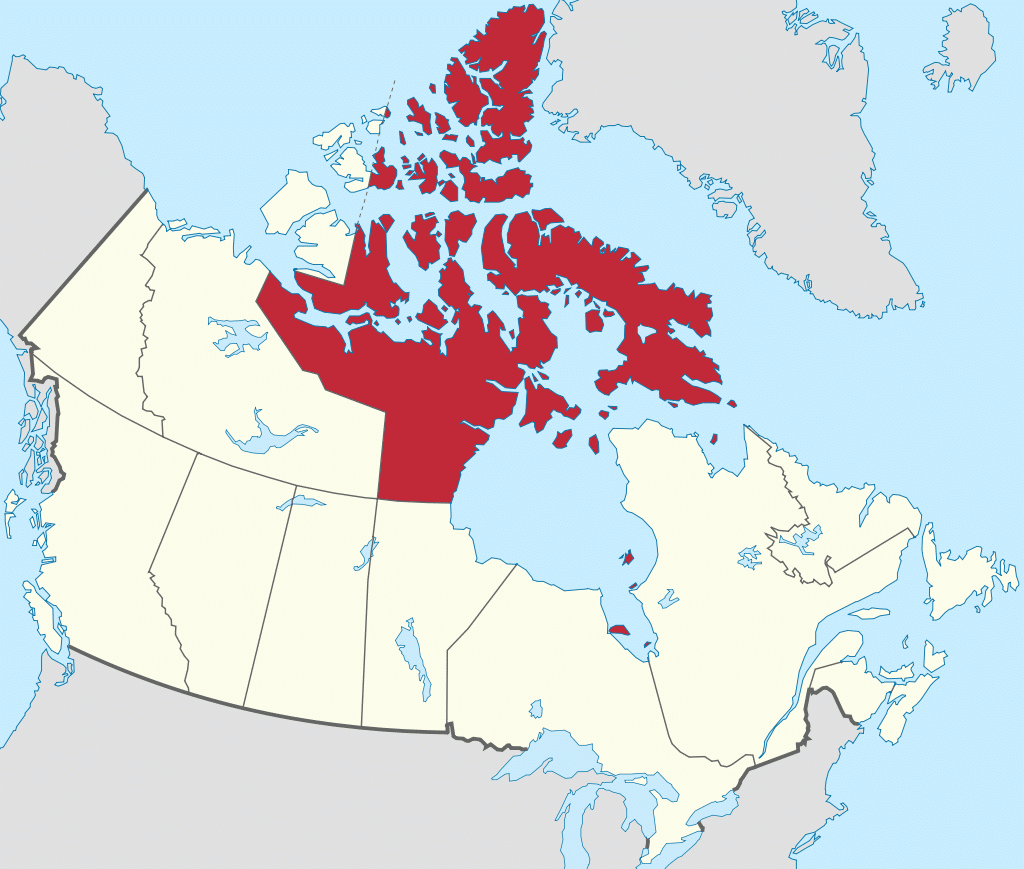
Nunavut has long land borders with the Northwest Territories on the mainland and a few Arctic islands, and with Manitoba to the south of the Nunavut mainland; it also meets Saskatchewan to the southwest at a quadripoint). Through its small satellite territories in the southeast, it has short land borders with Newfoundland and Labrador on Killiniq Island, with Ontario in two locations in James Bay – the larger located west of Akimiski Island, and the smaller around the Albany River near Fafard Island – and with Quebec in many locations, such as near Eastmain and near Inukjuak. It also shares maritime borders with Greenland.
Nunavut’s highest point is Barbeau Peak (2,616 m) on Ellesmere Island. The population density is 0.019 persons/km2, one of the lowest in the world. By comparison, Greenland has approximately the same area and nearly twice the population.
History:
Early History:
The region now known as Nunavut has supported a continuous indigenous population for approximately 4,000 years. Most historians identify the coast of Baffin Island with the Helluland described in Norse sagas, so it is possible that the inhabitants of the region had occasional contact with Norse sailors.