Oklahoma has four primary mountain ranges: the Ouachita Mountains, the Arbuckle Mountains, the Wichita Mountains, and the Ozark Mountains.
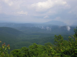
Contained within the U.S. Interior Highlands region, the Ozark and Ouachita Mountains are the only major mountainous region between the Rocky Mountains and the Appalachians. A portion of the Flint Hills stretches into north-central Oklahoma.
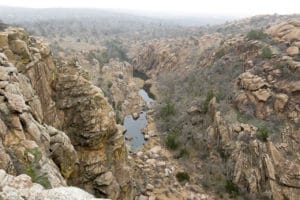
The semi-arid high plains in the state’s northwestern corner harbor few natural forests; the region has a rolling to flat landscape with intermittent canyons and mesa ranges like the Glass Mountains. Partial plains interrupted by small, sky island mountain ranges like the Antelope Hills and the Wichita Mountains dot southwestern Oklahoma; transitional prairie and oak savannas cover the central portion of the state. The Ozark and Ouachita Mountains rise from west to east over the state’s eastern third, gradually increasing in elevation in an eastward direction.
History:
Pre-History:
Evidence suggests indigenous peoples traveled through Oklahoma as early as the last ice age. Ancestors of the Wichita, Kichai, Teyas, Escanjaques, and Caddo lived in what is now Oklahoma. Southern Plains villagers lived in the central and west of the state, with a subgroup, the Panhandle culture people living in panhandle region. Caddoan Mississippian culture peoples lived in the eastern part of the state.

Spiro Mounds, in what is now Spiro, Oklahoma, was a major Mississippian mound complex that flourished between CE 850 and 1450.
Early Exploration:
The Spaniard Francisco Vázquez de Coronado traveled through the state in 1541, but French explorers claimed the area in the 1700s.

In the 18th century, Kiowa, Apache, and Comanche entered the region from the west and Quapaw and Osage peoples moved into what is now eastern Oklahoma. French colonists claimed the region until 1803, when all the French territory west of the Mississippi River was purchased by the United States in the Louisiana Purchase.
US Occupation:
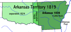
The territory now known as Oklahoma was first a part of the Arkansas Territory from 1819 until 1828.
During the 19th century, thousands of Native Americans were expelled from their ancestral homelands from across North America and transported to the area including and surrounding present-day Oklahoma. The Choctaw was the first of the Five Civilized Tribes to be removed from the Southeastern United States. The phrase “Trail of Tears” originated from a description of the removal of the Choctaw Nation in 1831, although the term is usually used for the Cherokee removal.
Seventeen thousand Cherokees and 2,000 of their black slaves were deported. The area, already occupied by Osage and Quapaw tribes, was called for the Choctaw Nation until revised Native American and then later American policy redefined the boundaries to include other Native Americans. By 1890, more than 30 Native American nations and tribes had been concentrated on land within Indian Territory or “Indian Country”.
