Independence:
Four of the Trust Territory districts joined together and formed the Federated States of Micronesia in 1979, but the districts of Palau and the Marshall Islands declined to participate. Palau, the westernmost cluster of the Carolines, instead opted for independent status in 1978, which was widely supported by the Philippines, Taiwan, and Japan. It approved a new constitution and became the Republic of Palau on 1 January 1981. It signed a Compact of Free Association with the United States in 1982. After eight referenda and an amendment to the Palauan constitution, the Compact was ratified in 1993. The Compact went into effect on 1 October 1994.
Geography:
Palau’s territory consists of an archipelago located in the Pacific Ocean. Its most populous islands are Angaur, Babeldaob, Koror and Peleliu. The latter three lie together within the same barrier reef, while Angaur is an oceanic island several kilometers to the south. About two-thirds of the population lives on Koror.
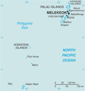
The coral atoll of Kayangel is north of these islands, while the uninhabited Rock Islands (about 200) are west of the main island group. A remote group of six islands, known as the Southwest Islands, some 604 kilometers (375 miles) from the main islands, make up the states of Hatohobei and Sonsorol.
Economy:
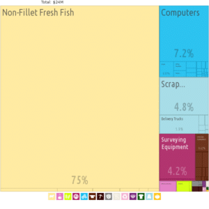
Palau’s economy consists primarily of tourism, subsistence agriculture and fishing. Tourist activity focuses on scuba diving and snorkeling in the islands’ rich marine environment, including its barrier reefs’ walls and World War II wrecks. The government is the largest employer, relying heavily on U.S. financial assistance. Business and tourist arrivals numbered some 50,000 in fiscal year 2000–2001.
The population enjoys a per capita income twice that of Micronesia as a whole. Long-term prospects for the key tourist sector have been greatly bolstered by the expansion of air travel in the Pacific, the rising prosperity of leading East Asian countries and the willingness of foreigners to finance infrastructure development.
Major tourist draws in Palau include Rock Islands Southern Lagoon, a UNESCO world heritage site, and four tentative UNESCO sites, namely, Ouballang ra Ngebedech (Ngebedech Terraces), Imeong Conservation Area, Yapease Quarry Sites, and Tet el Bad (Stone Coffin).
Transportation:
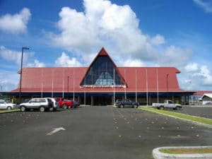
Palau International Airport provides scheduled direct flights with Guam, Manila, Seoul and Taipei. In addition, the states of Angaur and Peleliu have regular service to domestic destinations.
Freight, military and cruise ships often call at Malakal Harbor, on Malakal Island outside Koror. The country has no railways, and of the 61 km or 38 mi of highways, only 36 km or 22 mi are paved. Driving is on the right and the speed limit is 40 km/h (25 mph). Taxis are available in Koror. They are not metered and fares are negotiable. Transportation between islands mostly relies on private boats and domestic air services. However, there are some state run boats between islands as a cheaper alternative.
Flag of Palau:
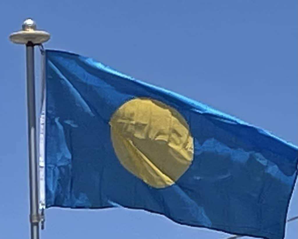
The flag of Palau was adopted on 1 January 1981, when the island group separated from the United Nations Trust Territory. As with the flags of several other Pacific island groups, light blue is the color used to represent the ocean and the nation’s place within it. While this puts Palau in common with the Federated States of Micronesia and other neighboring island groups, the disc on the flag (similar to that on Japan’s flag) is off-center like that of the flag of Bangladesh, but in this case represents the moon instead of the sun. The current flag was introduced in 1981 when Palau became a republic.
