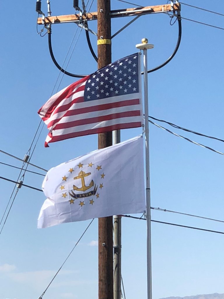
The MBTA Commuter Rail’s Providence/Stoughton Line links Providence and T. F. Green Airport with Boston. Amtrak’s Acela Express stops at Providence Station, linking Providence to other cities in the Northeast Corridor. Amtrak’s Northeast Regional service makes stops at Providence Station, Kingston, and Westerly.
Rhode Island’s primary airport for passenger and cargo transport is T. F. Green Airport in Warwick, though most Rhode Islanders who wish to travel internationally on direct flights and those who seek a greater availability of flights and destinations often fly through Logan International Airport in Boston.
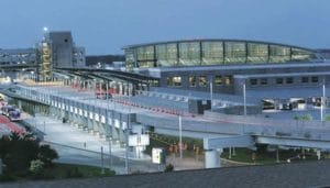
Interstate 95 runs southwest to northeast across the state, linking Rhode Island with other states along the East Coast. Interstate 295 functions as a partial beltway encircling Providence to the west. Interstate 195 provides a limited-access highway connection from Providence (and Connecticut and New York via I-95) to Cape Cod.
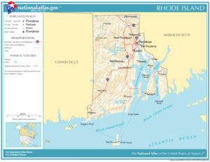
Several bridges cross Narragansett Bay connecting Aquidneck Island and Conanicut Island to the mainland, most notably the Claiborne Pell Newport Bridge and the Jamestown-Verrazano Bridge.
The Flag:
The present flag of the state of Rhode Island was formally adopted in 1897. As early as the 1640s, the anchor and “hope” were found on the Rhode Island Seal, and the seal’s words and emblems were likely inspired by the biblical phrase “hope we have as an anchor of the soul,” found in Hebrews, Verse 6:18-19. Rhode Island’s earliest colonists were fleeing persecution in Massachusetts due to their religious beliefs.
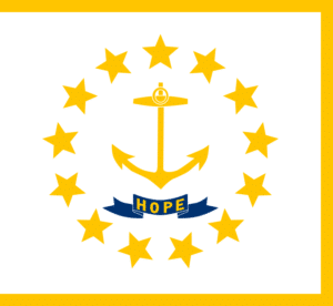
The state of Rhode Island and Providence Plantantions enacted legislation making this the official flag:
“The flag of the state shall be white, five feet and six inches (5′6″) fly and four feet and ten inches (4′10″) deep on the pike, bearing on each side in the center a gold anchor, twenty-two inches (22″) high, and underneath it a blue ribbon twenty-four inches (24″) long and five inches (5″) wide, or in these proportions, with the motto “Hope” in golden letters thereon, the whole surrounded by thirteen (13) golden stars in a circle. The flag shall be edged with yellow fringe. The pike shall be surmounted by a spearhead and the length of the pike shall be nine feet (9′), not including the spearhead.”
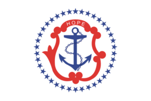
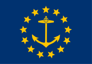
Prior to the adoption of the current flag, at least two other state flags were in use:
The State Nickname – The Ocean State:
This nickname was formulated to attract tourism to Rhode Island and appears on non-commercial license plates.
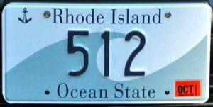
“Ocean State” began appearing on Rhode Island license plates again in 1972, replacing “Discover.” The Rhode Island Tourism Division promotes over 400 miles of coastline. This is not all ocean frontages but includes Narragansett Bay extending inland from the Atlantic Ocean north to the center of the state. All Rhode Islanders live within a 30-minute drive to the Atlantic Ocean or Narragansett Bay.
