
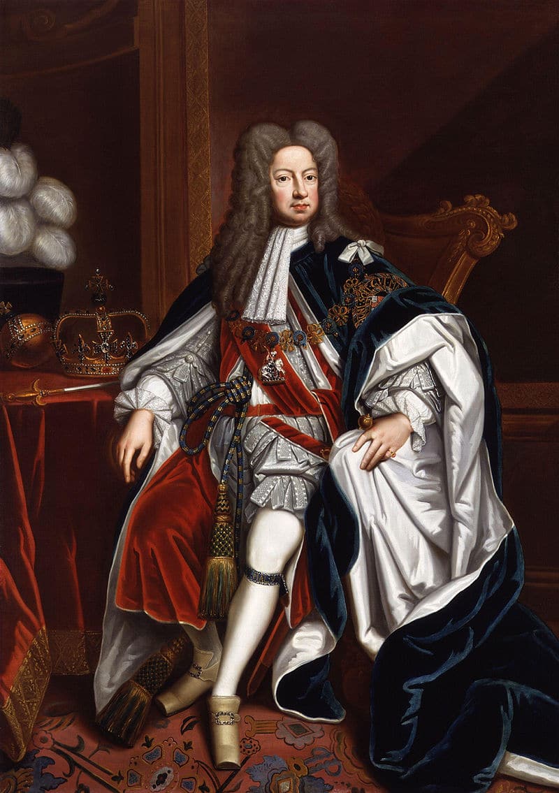
In 1722, George I of Great Britain granted both Saint Lucia and Saint Vincent to The 2nd Duke of Montagu. He in turn appointed Nathaniel Uring, a merchant sea captain and adventurer, as deputy-governor. Uring went to the islands with a group of seven ships, and established settlement at Petit Carenage. Unable to get enough support from British warships, he and the new colonists were quickly run off by the French.
During the Seven Years’ War, Britain occupied Saint Lucia for a year. Britain handed the island back to the French at the Treaty of Paris in 1763. Like the English and Dutch on other islands, the French began to develop the land for the cultivation of sugar cane as a commodity crop on large plantations in 1765.

The British occupied the island again between 1778 and 1784.
In 1803, the British regained control of the island.
France and Great Britain continued to contest Saint Lucia until the British secured it in 1814, as part of the Treaty of Paris ending the Napoleonic Wars. Thereafter, Saint Lucia was considered part of the British Windward Islands colony.
20th Century:
The Second World War visited the island directly during the Battle of the Caribbean, when a German U-boat attacked and sank two British ships in Castries harbor on 9 March 1942.
In the mid-twentieth century, Saint Lucia joined the West Indies Federation (1958–1962) when the colony was dissolved. In 1967, Saint Lucia became one of the six members of the West Indies Associated States, with internal self-government. In 1979, it gained full independence under Sir John Compton of the conservative United Workers party (UWP). The new country chose to remain within the British Commonwealth and to retain Queen Elizabeth as Monarch, represented locally by a Governor-General.
Geography:
The volcanic island of Saint Lucia is more mountainous than most Caribbean islands, with the highest point being Mount Gimie, at 950 meters (3,120 feet) above sea level. Two other mountains, the Pitons, form the island’s most famous landmark. They are located between Soufrière and Choiseul on the western side of the island. Saint Lucia is the only island in the world that contains a drive-in volcano. Forests cover about 77% of the land area.
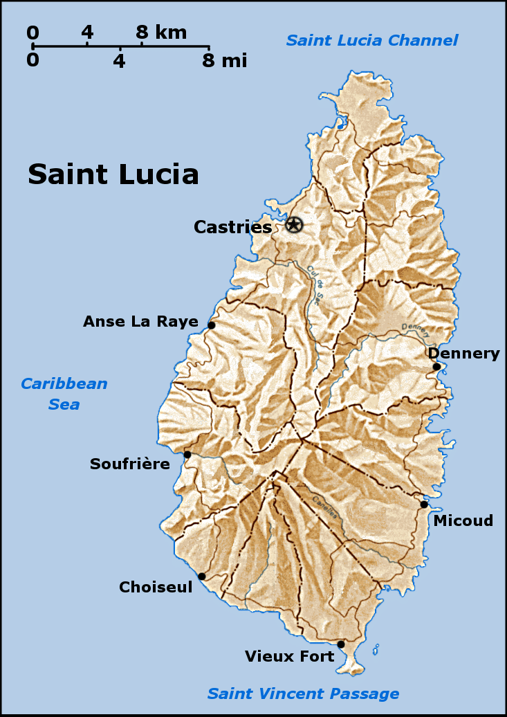
There are a number of small islands off the coast, the largest of which are the Maria Islands in the south-east.
The capital city of Saint Lucia is Castries (population 60,263) where 32.4% of the population lives. Other major towns include Gros Islet, Soufrière, and Vieux Fort. The population tends to be concentrated around the coast, with the interior more sparsely populated, due to the presence of dense forests.
Economy:
The United Nations categorizes Saint Lucia as a Small Island Developing State, a designation similar to a developing country with a few substantial differences due to Saint Lucia’s island nature. The services sector accounted for 82.8% of GDP, followed by industry and agriculture at 14.2% and 2.9%, respectively.