
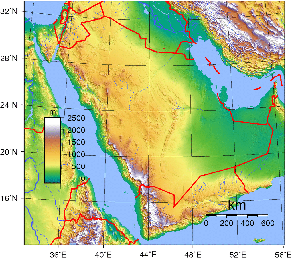
Saudi Arabia’s diverse geography is dominated by the Arabian Desert, associated semi-desert, shrubland, steppes, several mountain ranges, volcanic lava fields and highlands. The 647,500 km2 (250,001 sq mi) Rub’ al Khali (“Empty Quarter”) in the southeastern part of the country is the world’s largest contiguous sand desert. Though there are lakes in the country, Saudi Arabia is the largest country in the world by area with no permanent rivers. Wadis, non-permanent rivers, however, are very numerous. The fertile areas are to be found in the alluvial deposits in wadis, basins, and oases. The main topographical feature is the central plateau which rises abruptly from the Red Sea and gradually descends into the Nejd and toward the Persian Gulf. On the Red Sea coast, there is a narrow coastal plain, known as the Tihamah parallel to which runs an imposing escarpment. The southwest province of Asir is mountainous, and contains the 3,133 m (10,279 ft) Mount Sawda, which is the highest point in the country.
Economy:
As of October 2018, Saudi Arabia is the largest economy in the Middle East and the 18th largest in the world. Saudi Arabia has the world’s second-largest proven petroleum reserves and the country is the largest exporter of petroleum. It also has the fifth-largest proven natural gas reserves. Saudi Arabia is considered an “energy superpower”. It has the third highest total estimated value of natural resources, valued at US$34.4 trillion in 2016. Saudi Arabia’s command economy is petroleum-based; roughly 63% of budget revenues and 67% of export earnings come from the oil industry. It is strongly dependent on foreign workers with about 80% of those employed in the private sector being non-Saudi. Challenges to the Saudi economy include halting or reversing the decline in per-capita income, improving education to prepare youth for the workforce and providing them with employment, diversifying the economy, stimulating the private sector and housing construction, and diminishing corruption and inequality.

In addition to petroleum and gas, Saudi also has a significant gold mining sector in the ancient Mahd adh Dhahab region and significant other mineral industries, an agricultural sector (especially in the southwest but not only) based on vegetables, fruits, dates etc. and livestock, and large number of temporary jobs created by the roughly two million annual hajj pilgrims.
Transportation:
Transport in Saudi Arabia is facilitated through a relatively young system of roads, railways and seaways. Most of the network started construction after the discovery of oil in the Eastern Province in 1952, with the notable exception of Highway 40, which was built to connect the capital Riyadh to the economically productive Eastern Province, and later to the Islamic holy city of Mecca and the port city of Jeddah. With the arrival of petrodollars, the Kingdom of Saudi Arabia has initiated many infrastructure development projects across the country, and the extensive development of the transportation network has followed suit in support of various economic developments.
Road:
The roads of Saudi Arabia gradually became the defining feature of the kingdom’s road system as the main population centers are not only scattered all over the country but also because they faced a major challenge from the geography of the country itself; separated by deserts, valleys and mountains, among other landforms. Due to this, a reliable road network became more important and essential than other modes of transport in the kingdom.