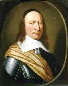
With Saint Martin free again, both the Dutch and the French jumped at the chance to re-establish their settlements. Dutch colonists came from St. Eustatius, while the French came from St. Kitts. After some initial conflict, both sides realized that neither would yield easily. Preferring to avoid an all-out war, they signed the Treaty of Concordia in 1648, which divided the island in two.
18th-19th Centuries:
To work the new cotton, tobacco and sugar plantations the French and Dutch began importing large numbers of African slaves, who soon came to outnumber the Europeans. Subjected to cruel treatment, slaves staged rebellions, and their overwhelming numbers made it impossible to ignore their concerns. In 1848, the French abolished slavery in their colonies including the French side of St. Martin. Slaves on the Dutch side of the island protested and threatened to flee to the French side to seek asylum. The local Dutch authorities then freed the colonies’ slaves. While this decree was respected locally, it was not until 1863 when the Dutch abolished slavery in all of their island colonies that the slaves became legally free.
20th Century:
After the abolition of slavery, plantation culture declined and the island’s economy suffered. In 1939 Sint Maarten received a major boost when it was declared a duty-free port. In 1941 the island was shelled by a German U-boat during World War II.
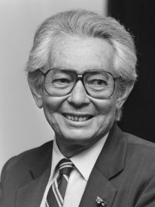
Tourism began growing from the 1950s onward, and Princess Juliana International Airport became one of the busiest in the Eastern Caribbean. For much of this period, Sint Maarten was governed by business tycoon Claude Wathey of the Democratic Party. The island’s demographics changed dramatically during this period as well, with the population increasing from a mere 5,000 people to around 60,000 people by the mid-1990s. Immigration from the neighboring Lesser Antilles, Curaçao, Haiti, the Dominican Republic, the United States, Europe, and Asia turned the native population into a minority.

Sint Maarten became an “island territory” (eilandgebied in Dutch) of the Netherlands Antilles in 1983. Before that date, Sint Maarten was part of the island territory of the Windward Islands, together with Saba and Sint Eustatius. The status of an island territory entails considerable autonomy summed up in the Island Regulation of the Netherlands Antilles. During this period Sint Maarten was ruled by an island council, an executive council, and a Lieutenant Governor (Dutch: gezaghebber) appointed by the Dutch Crown.
Hurricane Luis hit the island in 1995, causing immense destruction and resulting in 12 deaths.
21st Century:
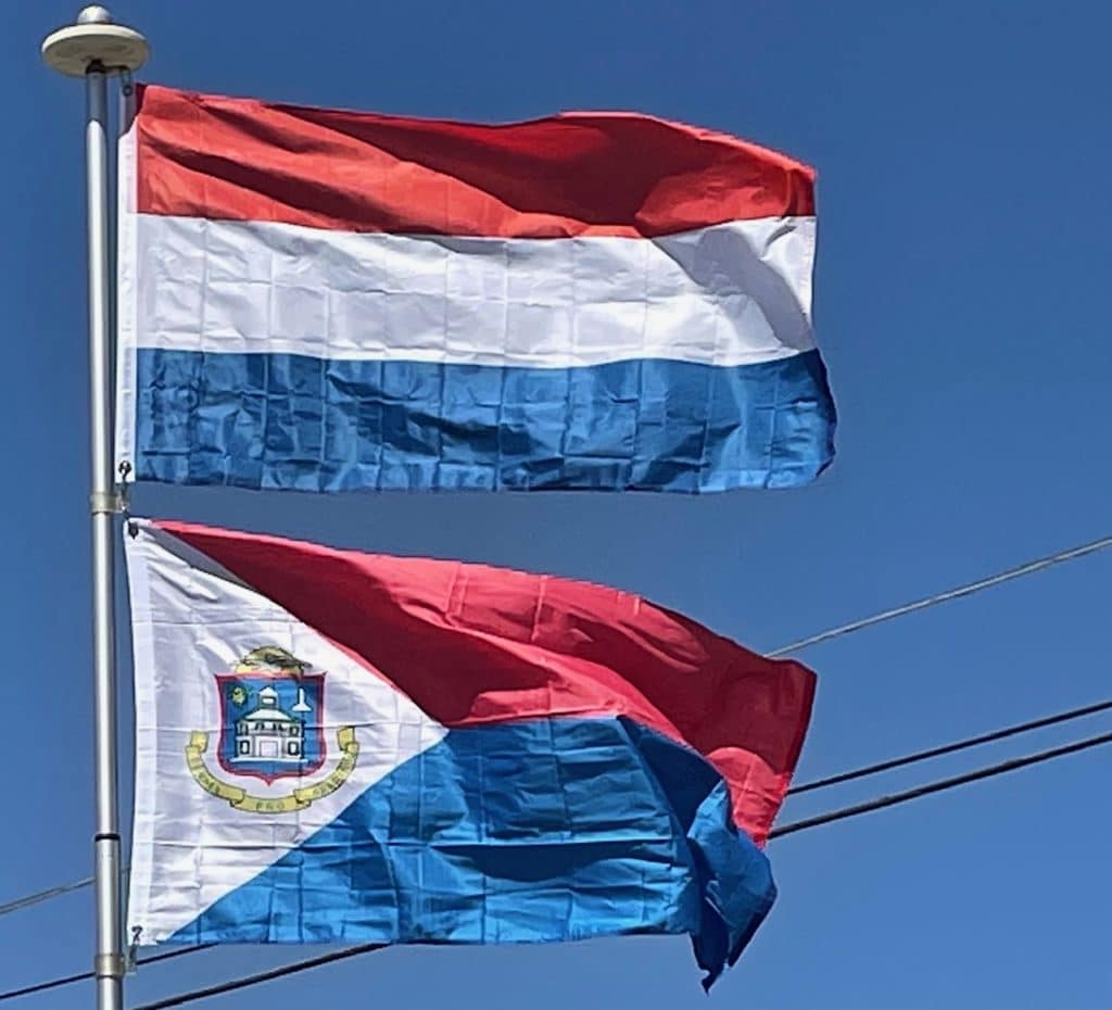
On 10 October 2010 Sint Maarten became a constituent country within the Kingdom of the Netherlands, making it a constitutional equal partner with Aruba, Curaçao, and the Netherlands proper.
Geography:
Sint Maarten occupies the southern half of the island of Saint Martin in the Leeward Islands; the northern half forms the French territory of Saint Martin. To the north across the Anguilla Channel lies the British Overseas Territory of Anguilla, to the south-east of the island lies the French island of Saint Barthélemy, and further south are the Dutch islands of Saba and Saint Eustatius.
