
After winning the 2020 elections, Chan Santokhi was the sole nomination for president of Suriname. On 13 July, Santokhi was elected president by acclamation in an uncontested election. He was inaugurated on 16 July in a ceremony without public attendance due to the COVID-19 pandemic.
Geography:
Suriname is the smallest independent country in South America. Situated on the Guiana Shield, it lies mostly between latitudes 1° and 6°N, and longitudes 54° and 58°W. The country can be divided into two main geographic regions. The northern, lowland coastal area (roughly above the line Albina-Paranam-Wageningen) has been cultivated, and most of the population lives here. The southern part consists of tropical rainforest and sparsely inhabited savanna along the border with Brazil, covering about 80% of Suriname’s land surface.
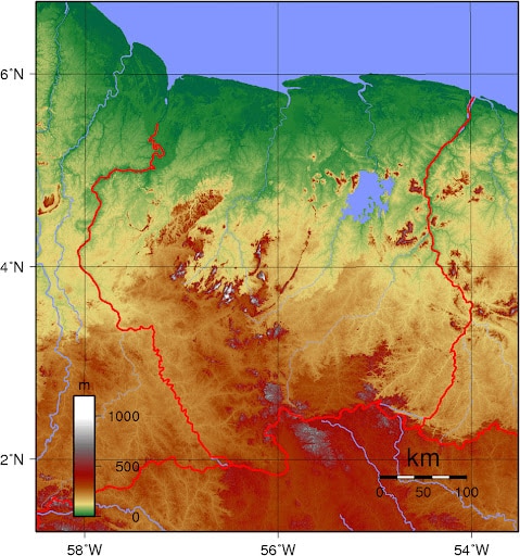
The two main mountain ranges are the Bakhuys Mountains and the Van Asch Van Wijck Mountains. Julianatop is the highest mountain in the country at 1,286 meters (4,219 ft) above sea level. Other mountains include Tafelberg at 1,026 meters (3,366 ft), Mount Kasikasima at 718 meters (2,356 ft), Goliathberg at 358 meters (1,175 ft) and Voltzberg at 240 meters (790 ft).
Economy:
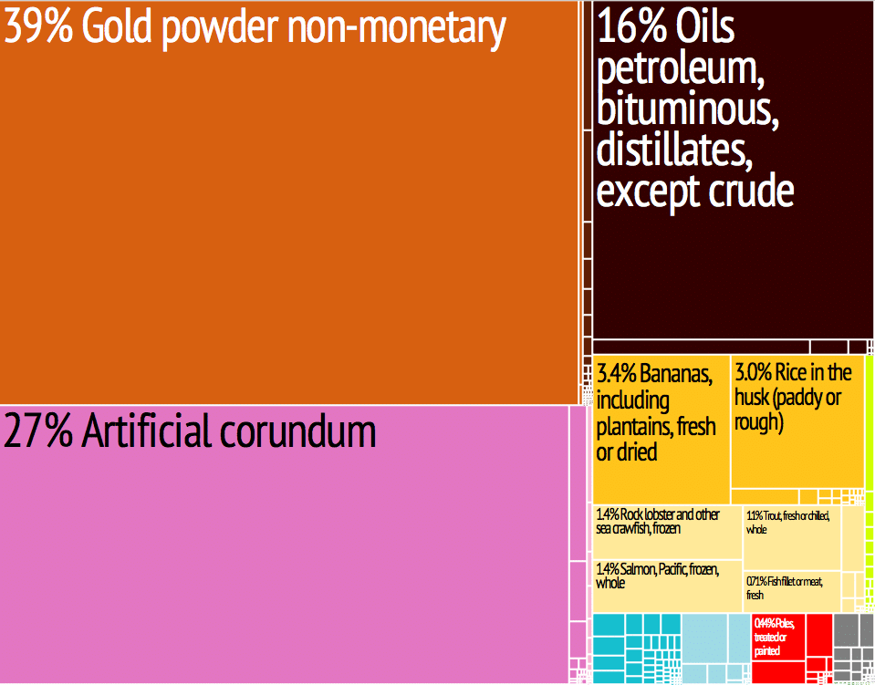
Suriname’s democracy gained some strength after the turbulent 1990s, and its economy became more diversified and less dependent on Dutch financial assistance. Bauxite (aluminium ore) mining used to be a strong revenue source. The discovery and exploitation of oil and gold has added substantially to Suriname’s economic independence. Agriculture, especially rice and bananas, remains a strong component of the economy, and ecotourism is providing new economic opportunities. More than 93% of Suriname’s land-mass consists of unspoiled rain forest; with the establishment of the Central Suriname Nature Reserve in 1998, Suriname signaled its commitment to conservation of this precious resource. The Central Suriname Nature Reserve became a World Heritage Site in 2000.
Transportation:
Suriname has 4303 km of roads of which 1119km are paved. Transport into the interior is mostly by river and by air due to a lack of roads in the rain forest.

Flag of Suriname:
The Flag of Suriname was legally adopted on 25 November 1975, upon the independence of Suriname. Prior to that, there were two different flags. The people of Suriname disapproved of the new flag and in 1959 the government held a national competition to design another flag.
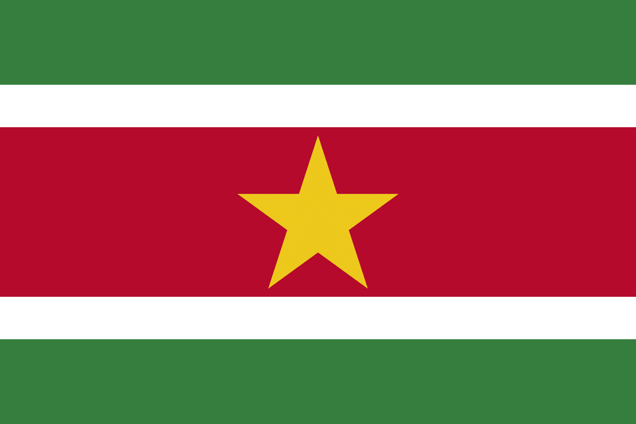
In 1986, the national anthem, national flag, and the national coat of arms were officially accepted by the Surinamese. The flag of Suriname was raised for the first time on the Independence Day of the Republic of Suriname.