
In 2006, the United Nations sent in security forces to restore order when unrest and factional fighting forced 15 percent of the population (155,000 people) to flee their homes. The following year, Gusmão declined another presidential term, and in the build-up to the mid-year presidential elections there were renewed outbreaks of violence. In those elections, José Ramos-Horta was elected President. In June 2007, Gusmão ran in the parliamentary elections and became Prime Minister. In February 2008, Ramos-Horta was critically injured in an attempted assassination. Prime Minister Gusmão also faced gunfire separately but escaped unharmed. Australian reinforcements were immediately sent to help keep order. In March 2011, the UN handed over operational control of the police force to the East Timor authorities. The United Nations ended its peacekeeping mission on 31 December 2012.
 4")
East Timor became a state party to the UNESCO World Heritage Convention on 31 January 2017.
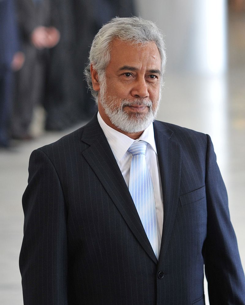
Francisco Guterres of centre-left Fretilin party has been the president of East Timor since May 2017. The main party of AMP coalition, National Congress for Timorese Reconstruction, led by independence hero Xanana Gusmao, was in power from 2007-17, but leader of Fretilin Mari Alkatiri formed a coalition government after July 2017 parliamentary election. However, the new minority government soon fell, meaning second general election in May 2018. In June 2018, former president and independence fighter Jose Maria de Vasconcelos known as Taur Matan Ruak of three-party coalition, Alliance of Change for Progress (AMP), became the new prime minister.
Geography:
Located in between Southeast Asia and Oceania, the island of Timor is part of Maritime Southeast Asia, and is the largest and easternmost of the Lesser Sunda Islands. To the north of the island are the Ombai Strait, Wetar Strait, and the greater Banda Sea. The Timor Sea separates the island from Australia to the south, and the Indonesian province of East Nusa Tenggara lies to East Timor’s west. The total land size is 14,919 km2 (5,760 sq mi). East Timor has an exclusive economic zone of 70,326 km2 (27,153 sq mi).
Much of the country is mountainous, and its highest point is Tatamailau (also known as Mount Ramelau) at 2,963 metres (9,721 ft). The climate is tropical and generally hot and humid. It is characterized by distinct rainy and dry seasons. The capital, largest city, and main port is Dili, and the second-largest city is the eastern town of Baucau.
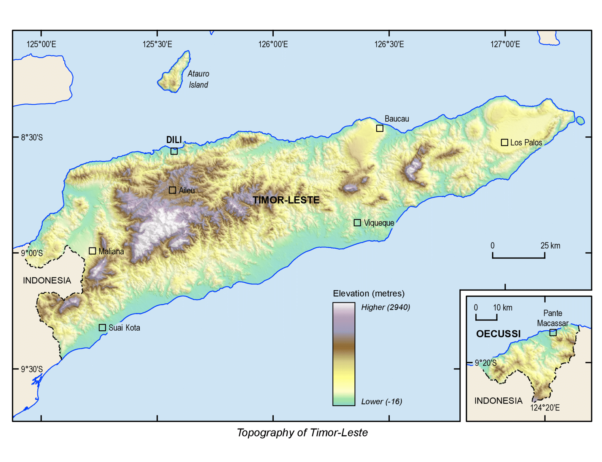
The easternmost area of East Timor consists of the Paitchau Range and the Lake Ira Lalaro area, which contains the country’s first conservation area, the Nino Konis Santana National Park. It contains the last remaining tropical dry forested area within the country. It hosts a number of unique plant and animal species and is sparsely populated. The northern coast is characterized by a number of coral reef systems that have been determined to be at risk.
Economy:
The economy of East Timor is a market economy, which used to depend upon exports of a few commodities such as coffee, marble, petroleum, and sandalwood. It grew by about 10% in 2011 and at a similar rate in 2012.
East Timor now has revenue from offshore oil and gas reserves, but little of it has been spent on the development of villages, which still rely on subsistence farming. As of 2012, nearly half the East Timorese population was living in extreme poverty.