
Introduction:
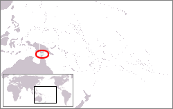
The Torres Strait Islands are a group of at least 274 small islands which lie in Torres Strait, the waterway separating far northern continental Australia’s Cape York Peninsula and the island of New Guinea.
The islands are mostly part of Queensland, a constituent State of the Commonwealth of Australia, with a special status fitting the native (Melanesian) land rights, administered by the Torres Strait Regional Authority. A few islands very close to the coast of mainland New Guinea belong to the Western Province of Papua New Guinea, most importantly Daru Island with the provincial capital, Daru.
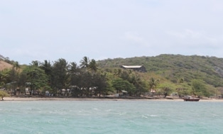
Only 14 of the islands are inhabited.
History:
The Torres Strait Islands were formed when the land separating Australia and New Guinea was flooded by rising sea levels around 6000 BCE.
The indigenous inhabitants of the Torres Strait Islands are the Torres Strait Islanders, an ethnically Melanesian people who also inhabited the northern tip of Cape York Peninsula, distinct from the Australian Aboriginals who are the Indigenous Australians in the rest of the country.
The Spanish navigator Luís Vaez de Torres explored Torres Strait in 1606. Torres had joined the Queirós expedition which sailed from Peru across the Pacific Ocean in search of Terra Australis.
Lieutenant James Cook first claimed British sovereignty over the eastern part of Australia at Possession Island in 1770. The London Missionary Society mission led by Rev. Samuel Macfarlane arrived on Erub (Darnley Island) on 1 July 1871. The Islanders refer to this as “The Coming of the Light”, and all Island communities celebrate the occasion annually on 1 July. In 1879 Queensland annexed the Torres Strait Islands. They thus became part of the British colony of Queensland and (after 1901) of the Australian state of Queensland – although some of them lie just off the coast of New Guinea.
In 1898–1899 the Cambridge Anthropological Expedition led by Alfred Cort Haddon visited the Torres Strait Islands. In 1904 the Torres Strait Islanders became subject to the Aboriginal Protection and Restriction of the Sale of Opium Act.
From 1960 to 1973 Margaret Lawrie captured some of the Torres Strait Islander people’s culture by recording the retelling of local myths and legends. Her anthropological work, stored at the State Library of Queensland, has recently been recognized and registered with the Australian UNESCO Memory of the World Programme.
The proximity of the islands to Papua New Guinea became an issue when it started moving towards independence from Australia, which it gained in 1975. The Papua New Guinea government objected to the position of the border close to the New Guinean mainland and the subsequent complete Australian control over the waters of the strait. The Torres Strait Islanders opposed being separated from Australia and insisted on no change to the border. The Australian Federal government wished to cede the northern islands to appease Papua New Guinea, but were opposed by the Queensland government and Queensland Premier Sir Joh Bjelke-Petersen. Eventually an agreement was struck whereby the islands and their inhabitants remained Australian, but the maritime boundary between Australia and Papua New Guinea runs through the centre of the strait. In practice the two countries co-operate closely in the management of the strait’s resources.
Geography:
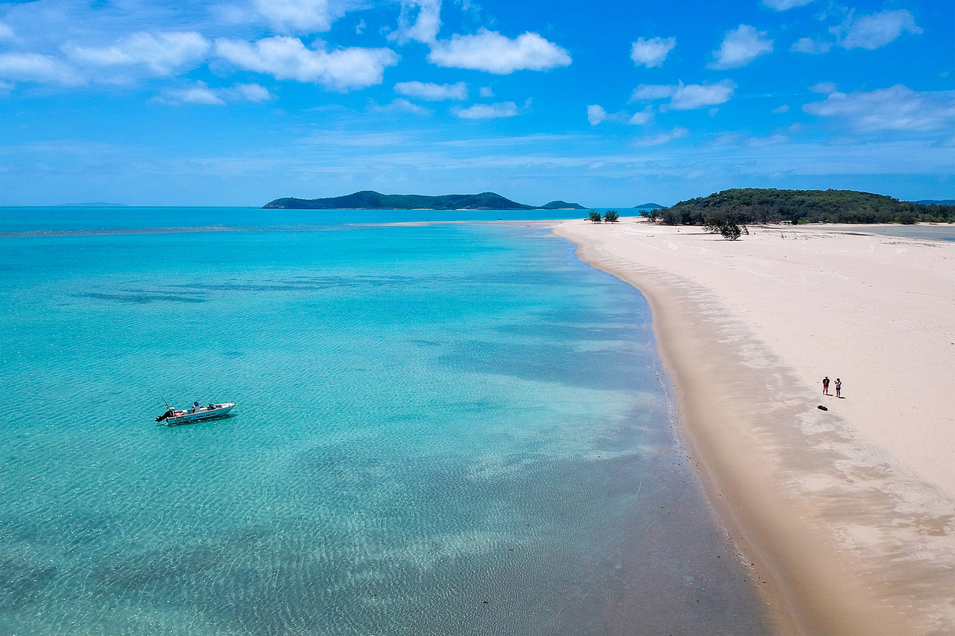
The islands span an area of some 19,000 square miles. The strait from Cape York to New Guinea has a width of approximately 93 miles at its narrowest point; the islands lie scattered in between, extending some 120 to 190 miles from furthest east to furthest west. The total land area of the islands comprises 219 square miles. 53,830 acres of land are used for agricultural purposes.