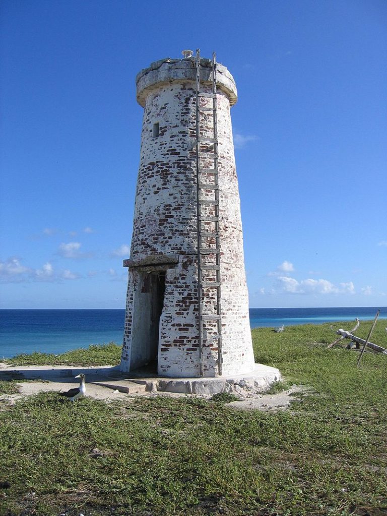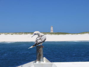
Seabird species such as the lesser frigatebird, brown noddy and sooty tern use the island for nesting and roosting. The island is also believed to be a rest stop for arctic-breeding shorebirds.
National Wildlife Refuge:
On June 27, 1974, Secretary of the Interior Rogers Morton created Baker Island National Wildlife Refuge which was expanded in 2009 to add submerged lands within 12 nautical miles of the island. The refuge now includes 531 acres of land and 410,184 acres of water. Baker, along with six other islands, was administered by the U.S. Fish and Wildlife Service as part of the Pacific Remote Islands National Wildlife Refuge Complex. In January 2009, that entity was re-designated the Pacific Remote Islands Marine National Monument by President George W. Bush.
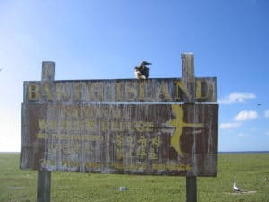
Environmental challenges include abandoned military debris from World War II and illegal fishing offshore. Invasive exotics introduced by human activity, including cockroaches and coconut palms, have also displaced native wildlife. Feral cats, first introduced in 1937, were eradicated in 1965.
Public entry to the island is only by special use permit from the U.S. Fish and Wildlife Service and it is generally restricted to scientists and educators. Representatives from the agency visit the island on average once every two years, usually coordinating transportation with a NOAA vessel.
Ruins and Artifacts:
Debris from past human occupation is scattered throughout the island and in offshore waters. Most is from the U.S. military occupation of the island from 1942 to 1946. The most noticeable remnant is the 5,400-by-150-foot airstrip. It is completely overgrown with vegetation and unusable. In the northeast section, apparently the main camp area, are the remains of several buildings and heavy equipment. Five wooden antenna poles about 40 feet in height remain standing in the camp.
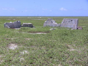
Debris from several crashed airplanes and large equipment such as bulldozers is scattered around the island. Numerous bulldozer excavations containing the remnants of metal, fuel and water drums are scattered about the north central portion and northern edge of the island. The Navy reported the loss of 11 landing craft in the surf during World War II.
Howland Island
Introduction:
Howland Island is an uninhabited coral island located just north of the equator in the central Pacific Ocean, about 1,700 nautical miles southwest of Honolulu. The island lies almost halfway between Hawaii and Australia and is an unincorporated, unorganized territory of the United States.
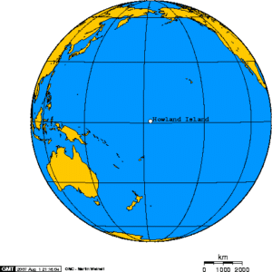
Geographically, together with Baker Island it forms part of the Phoenix Islands. It covers 1,112 acres with 4 miles of coastline. The island has an elongated plantain-shape on a north–south axis. There is no lagoon.
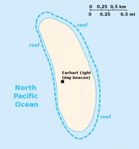
Howland Island National Wildlife Refuge consists of the entire island and the surrounding 32,074 acres of submerged land. The island is managed by the U.S. Fish and Wildlife Service as an insular area under the U.S. Department of the Interior and is part of the Pacific Remote Islands Marine National Monument.
