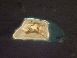
Jarvis Island is one of two United States territories that are in the southern hemisphere (the other is American Samoa). Located only 25 miles south of the equator, Jarvis has no known natural freshwater lens and scant rainfall. This creates a very bleak, flat landscape without any plants larger than shrubs. There is no evidence that the island has ever supported a self-sustaining human population. Its sparse bunch grass, prostrate vines and low-growing shrubs are primarily a nesting, roosting, and foraging habitat for seabirds, shorebirds, and marine wildlife.
History:
Discovery:
The island’s first known sighting by Europeans was on August 21, 1821 by the British ship Eliza Francis owned by Edward, Thomas and William Jarvis and commanded by Captain Brown.
The US Exploring Expedition surveyed the island in 1841. In March 1857 the island was claimed for the United States under the Guano Islands Act and formally annexed on February 27, 1858.
Nineteenth Century Guano Mining:
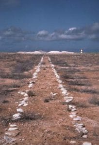
The American Guano Company, which was incorporated in 1857, established claims in respect of Baker Island and Jarvis Island which was recognized under the U.S. Guano Islands Act of 1856. Beginning in 1858, several support structures were built on Jarvis Island, along with a two-story, eight-room “superintendent’s house” featuring an observation cupola and wide veranda’s. Tram tracks were laid down for bringing mined guano to the western shore. For the following twenty-one years, Jarvis was commercially mined for guano, sent to the United States as fertilizer, but the island was abruptly abandoned in 1879, leaving behind about a dozen buildings and 8,000 tons of mined guano.

New Zealand entrepreneurs, including photographer Henry Winkelmann, then made unsuccessful attempts to continue guano extraction on Jarvis, and the two-story house was sporadically inhabited during the early 1880s. Squire Flockton was left alone on the island as caretaker for several months and committed suicide there in 1883, apparently from gin-fueled despair. His wooden grave marker was a carved plank which could be seen in the island’s tiny four-grave cemetery for decades.
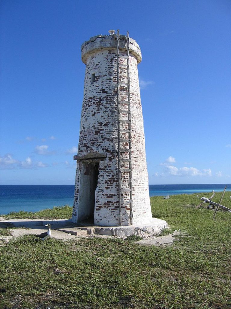
John T. Arundel & Co. resumed mining guano from 1886 to 1899. The United Kingdom annexed the island on June 3, 1889. Phosphate and copra entrepreneur John T. Arundel visited the island in 1909 on maiden voyage of the S.S. Ocean Queen and near the beach landing on the western shore members of the crew built a pyramidal day beacon made from slats of wood, which was painted white. The beacon was standing in 1935, and remained until at least 1942.

Millersville (1935–1942):
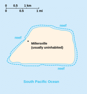
Jarvis Island was reclaimed by the United States government and colonized from March 26, 1935 onwards, under the American Equatorial Islands Colonization Project. President Franklin D. Roosevelt assigned administration of the island to the U.S. Department of the Interior on May 13, 1936. Starting out as a cluster of large, open tents pitched next to the still-standing white wooden day beacon, the Millersville settlement on the island’s western shore was named after a bureaucrat with the United States Department of Air Commerce. The settlement grew into a group of shacks built mostly with wreckage from foundered ships, lumber was also used by Hawaiian colonists to build surfboards, but later, stone and wood dwellings were built and equipped with refrigeration, radio equipment, and a weather station. A crude aircraft landing area was cleared on the northeast side of the island, and a T-shaped marker which was intended to be seen from the air was made from gathered stones, but no airplane is known to have ever landed there.
