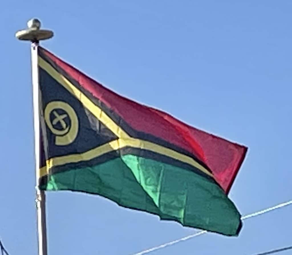
In 1996 Vohor and President Jean-Marie Léyé were briefly abducted by the Vanuatu Mobile Force over a pay dispute and later released unharmed. A riot occurred in Port Vila in 1998 when savers attempted to withdraw funds from the Vanuatu National Provident Fund following allegations of financial impropriety, prompting the government to declare a brief state of emergency. A Comprehensive Reform Program was enacted in the 1998 with the aim of improving economic performance and cracking down on government corruption. At the 1998 Vanuatuan general election the UMP were unseated by the VP under Donald Kalpokas. However Kalpokas lasted only a year, resigning when threatened with a no confidence vote, being replaced by Barak Sopé of the MPP in 1999, who himself was unseated in a confidence vote in 2001. Despite the political uncertainty Vanuatu’s economy continued to grow in this period, fueled by high demand for Vanuatu beef, tourism, remittances from foreign workers, and large aid packages from the Asian Development Bank (in 1997) and the US Millennium Challenge fund (in 2005). Vanuatu was removed from the OECD list of ‘uncooperative tax havens’ in 2003 and joined the World Trade Organization in 2011.

A corruption investigation in 2015 resulted in the conviction of numerous MPs in Kilman’s government for bribery, including former PM Moana Carcasses Kalosil. His authority severely weakened, Kilman lost the 2016 Vanuatuan general election to Charlot Salwai‘s Reunification Movement for Change (RMC). Salwai in turn lost the 2020 Vanuatuan general election amidst allegations of perjury, bringing back in the VP under Bob Loughman as the country dealt with the aftermath of Cyclone Harold and the global COVID-19 pandemic.
Vanuatu was one of the last places on Earth to have avoided a coronavirus outbreak, recording its first case of COVID-19 in November 2020.[95]
Geography:
Vanuatu is a Y-shaped archipelago consisting of about 83 relatively small, geologically newer islands of volcanic origin (65 of them inhabited), with about 1,300 kilometers (810 mi) between the most northern and southern islands. Two of these islands (Matthew and Hunter) are also claimed and controlled by France as part of the French collectivity of New Caledonia.
The fourteen of Vanuatu’s islands that have surface areas of more than 100 square kilometers (39 sq mi) are, from largest to smallest: Espiritu Santo, Malakula, Efate, Erromango, Ambrym, Tanna, Pentecost, Epi, Ambae or Aoba, Gaua, Vanua Lava, Maewo, Malo and Aneityum or Anatom. The nation’s largest towns are the capital Port Vila, on Efate, and Luganville on Espiritu Santo. The highest point in Vanuatu is Mount Tabwemasana, at 1,879 metres (6,165 ft), on the island of Espiritu Santo.
Vanuatu’s total area is roughly 12,274 square kilometers (4,739 sq mi), of which its land surface is very limited (roughly 4,700 square kilometers (1,800 sq mi)). Most of the islands are steep, with unstable soils and little permanent fresh water. One estimate, made in 2005, is that only 9% of land is used for agriculture (7% with permanent crops, plus 2% considered arable). The shoreline is mostly rocky with fringing reefs and no continental shelf, dropping rapidly into the ocean depths.
There are several active volcanoes in Vanuatu, including Lopevi, Mount Yasur and several underwater volcanoes. Volcanic activity is common, with an ever-present danger of a major eruption; a nearby undersea eruption of 6.4 magnitude occurred in November 2008 with no casualties, and an eruption occurred in 1945. Vanuatu is recognized as a distinct terrestrial ecoregion, which is known as the Vanuatu rain forests. It is part of the Australasian realm, which includes New Caledonia, the Solomon Islands, Australia, New Guinea and New Zealand.

