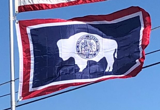
Introduction:
Wyoming is a state in the mountain region of the western United States. The state is the 10th largest by area, the least populous, and the second most sparsely populated state in the country. Wyoming is bordered on the north by Montana, on the east by South Dakota and Nebraska, on the south by Colorado, on the southwest by Utah, and on the west by Idaho and Montana.
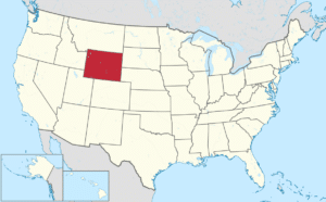
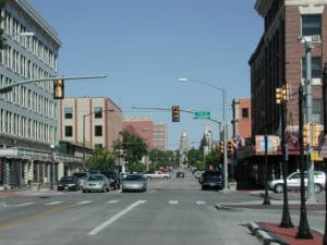
The state population was estimated at 586,107 in 2015, which is less than 31 of the most populous U.S. cities including neighboring Denver. Cheyenne is the state capital and the most populous city, with an estimated population of 63,335 in 2015.
The western two-thirds of the state is covered mostly by the mountain ranges and range lands of the Rocky Mountains, while the eastern third of the state is high elevation prairie called the High Plains. Almost half of the land in Wyoming is owned by the U.S. government. Federal lands include two national parks, Grand Teton and Yellowstone, as well as other public facilities.
Original inhabitants of the region include the Crow, Arapaho, Lakota, and Shoshone. Southwestern Wyoming was in the Spanish Empire and then Mexican territory until it was ceded to the United States in 1848 at the end of the Mexican–American War. The region acquired the name Wyoming when a bill was introduced to the U.S. Congress in 1865 to provide a “temporary government for the territory of Wyoming”. The name was used earlier for the Wyoming Valley in Pennsylvania, and is derived from the Munsee word xwé:wamənk, meaning “at the big river flat”.
The main drivers of Wyoming’s economy are mineral extraction—mostly coal, oil, natural gas, and trona—and tourism. Agricultural commodities include livestock (beef), hay, sugar beets, grain (wheat and barley), and wool. The climate is semi-arid and continental, drier and windier than the rest of the U.S., with greater temperature extremes.
Geography:
As specified in the designating legislation for the Territory of Wyoming, Wyoming’s borders are lines of latitude 41°N and 45°N, and longitude 104°3’W and 111°3’W, making the shape of the state a latitude-longitude quadrangle. Wyoming is one of only three states (along with Colorado and Utah) to have borders along only straight latitudinal and longitudinal lines, rather than being defined by natural landmarks. Due to surveying inaccuracies during the 19th century, Wyoming’s legal border deviates from the true latitude and longitude lines by up to half of a mile (0.8 km) in some spots, especially in the mountainous region along the 45th parallel.
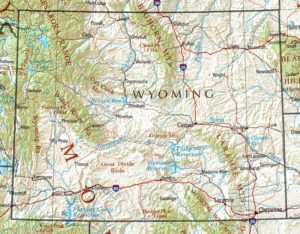
The Great Plains meet the Rocky Mountains in Wyoming. The state is a great plateau broken by many mountain ranges. Surface elevations range from the summit of Gannett Peak in the Wind River Mountain Range, at 13,804 feet, to the Belle Fourche River valley in the state’s northeast corner, at 3,125 feet. In the northwest are the Absaroka, Owl Creek, Gros Ventre, Wind River, and the Teton ranges. In the north central are the Big Horn Mountains; in the northeast, the Black Hills; and in the southern region the Laramie, Snowy, and Sierra Madre ranges.
