
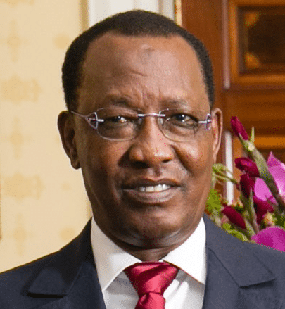
In 2006 Déby won a third mandate in elections that the opposition boycotted. Ethnic violence in eastern Chad has increased; the United Nations High Commissioner for Refugees has warned that a genocide like that in Darfur may yet occur in Chad. In 2006 and in 2008 rebel forces attempted to take the capital by force, but on both occasions failed. An agreement for the restoration of harmony between Chad and Sudan, signed 15 January 2010, marked the end of a five-year war. The fix in relations led to the Chadian rebels from Sudan returning home, the opening of the border between the two countries after seven years of closure, and the deployment of a joint force to secure the border. In May 2013, security forces in Chad foiled a coup against President Idriss Deby that had been in preparation for several months.
Chad is currently one of the leading partners in a West African coalition in the fight against Boko Haram. Chad has also been included on Presidential Proclamation 9645, the expanded version of United States president Donald Trump’s Executive Order 13780, which restricts entry by nationals from 8 countries, including Chad, into the US. This move has angered the Chadian government.
Geography:
Chad is divided into three distinct zones, the Sudanian Savanna in the south, the Sahara Desert in the north, and the Sahelian belt in the center.
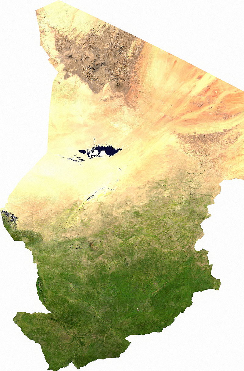
At 1,284,000 square kilometers (496,000 sq mi), Chad is the world’s 22nd-largest country. It is slightly smaller than Peru and slightly larger than South Africa. Chad is in north central Africa.
Chad is bounded to the north by Libya, to the east by Sudan, to the west by Niger, Nigeria and Cameroon, and to the south by the Central African Republic. The country’s capital is 1,060 kilometers (660 mi) from the nearest seaport, Douala, Cameroon. Because of this distance from the sea and the country’s largely desert climate, Chad is sometimes referred to as the “Dead Heart of Africa”.
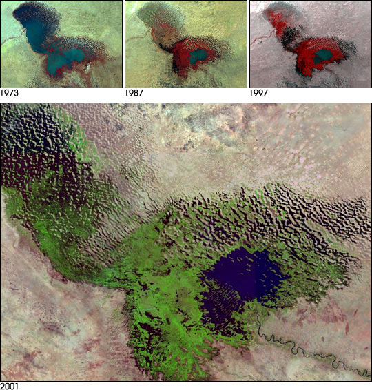
The dominant physical structure is a wide basin bounded to the north and east by the Ennedi Plateau and Tibesti Mountains, which include Emi Koussi, a dormant volcano that reaches 3,414 meters (11,201 ft) above sea level. Lake Chad, after which the country is named (and which in turn takes its name from the Kanuri word for “lake”), is the remains of an immense lake that occupied 330,000 square kilometers (130,000 sq mi) of the Chad Basin 7,000 years ago. Although in the 21st century it covers only 17,806 square kilometers (6,875 sq mi), and its surface area is subject to heavy seasonal fluctuations, the lake is Africa’s second largest wetland.
The region’s tall grasses and extensive marshes make it favorable for birds, reptiles, and large mammals. Chad’s major rivers—the Chari, Logone and their tributaries—flow through the southern savannas from the southeast into Lake Chad.
Economy:
The United Nations’ Human Development Index ranks Chad as the seventh poorest country in the world, with 80% of the population living below the poverty line.