
Introduction:
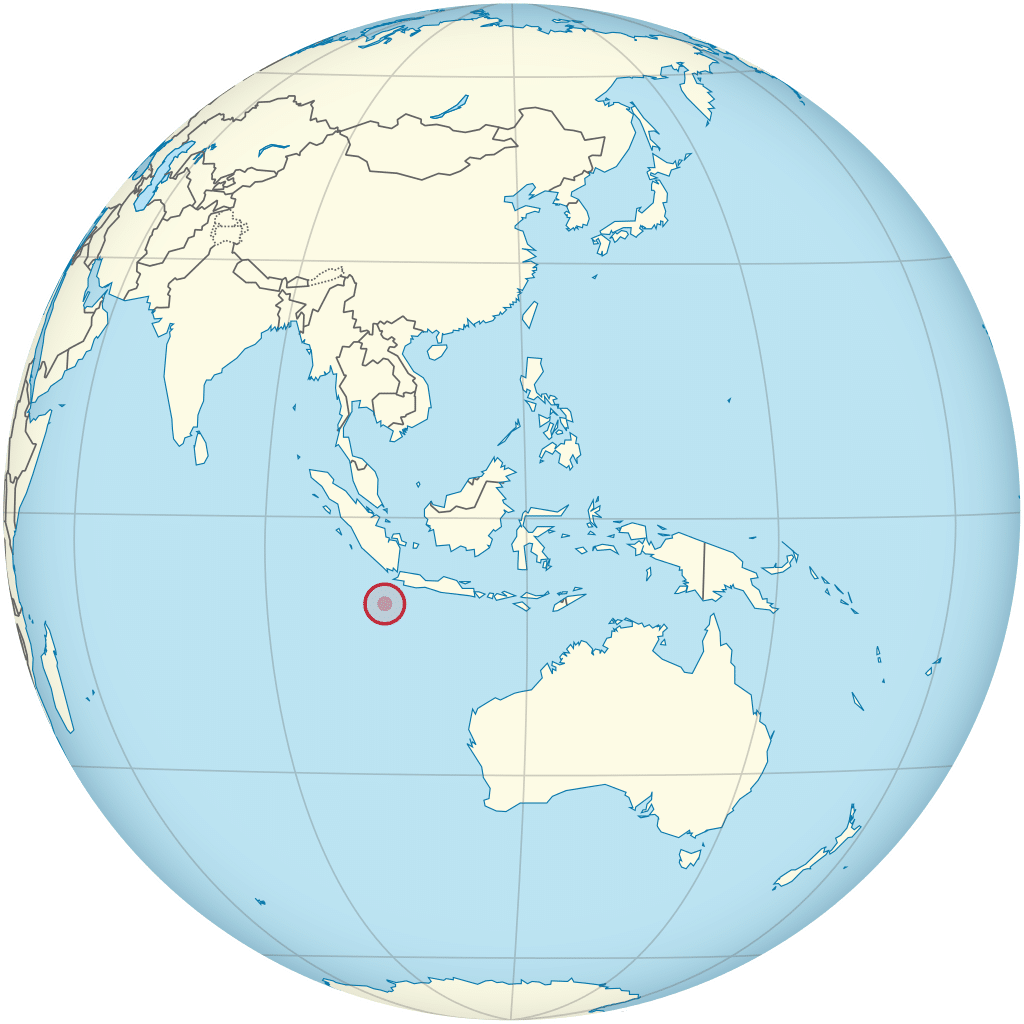
The Territory of Christmas Island is an Australian external territory comprising the island of the same name. Christmas Island is located in the Indian Ocean, around 220 miles south of Java and Sumatra and around 960 miles north-west of the closest point on the Australian mainland. It has an area of 52 square miles.
Christmas Island had a population of 1,843 residents as of 2016, the majority of whom live in settlements on the northern tip of the island. The main settlement is Flying Fish Cove. Around two-thirds of the island’s population is estimated to have Malaysian Chinese origin (though just 21.2% of the population declared a Chinese ancestry in 2016), with significant numbers of Malays and European Australians as well as smaller numbers of Malaysian Indians and Eurasians. Several languages are in use, including English, Malay, and various Chinese dialects. Islam and Buddhism are major religions on the island, though a vast majority of the population does not declare a formal religious affiliation and may be involved in ethnic Chinese religion.
The first European to sight the island was Richard Rowe of the Thomas in 1615. The island was later named on Christmas Day (25 December) 1643 by Captain William Mynors but only settled in the late 19th century. Its geographic isolation and history of minimal human disturbance has led to a high level of endemism among its flora and fauna, which is of interest to scientists and naturalists. The majority (63 percent) of the island is included in the Christmas Island National Park, which features several areas of primary monsoonal forest. Phosphate, deposited originally as guano, has been mined on the island since 1899.
History:
First Visits by Europeans:
The first European to sight the island was Richard Rowe of the Thomas in 1615. Captain William Mynors of the Royal Mary, an English East India Company vessel, named the island when he sailed past it on Christmas Day, in 1643. The island was included on English and Dutch navigation charts as early as the beginning of the 17th century, but it was not until 1666 that a map published by Dutch cartographer Pieter Goos included the island. Goos labelled the island “Mony” or “Moni”, the meaning of which is unclear.

English navigator William Dampier, aboard the English ship Cygnet, made the earliest recorded visit to the sea around the island in March 1688. He found it uninhabited. Dampier gave an account of the visit which can be found in his Voyages. Dampier was trying to reach Cocos from New Holland. His ship was blown off course in an easterly direction, arriving at Christmas Island twenty-eight days later. Dampier landed at the Dales (on the west coast). Two of his crewmen became the first Europeans to set foot on Christmas Island.
Captain Daniel Beeckman of the Eagle passed the island on 5 April 1714, chronicled in his 1718 book, A Voyage to and from the Island of Borneo, in the East-Indies.
Exploration and Annexation:
The first attempt at exploring the island was in 1857 by the crew of the Amethyst. They tried to reach the summit of the island but found the cliffs impassable.