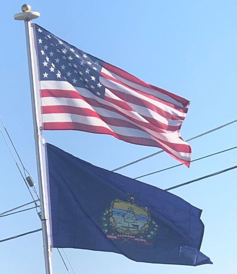
Tourism is an important industry to the state.
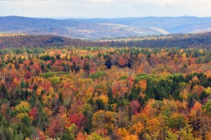
Some of the largest ski areas in New England are located in Vermont. Summer visitors tour resort towns like Stowe, Manchester, Quechee, Wilmington and Woodstock. Resorts, hotels, restaurants, and shops, designed to attract tourists, employ people year-round. Summer camps contribute to Vermont’s tourist economy.
In 2005 visitors made an estimated 13.4 million trips to the state, spending $1.57 billion. In 2012 fall accounted for $460 million of income, about one-quarter of all tourism.
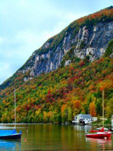
In 2011 the state government earned $274 million in taxes and fees from tourism. 89% of the money came from out-of-state visitors. Tourism supported over 26,000 jobs, 7.2% of total employment.
The towns of Rutland and Barre are the traditional centers of marble and granite quarrying and carving in the U.S. Barre is the location of the Rock of Ages quarry, the largest dimension stone granite quarry in the United States. Vermont is the largest producer of slate in the country.
Transportation:
Vermont’s main mode of travel is by automobile.
In 1968, Vermont outlawed the use of billboards for advertisement along its roads. It is one of four states in the U.S. to have done this, along with Hawaii, Maine, and Alaska.
The state has 2,843 miles (4,575 km) of highways under its control.
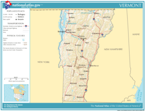
I-89 – Runs northwestward from White River Junction to serve both Montpelier and Burlington en route to the Canada–U.S. border.
I-91 – Runs northward from the Massachusetts border to the Canada–U.S. border, connecting Brattleboro, White River Junction, St. Johnsbury, and Newport.
I-93 – Has its northern terminus at I-91 in St. Johnsbury and connects the northern part of the state with New Hampshire and points south.
US 5 – Travels south to north along the eastern border of the state, parallel to I-91 for its entire length in the state.
US 7 – Runs south to north along the western border of the state connecting Burlington, Middlebury, Rutland, and Bennington. U.S. 7 parallels I-89 from Burlington northward to the Canada–U.S. border. Between Dorset and Bennington, it is generally a Super 2 freeway.
Vermont 100 – Runs south to north almost directly through the center of the state, providing a route along the full length of the Green Mountains.
US 2 – Crosses northern Vermont from west to east and connects the population centers of Burlington, Montpelier, and St. Johnsbury. It generally parallels Interstate 89 between Colchester and Montpelier.
US 4 – Crosses south-central Vermont from west to east. It connects with the New York border, in the town of Fair Haven, with the city of Rutland and continues running through Killington and White River Junction before continuing into New Hampshire. Between Fair Haven and Rutland, it is a four lane freeway that is mostly up to Interstate design standards.
US 302 – Travels eastward from Montpelier and Barre, into New Hampshire and Maine.
