
Introduction:
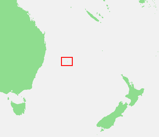
Lord Howe Island is an irregularly crescent-shaped volcanic remnant in the Tasman Sea between Australia and New Zealand, 320 nautical miles directly east of mainland Port Macquarie, 420 nautical miles northeast of Sydney, and about 490 nautical miles southwest of Norfolk Island. It is about 6.2 miles long and between 0.19 and 1.24 miles wide with an area of 3,600 acres, though 980 acres of that comprises the low-lying developed part of the island.
Along the west coast there is a sandy semi-enclosed sheltered coral reef lagoon. Most of the population lives in the north, while the south is dominated by forested hills rising to the highest point on the island, Mount Gower 2,871 feet. The Lord Howe Island Group comprises 28 islands, islets and rocks. Apart from Lord Howe Island itself the most notable of these is the volcanic and uninhabited Ball’s Pyramid about 12 nautical miles to the southeast of Howe. To the North lies a cluster of seven small uninhabited islands called the Admiralty Group.
The Lord Howe Island Group is part of the state of New South Wales and is regarded legally as an unincorporated area administered by the Lord Howe Island Board which reports to the New South Wales Minister for Environment and Heritage.
UNESCO records the Lord Howe Island Group as a World Heritage Site of global natural significance. Most of the island is virtually untouched forest, with many of the plants and animals found nowhere else in the world. Other natural attractions include the diversity of the landscapes, the variety of upper mantle and oceanic basalts, the world’s southernmost barrier coral reef, nesting seabirds, and the rich historical and cultural heritage. The Lord Howe Island Act 1981 established a “Permanent Park Preserve” (covering about 70 per cent of the island). The island was added to the Australian National Heritage List on 21 May 2007 and the New South Wales State Heritage Register on 2 April 1999. The surrounding waters are a protected region designated the Lord Howe Island Marine Park.
History:
1788–1834: First European Visits:
It appears that, prior to European discovery and settlement, Lord Howe Island was uninhabited, and unknown to Polynesian peoples of the South Pacific. The first reported European sighting of Lord Howe Island was on 17 February 1788 by Lieutenant Henry Lidgbird Ball, commander of the Armed Tender HMS Supply (the oldest and smallest of the First Fleet ships), which was on its way from Botany Bay with a cargo of nine male and six female convicts to found a penal settlement on Norfolk Island. On the return journey of 13 March 1788 Ball observed Ball’s Pyramid and sent a party ashore on Lord Howe Island to claim it as a British possession. Numerous turtles and tame birds were captured and returned to Sydney. Ball named Mount Lidgbird and Ball’s Pyramid after himself and the main island after Richard Howe, 1st Earl Howe, who was First Lord of the Admiralty at the time.