
The islanders’ disappointment about insufficient support from Sweden in the League of Nations, Swedish disrespect for Åland’s demilitarized status in the 1930s, and some feelings of a shared destiny with Finland during and after the Second World War, changed their perception of their relationship with Finland from “a Swedish province in Finnish possession” to “an autonomous part of Finland”. The islanders enjoyed safety at sea during the war of 1939–1945, as their merchant fleet could sail both for the Allied countries and for Germany. Consequently, Åland shipping was not generally attacked, as the various military forces rarely knew which cargo was being carried or to whom.
Finland marked the 150th anniversary of the demilitarization of the Åland Islands by issuing a high-value commemorative coin, the €5 150th Anniversary of Demilitarization of Åland Islands commemorative coin, minted in 2006. The obverse depicts a pine tree, a typical feature of the Åland Islands. The reverse features a boat’s stern and rudder, with a dove perched on the tiller, a symbol of 150 years of peace.
Geography:
The Åland Islands occupy a position of strategic importance, as they command one of the entrances to the port of Stockholm, as well as the approaches to the Gulf of Bothnia, in addition to being situated near the Gulf of Finland.
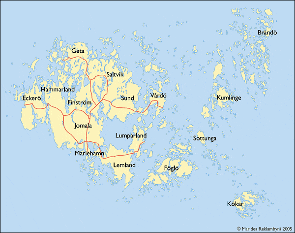
The Åland archipelago includes nearly three hundred habitable islands, of which about eighty are inhabited; the remainder are merely some 6,200 skerries and desolate rocks. The archipelago is connected to Åboland archipelago in the east; the archipelago adjacent to the southwest coast of Finland. Together they form the Archipelago Sea. To the West from Åland is the Sea of Åland and to the North is the Bothnian Sea.
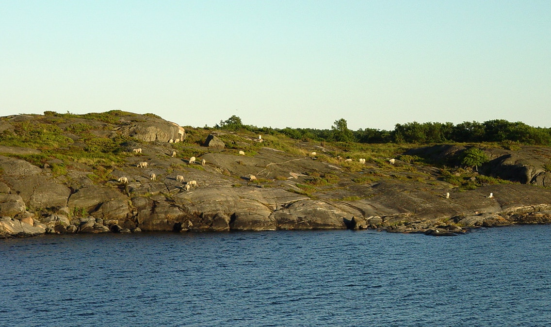
The surface of the islands is generally rocky and the soil thin due to glacial stripping at the end of the most recent ice age. The islands also contain many meadows that are home to many different kinds of insects, such as the Glanville fritillary butterfly. There are several harbors.
The islands’ landmass occupies a total area of 1,527 square kilometers (590 sq mi). Ninety percent of the population live on Fasta Åland, which is also the site of the capital town of Mariehamn. Fasta Åland is the largest island in the archipelago. Its area is difficult to estimate due to its irregular shape and coastline, but estimates range from 740 square kilometers to 879 square kilometers to over 1,010 square kilometers, depending on what is included or excluded.
During the Åland Islands dispute, the parties sought support from different maps of the islands. On the Swedish map, the most densely populated main island dominated, and many skerries were left out. On the Finnish map, many smaller islands or skerries were, for technical reasons, given a slightly exaggerated size. The Swedish map made the islands appear to be closer to the mainland of Sweden than to Finland; the Finnish map stressed the continuity of the archipelago between the main island and mainland Finland, while a greater gap appeared between the islands and the archipelago on the Swedish side. One consequence is the often repeated number of “over 6,000” skerries that was given authority by the outcome of the arbitration.
Economy:
Åland’s economy is heavily dominated by shipping, trade and tourism. Shipping represents about 40% of the economy, with several international carriers owned and operated from Åland. Most companies aside from shipping are small, with fewer than ten employees. Farming and fishing are important in combination with the food industry. A few high-profile technology companies contribute to a prosperous economy. Wind power is rapidly developing, aiming at reversing the direction in the cables to the mainland in coming years. In December 2011, wind power accounted for 31.5% of Åland’s total electricity usage.