
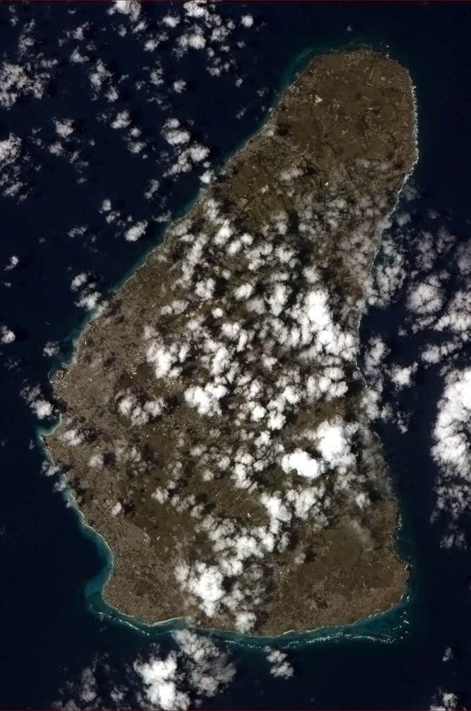
The physical characteristics of Barbados are its lowlands or gently sloping, terraced plains, separated by rolling hills that generally parallel the coasts. Elevations in the interior range from 180 to 240 meters above sea level. Mount Hillaby is the highest point at 340 meters above sea level. Farther south, at Christ Church Ridge, elevations range from sixty to ninety meters. Eighty-five percent of the island’s surface consists of coralline limestone twenty-four to thirty meters thick; Scotland District contains outcroppings of oceanic formations at the surface, however. Sugarcane is planted on almost 80 percent of the island’s limestone surface. The soils vary in fertility; erosion is a problem, with crop loss resulting from landslides, washouts, and falling rocks. Most of the small streams are in Scotland District. The rest of the island has few surface streams; nevertheless, rainwater saturates the soil to produce underground channels such as the famous Coles Cave. Also notable in the island is the rocky cape known as Pico Teneriffe or Pico de Tenerife, which is named after the fact that the island of Tenerife in Spain is the first land east of Barbados according to the belief of the locals.
Economy:
Barbados is the 53rd richest country in the world in terms of GDP (Gross Domestic Product) per capita, has a well-developed mixed economy, and a moderately high standard of living. According to the World Bank, Barbados is classified as being in its 66 top high income economies of the world.
A 2012 self-study in conjunction with the Caribbean Development Bank revealed 20% of Barbadians live in poverty, and nearly 10% cannot meet their basic daily food needs.
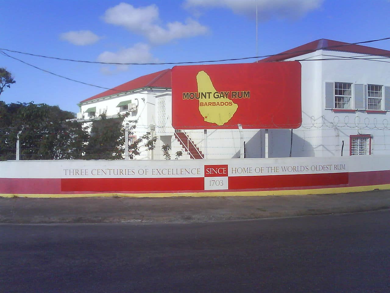
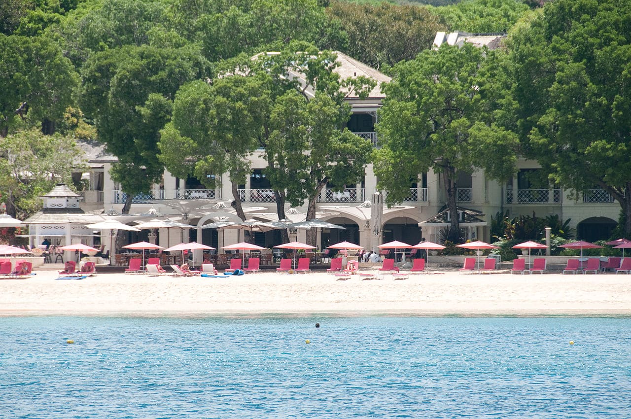
Historically, the economy of Barbados had been dependent on sugarcane cultivation and related activities, but since the late 1970s and early 1980s it has diversified into the manufacturing and tourism sectors. Offshore finance and information services have become important foreign exchange earners, and there is a healthy light manufacturing sector. Since the 1990s the Barbados Government has been seen as business-friendly and economically sound. The island saw a construction boom, with the development and redevelopment of hotels, office complexes, and homes. This slowed during the 2008 to 2011 world economic crisis and the recession.
Traditional trading partners include Canada, the Caribbean Community (especially Trinidad and Tobago), the United Kingdom and the United States.
Transport:
Although Barbados is about 21 miles across at its widest point, a car journey from Six Cross Roads in St. Philip (south-east) to North Point in St. Lucy (north-central) can take one and a half hours or longer due to road conditions. Barbados has half as many registered cars as citizens.

Transport on the island is relatively convenient with “route taxis” called “ZRs” (pronounced “Zed-Rs”) travelling to most points on the island. These small buses can at times be crowded, as passengers are generally never turned down regardless of the number. They will usually take the more scenic routes to destinations. They generally depart from the capital Bridgetown or from Speightstown in the northern part of the island.