
Colonel Mohammed Bacar, a French-trained former gendarme, seized power as President in Anjouan in 2001. He staged a vote in June 2007 to confirm his leadership that was rejected as illegal by the Comoros federal government and the African Union. On 25 March 2008 hundreds of soldiers from the African Union and the Comoros seized rebel-held Anjouan, generally welcomed by the population: there have been reports of hundreds, if not thousands, of people tortured during Bacar’s tenure. Some rebels were killed and injured, but there are no official figures. At least 11 civilians were wounded. Some officials were imprisoned. Bacar fled in a speedboat to the French Indian Ocean territory of Mayotte to seek asylum. Anti-French protests followed in the Comoros.
Since independence from France, the Comoros experienced more than 20 coups or attempted coups.
Following elections in late 2010, former Vice-President Ikililou Dhoinine was inaugurated as President on 26 May 2011. A member of the ruling party, Dhoinine was supported in the election by the incumbent President Ahmed Abdallah Mohamed Sambi. Dhoinine, a pharmacist by training, is the first President of the Comoros from the island of Mohéli. Following the 2016 elections, Azali Assoumani became president for a third term.
Geography:
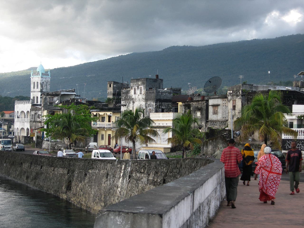
The Comoros is formed by Ngazidja (Grande Comore), Mwali (Mohéli) and Nzwani (Anjouan), three major islands in the Comoros Archipelago, as well as many minor islets. The islands are officially known by their Comorian language names, though international sources still use their French names (given in parentheses above). The capital and largest city, Moroni, is located on Ngazidja. The archipelago is situated in the Indian Ocean, in the Mozambique Channel, between the African coast (nearest to Mozambique and Tanzania) and Madagascar, with no land borders.
At 2,034 km2 (785 sq mi), it is one of the smallest countries in the world. The Comoros also has claim to 320 km2 (120 sq mi) of territorial seas. The interiors of the islands vary from steep mountains to low hills.
Ngazidja is the largest of the Comoros Archipelago, approximately equal in area to the other islands combined. It is also the most recent island, and therefore has rocky soil. The island’s two volcanoes, Karthala (active) and La Grille (dormant), and the lack of good harbours are distinctive characteristics of its terrain. Mwali, with its capital at Fomboni, is the smallest of the four major islands. Nzwani, whose capital is Mutsamudu, has a distinctive triangular shape caused by three mountain chains – Sima, Nioumakélé and Jimilimé – emanating from a central peak, Mount N’Tingui (1,575 m or 5,167 ft).
The islands of the Comoros Archipelago were formed by volcanic activity. Mount Karthala, an active shield volcano located on Ngazidja, is the country’s highest point, at 2,361 metres (7,746 feet). It contains the Comoros’ largest patch of disappearing rainforest. Karthala is currently one of the most active volcanoes in the world, with a minor eruption in May 2006, and prior eruptions as recently as April 2005 and 1991. In the 2005 eruption, which lasted from 17 to 19 April, 40,000 citizens were evacuated, and the crater lake in the volcano’s 3 by 4 kilometres (1.9 by 2.5 miles) caldera was destroyed.