
On 17 December 2011, Kim Jong-il died from a heart attack. His youngest son Kim Jong-un was announced as his successor. In the face of international condemnation, North Korea continued to develop its nuclear arsenal, possibly including a hydrogen bomb and a missile capable of reaching the United States.
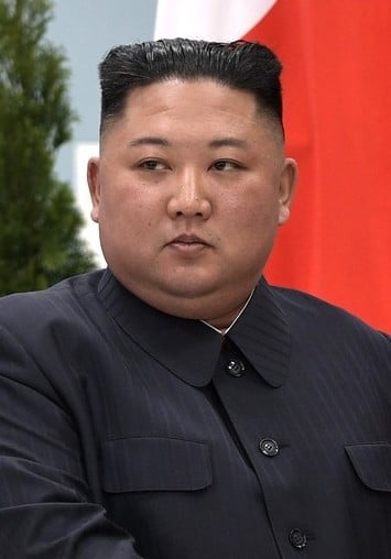
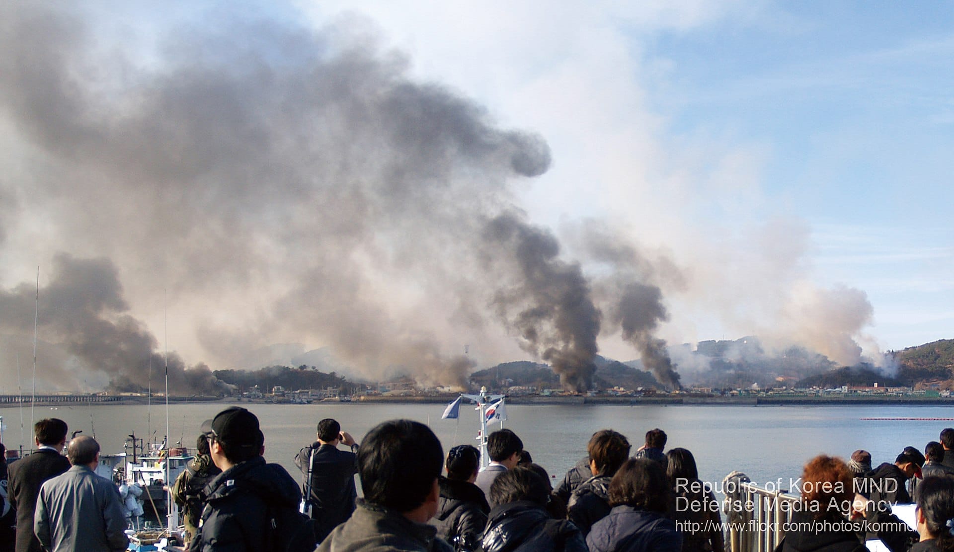
Throughout 2017, following Donald Trump’s assumption of the US presidency, tensions between the United States and North Korea increased, and there was heightened rhetoric between the two, with Trump threatening “fire and fury” and North Korea threatening to test missiles that would land near Guam. The tensions substantially decreased in 2018, and a détente developed. A series of summits took place between Kim Jong-un of North Korea, President Moon Jae-in of South Korea, and President Trump. It has been 2 years, 9 months since North Korea’s last ICBM test.
Geography:
North Korea occupies the northern portion of the Korean Peninsula. It covers an area of 120,540 square kilometres (46,541 sq mi). North Korea is bordered by China and by Russia along the Amnok (known as the Yalu in Chinese) and Tumen rivers and borders South Korea along the Korean Demilitarized Zone. To its west are the Yellow Sea and Korea Bay, and to its east lies Japan across the Sea of Japan (East Sea of Korea).
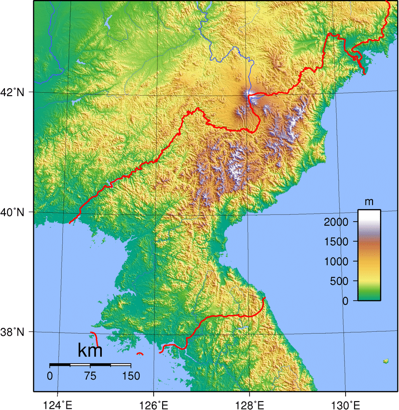
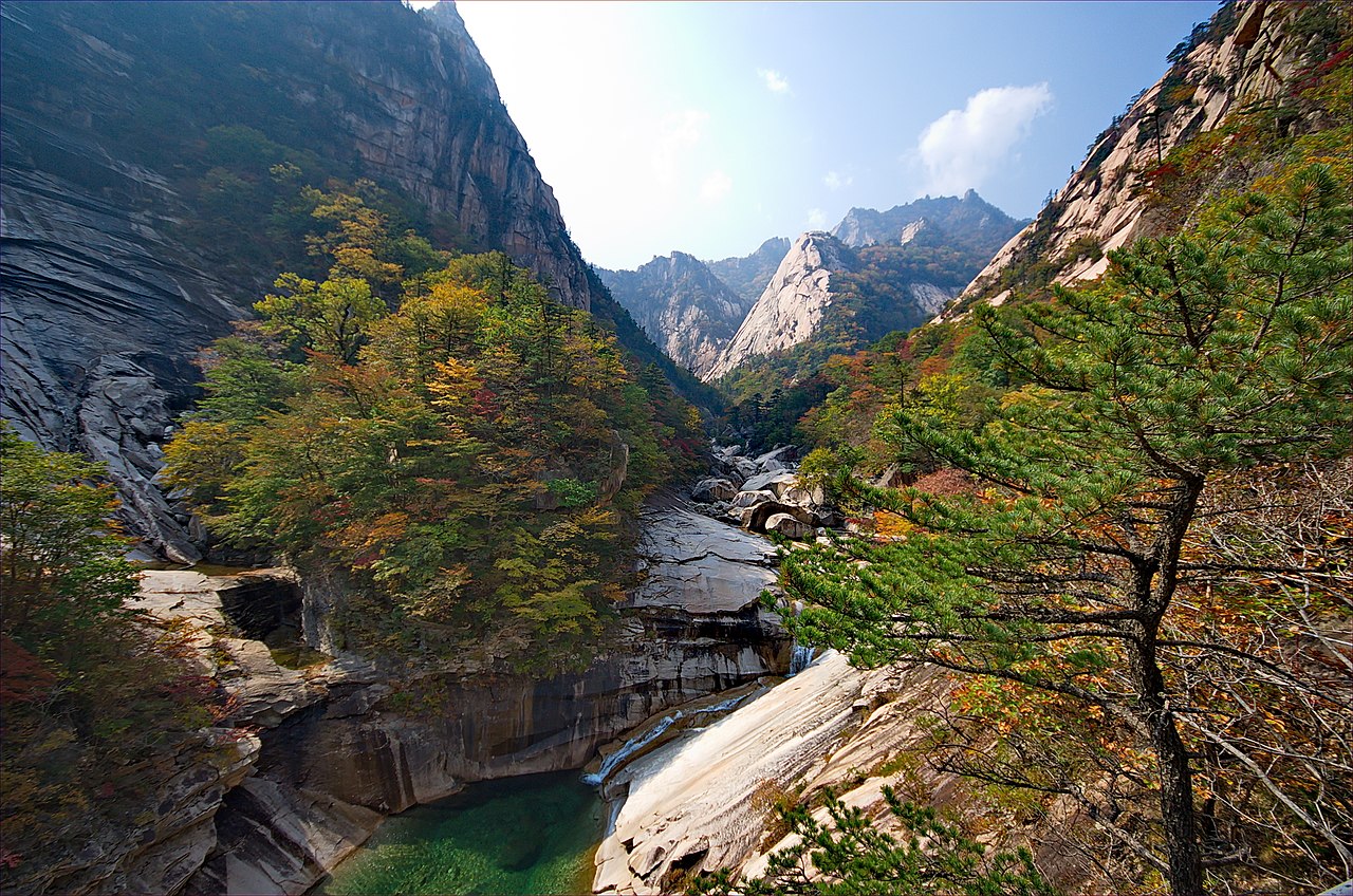
Early European visitors to Korea remarked that the country resembled “a sea in a heavy gale” because of the many successive mountain ranges that crisscross the peninsula. Some 80 percent of North Korea is composed of mountains and uplands, separated by deep and narrow valleys. All of the Korean Peninsula’s mountains with elevations of 2,000 meters (6,600 ft) or more are located in North Korea. The highest point in North Korea is Paektu Mountain, a volcanic mountain with an elevation of 2,744 meters (9,003 ft) above sea level. Considered a sacred place by North Koreans, Mount Paektu holds significance in Korean culture and has been incorporated in the elaborate folklore and cult personality around the Kim dynasty. For example, the song, “We Will Go To Mount Paektu” sings in praise of Kim Jong-un and describes a symbolic trek to the mountain. Other prominent ranges are the Hamgyong Range in the extreme northeast and the Rangrim Mountains, which are located in the north-central part of North Korea. Mount Kumgang in the Taebaek Range, which extends into South Korea, is famous for its scenic beauty.
The coastal plains are wide in the west and discontinuous in the east. A great majority of the population lives in the plains and lowlands. According to a United Nations Environmental Programme report in 2003, forest covers over 70 percent of the country, mostly on steep slopes. The longest river is the Amnok (Yalu) River which flows for 790 kilometers (491 mi).
Economy:
North Korea has maintained one of the most closed and centralized economies in the world since the 1940s. For several decades, it followed the Soviet pattern of five-year plans with the ultimate goal of achieving self-sufficiency. Extensive Soviet and Chinese support allowed North Korea to rapidly recover from the Korean War and register very high growth rates. Systematic inefficiency began to arise around 1960, when the economy shifted from the extensive to the intensive development stage. The shortage of skilled labor, energy, arable land and transportation significantly impeded long-term growth and resulted in consistent failure to meet planning objectives. The major slowdown of the economy contrasted with South Korea, which surpassed the North in terms of absolute GDP and per capita income by the 1980s. North Korea declared the last seven-year plan was unsuccessful in December 1993 and thereafter stopped announcing plans.