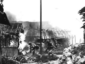
On June 15, 1944, near the end of World War II, the United States military invaded the Mariana Islands, starting the Battle of Saipan, which ended on July 9. Of the 30,000 Japanese troops defending Saipan, fewer than 1,000 remained alive at the battle’s end. Many Japanese civilians were also killed, by disease, starvation, enemy fire, and suicide. Approximately 1,000 civilians committed suicide by jumping off the cliffs at Mt. Marpi or Marpi Point. U.S. forces then recaptured Guam on July 21, and invaded Tinian on July 24; a year later Tinian was the takeoff point for the Enola Gay, the plane that dropped the atomic bomb on Hiroshima. Rota was left untouched (and isolated) until the Japanese surrender in August 1945, owing to its military insignificance.
The war did not end for everyone with the signing of the armistice. The last group of Japanese holdouts surrendered on Saipan on December 1, 1945.
Japanese nationals were eventually repatriated to the Japanese home islands.
United States Possession (UN Trusteeship):
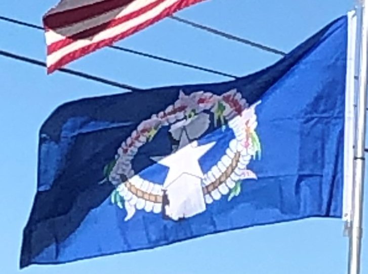
After Japan’s defeat in World War II, the Northern Marianas were administered by the United States pursuant to Security Council Resolution 21 as part of the United Nations Trust Territory of the Pacific Islands, which gave responsibility for defense and foreign affairs to the United States. Four referenda offering integration with Guam or changes to the islands’ status were held in 1958, 1961, 1963 and 1969. On each occasion, a majority voted in favor of integration with Guam, but this did not happen: Guam rejected integration in a 1969 referendum. The people of the Northern Mariana Islands decided in the 1970s not to seek independence, but instead to forge closer links with the United States. Negotiations for commonwealth status began in 1972 and a covenant to establish a commonwealth in political union with the United States was approved in a 1975 referendum. A new government and constitution came into effect in 1978 after being approved in a 1977 referendum. The United Nations approved this arrangement pursuant to Security Council Resolution 683. The commonwealth does not have voting representation in the United States Congress, but, since 2009, has been represented in the U.S. House of Representatives by a delegate who may participate in debate but may not vote on the floor. The commonwealth has no representation in the U.S. Senate.
Geography:
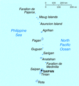
The Northern Mariana Islands, together with Guam to the south, compose the Mariana Islands archipelago. The southern islands are limestone, with level terraces and fringing coral reefs. The northern islands are volcanic, with active volcanoes on several islands, including Anatahan, Pagan, and Agrihan. The volcano on Agrihan has the highest elevation at 3,166 feet.

Anatahan Volcano is a small volcanic island 80 miles north of Saipan. It is about 6 miles long and 2 miles wide. Anatahan began erupting from its east crater on May 10, 2003. It has since alternated between eruptive and calm periods. On April 6, 2005, an estimated 50,000,000 cubic feet of ash and rock were ejected, causing a large, black cloud to drift south over Saipan and Tinian.
