Ohio’s central position and its population gave it an important place during the Civil War. The Ohio River was a vital artery for troop and supply movements, as were Ohio’s railroads. The industry of Ohio made the state one of the most important states in the union during the Civil war.
Economy:
As of 2016, Ohio’s gross domestic product (GDP) was $626 billion. This ranks Ohio’s economy as the seventh-largest of all fifty states and the District of Columbia.
The manufacturing and financial activities sectors each compose 18.3% of Ohio’s GDP, making them Ohio’s largest industries by percentage of GDP. Ohio has the third largest manufacturing workforce behind California and Texas. Ohio has the largest bioscience sector in the Midwest, and is a national leader in the “green” economy. Ohio is the largest producer in the country of plastics, rubber, fabricated metals, electrical equipment, and appliances.
By employment, Ohio’s largest sector is trade/transportation/utilities, which employs 1,010,000 Ohioans, or 19.4% of Ohio’s workforce, while the health care and education sector employs 825,000 Ohioans (15.8%). Government employs 787,000 Ohioans (15.1%), manufacturing employs 669,000 Ohioans (12.9%), and professional and technical services employs 638,000 Ohioans (12.2%). Ohio’s manufacturing sector is the third-largest of all fifty United States states in terms of gross domestic product.
Fifty-nine of the United States’ top 1,000 publicly traded companies (by revenue in 2008) are headquartered in Ohio, including Procter & Gamble, Goodyear Tire & Rubber, AK Steel, Timken, Abercrombie & Fitch, and Wendy’s.

Transportation:
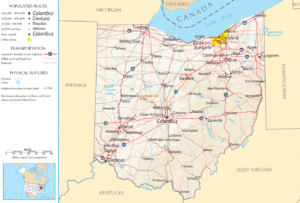
Ohio has a highly developed network of roads and interstate highways. Major east-west through routes include the Ohio Turnpike (I-80/I-90) in the north, I-76 through Akron to Pennsylvania, I-70 through Columbus and Dayton, and the Appalachian Highway (State Route 32) running from West Virginia to Cincinnati. Major north-south routes include I-75 in the west through Toledo, Dayton, and Cincinnati, I-71 through the middle of the state from Cleveland through Columbus and Cincinnati into Kentucky, and I-77 in the eastern part of the state from Cleveland through Akron, Canton, New Philadelphia and Marietta south into West Virginia. Interstate 75 between Cincinnati and Dayton is one of the heaviest traveled sections of interstate in Ohio.

Ohio has several major airports including: Cleveland Hopkins International Airport, John Glenn Columbus International Airport, Dayton International Airport, and Akron Fulton International Airport. Cincinnati/Northern Kentucky International Airport is in Hebron, Kentucky, and therefore is not listed above.
Flag of Ohio:
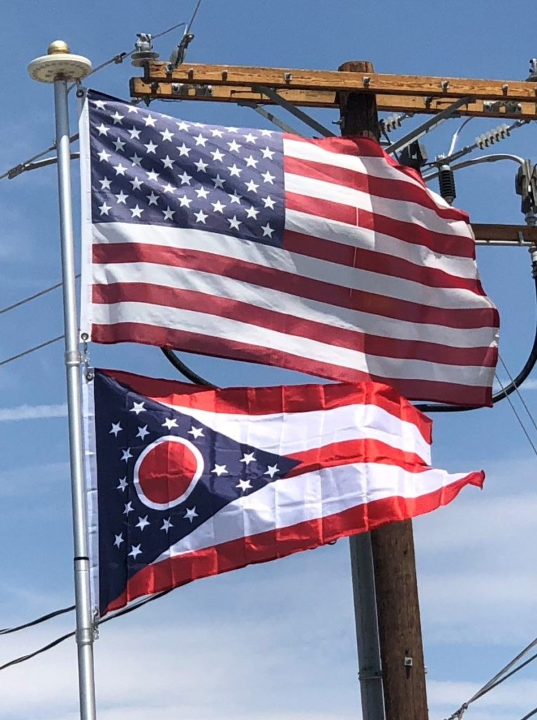
The Ohio Burgee is the official flag of the U.S. state of Ohio. Ohio’s swallowtail flag is the only non-rectangular U.S. state flag. Its red, white, and blue elements symbolize the state’s natural features and order of admission into the Union. A prominent disc in the flag’s triangular canton is suggestive of the state’s name.
The flag was designed in 1901 by John Eisenmann for the Pan-American Exposition and adopted in 1902. Before that, for nearly a century after statehood, Ohio did not have a legally authorized state flag. One unsuccessful proposal called for a design based on the state seal.
