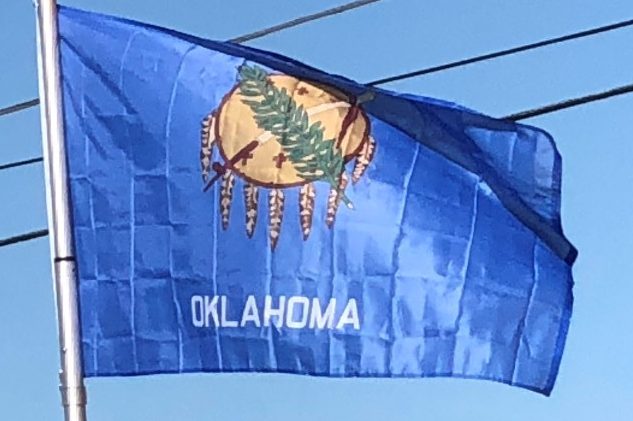
Introduction:
Oklahoma is a state in the South Central region of the United States, bordered by Kansas on the north, Missouri on the northeast, Arkansas on the east, Texas on the south, New Mexico on the west, and Colorado on the northwest.
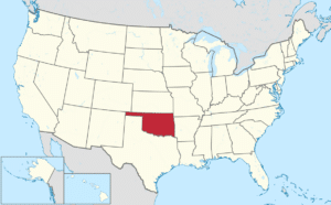
Oklahoma Territory and Indian Territory were merged into the State of Oklahoma when it became the 46th state to enter the union on November 16, 1907. Its residents are known as Oklahomans (or colloquially, “Okies”), and its capital and largest city is Oklahoma City.

A major producer of natural gas, oil, and agricultural products, Oklahoma relies on an economic base of aviation, energy, telecommunications, and biotechnology. Both Oklahoma City and Tulsa serve as Oklahoma’s primary economic anchors, with nearly two thirds of Oklahomans living within their metropolitan statistical areas.
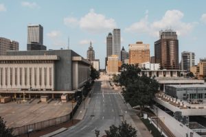
With ancient mountain ranges, prairie, mesas, and eastern forests, most of Oklahoma lies in the Great Plains, Cross Timbers, and the U.S. Interior Highlands, a region prone mainly to severe weather. More than 25 Native American languages are spoken in Oklahoma, ranking third behind Alaska and California.
Oklahoma is on a confluence of three major American cultural regions and historically served as a route for cattle drives, a destination for Southern settlers, and a government-sanctioned territory for Native Americans.
Origin of the Name:
The name Oklahoma comes from the Choctaw phrase okla humma, literally meaning red people. Choctaw Nation Chief Allen Wright suggested the name in 1866 during treaty negotiations with the federal government on the use of Indian Territory, in which he envisioned an all-Indian state controlled by the United States Superintendent of Indian Affairs.
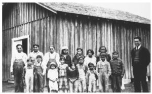
Equivalent to the English word Indian, okla humma was a phrase in the Choctaw language that described Native American people as a whole. Oklahoma later became the de facto name for Oklahoma Territory, and it was officially approved in 1890, two years after the area was opened to white settlers.
Geography:
Oklahoma is the 20th-largest state in the United States. It lies partly in the Great Plains near the geographical center of the 48 contiguous states.
Oklahoma is between the Great Plains and the Ozark Plateau in the Gulf of Mexico watershed, generally sloping from the high plains of its western boundary to the low wetlands of its southeastern boundary. Its highest and lowest points follow this trend, with its highest peak, Black Mesa, at 4,973 feet above sea level, situated near its far northwest corner in the Oklahoma Panhandle.
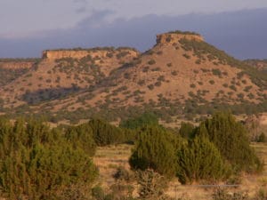
The state’s lowest point is on the Little River near its far southeastern boundary near the town of Idabel, Oklahoma, which dips to 289 feet above sea level.
Among the most geographically diverse states, Oklahoma is one of four to harbor more than 10 distinct ecological regions, with 11 in its borders—more per square mile than in any other state. Its western and eastern halves, however, are marked by extreme differences in geographical diversity: Eastern Oklahoma touches eight ecological regions and its western half contains three. Although having fewer ecological regions Western Oklahoma contains many rare, relic species.
