
Benin shows little variation in elevation and can be divided into four areas from the south to the north, starting with the low-lying, sandy, coastal plain which is, at most, 6.2 miles wide. It is marshy and dotted with lakes and lagoons communicating with the ocean. Behind the coast lies the Guinean forest-savanna mosaic-covered plateaus of southern Benin, which are split by valleys running north to south along the Couffo, Zou, and Ouémé Rivers.
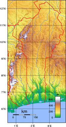
An area of flat land dotted with rocky hills whose altitude seldom reaches 1,312 feet extends around Nikki and Save.
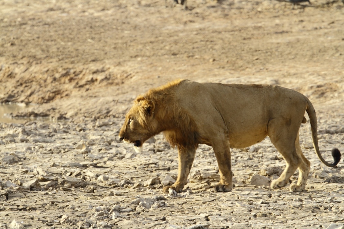
A range of mountains extends along the northwest border and into Togo; these are the Atacora. The highest point, Mont Sokbaro, is at 2,159 feet. Benin has fallow fields, mangroves, and remnants of large sacred forests. In the rest of the country, the savanna is covered with thorny scrub and dotted with huge baobab trees. Some forests line the banks of rivers. In the north and the northwest of Benin, the Reserve du W du Niger and Pendjari National Park attract tourists eager to see elephants, lions, antelopes, hippos, and monkeys. Pendjari National Park together with the bordering Parks Arli and W in Burkina Faso and Niger are among the most important strongholds for the endangered West African lion. With an estimated 356 lions, W-Arli-Pendjari harbors the largest remaining population of lions in West Africa. Historically Benin has served as habitat for the endangered painted hunting dog, Lycaon pictus; however, this canid is thought to have been locally extirpated.
Economy:
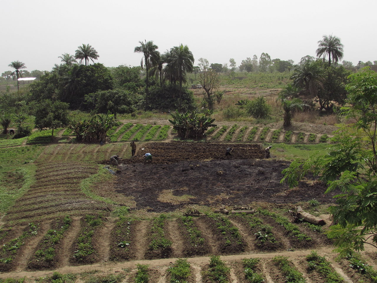
The economy of Benin is dependent on subsistence agriculture, cotton production, and regional trade. Cotton accounts for 40% of the GDP and roughly 80% of official export receipts. Growth in real output has averaged around 5% in the past seven years, but rapid population growth has offset much of this increase. Inflation has subsided over the past several years. Benin uses the CFA franc, which is pegged to the euro.
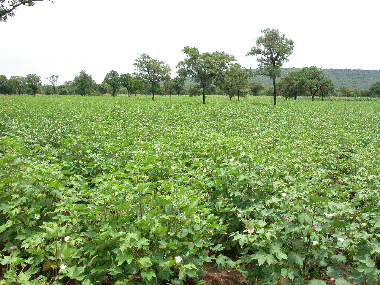
Benin’s economy has continued to strengthen over the past years, with real GDP growth estimated at 5.1 and 5.7% in 2008 and 2009, respectively. The main driver of growth is the agricultural sector, with cotton being the country’s main export, while services continue to contribute the largest part of GDP largely because of Benin’s geographical location, enabling trade, transportation, transit and tourism activities with its neighboring states.
In order to raise growth still further, Benin plans to attract more foreign investment, place more emphasis on tourism, facilitate the development of new food processing systems and agricultural products, and encourage new information and communication technology. Projects to improve the business climate by reforms to the land tenure system, the commercial justice system, and the financial sector were included in Benin’s US$307 million Millennium Challenge Account grant signed in February 2006.
An insufficient electrical supply continues to adversely affect Benin’s economic growth though the government recently has taken steps to increase domestic power production.
Transportation:
Transport in Benin includes road, rail, water and air transportation.