
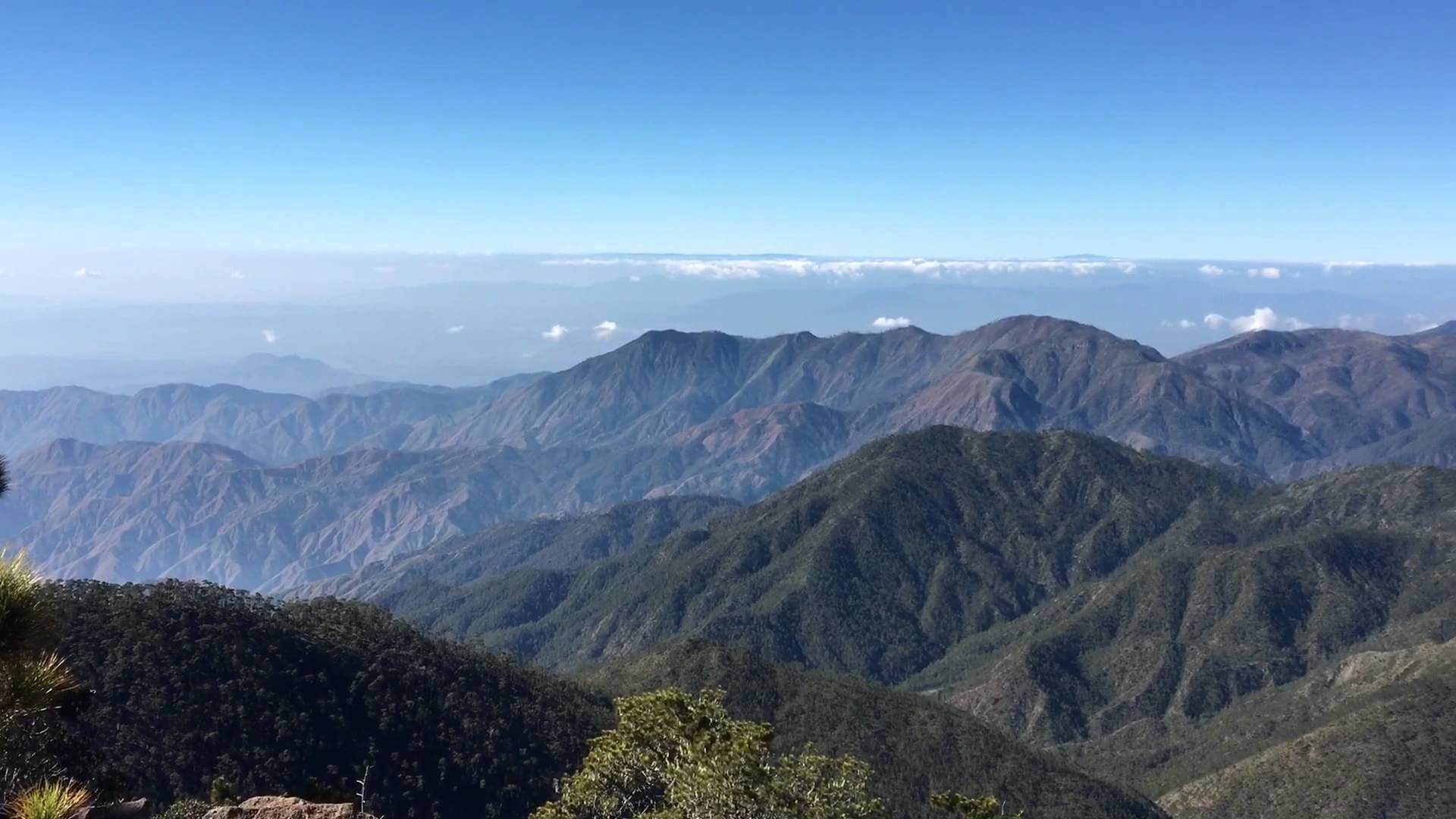
The Dominican Republic has four important mountain ranges. The most northerly is the Cordillera Septentrional (“Northern Mountain Range”), which extends from the northwestern coastal town of Monte Cristi, near the Haitian border, to the Samaná Peninsula in the east, running parallel to the Atlantic coast. The highest range in the Dominican Republic – indeed, in the whole of the West Indies – is the Cordillera Central (“Central Mountain Range”). It gradually bends southwards and finishes near the town of Azua, on the Caribbean coast. In the Cordillera Central are the four highest peaks in the Caribbean: Pico Duarte (3,098 metres or 10,164 feet above sea level), La Pelona (3,094 metres or 10,151 feet), La Rucilla (3,049 metres or 10,003 feet), and Pico Yaque (2,760 metres or 9,055 feet). In the southwest corner of the country, south of the Cordillera Central, there are two other ranges: the more northerly of the two is the Sierra de Neiba, while in the south the Sierra de Bahoruco is a continuation of the Massif de la Selle in Haiti. There are other, minor mountain ranges, such as the Cordillera Oriental (“Eastern Mountain Range”), Sierra Martín García, Sierra de Yamasá, and Sierra de Samaná.
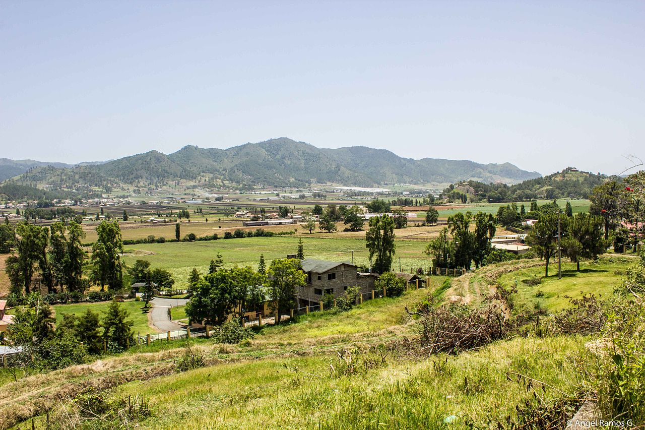
Between the Central and Northern mountain ranges lies the rich and fertile Cibao valley. This major valley is home to the cities of Santiago and La Vega and most of the farming areas of the nation. Rather less productive are the semi-arid San Juan Valley, south of the Central Cordillera, and the Neiba Valley, tucked between the Sierra de Neiba and the Sierra de Bahoruco. Much of the land around the Enriquillo Basin is below sea level, with a hot, arid, desert-like environment. There are other smaller valleys in the mountains, such as the Constanza, Jarabacoa, Villa Altagracia, and Bonao valleys.
The Llano Costero del Caribe (“Caribbean Coastal Plain”) is the largest of the plains in the Dominican Republic. Stretching north and east of Santo Domingo, it contains many sugar plantations in the savannahs that are common there. West of Santo Domingo its width is reduced to 10 kilometres (6.2 mi) as it hugs the coast, finishing at the mouth of the Ocoa River. Another large plain is the Plena de Azua (“Azua Plain”), a very arid region in Azua Province. A few other small coastal plains are on the northern coast and in the Pedernales Peninsula.
Four major rivers drain the numerous mountains of the Dominican Republic. The Yaque del Norte is the longest and most important Dominican river. It carries excess water down from the Cibao Valley and empties into Monte Cristi Bay, in the northwest. Likewise, the Yuna River serves the Vega Real and empties into Samaná Bay, in the northeast. Drainage of the San Juan Valley is provided by the San Juan River, tributary of the Yaque del Sur, which empties into the Caribbean, in the south. The Artibonito is the longest river of Hispaniola and flows westward into Haiti.