
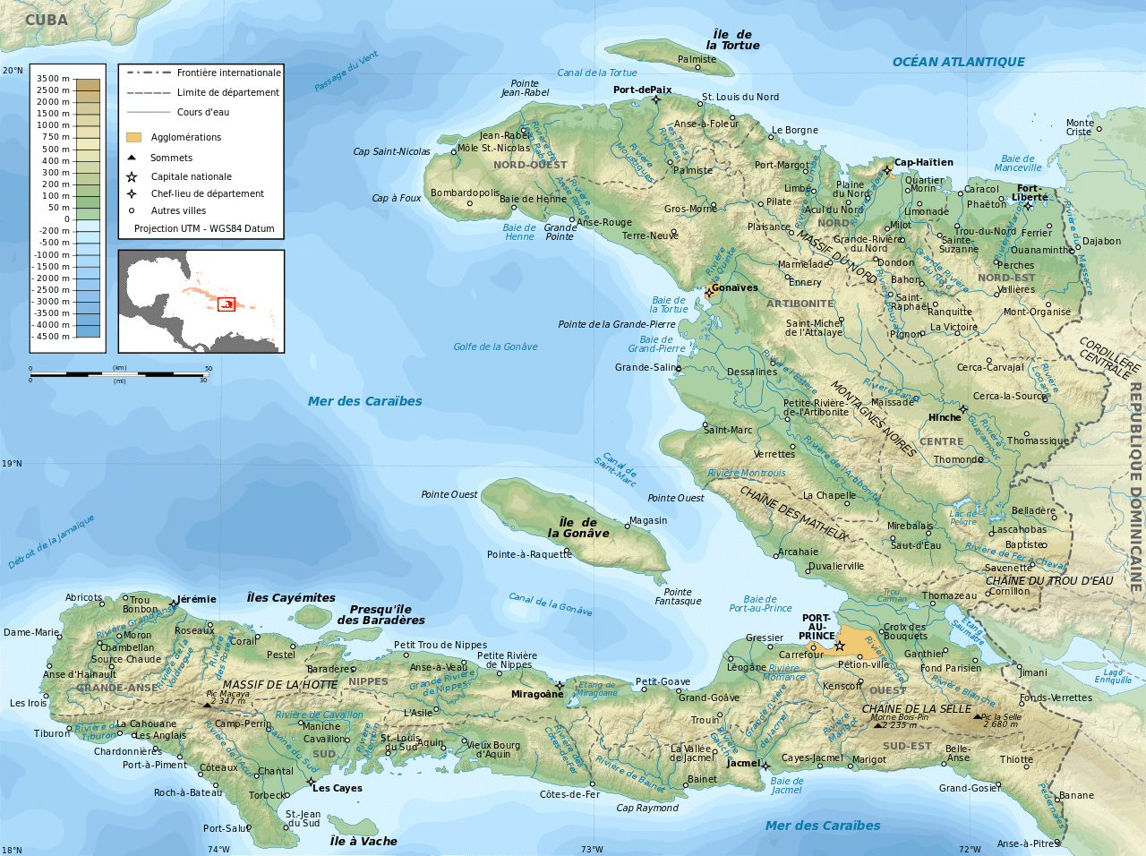
Haiti is the most mountainous nation in the Caribbean, its terrain consists of mountains interspersed with small coastal plains and river valleys. The climate is tropical, with some variation depending on altitude. The highest point is Pic la Selle, at 2,680 metres (8,793 ft).
The northern region consists of the Massif du Nord (Northern Massif) and the Plaine du Nord (Northern Plain). The Massif du Nord is an extension of the Cordillera Central in the Dominican Republic. It begins at Haiti’s eastern border, north of the Guayamouc River, and extends to the northwest through the northern peninsula. The lowlands of the Plaine du Nord lie along the northern border with the Dominican Republic, between the Massif du Nord and the North Atlantic Ocean.
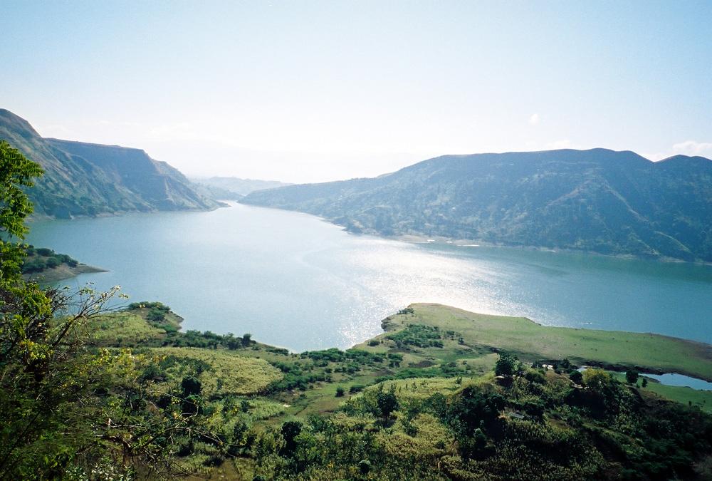
The central region consists of two plains and two sets of mountain ranges. The Plateau Central (Central Plateau) extends along both sides of the Guayamouc River, south of the Massif du Nord. It runs from the southeast to the northwest. To the southwest of the Plateau Central are the Montagnes Noires, whose most northwestern part merges with the Massif du Nord. Haiti’s most important valley in terms of crops is the Plaine de l’Artibonite, which lies between the Montagnes Noires and the Chaîne des Matheux. This region supports the country’s (also Hispaniola’s) longest river, the Riviere l’Artibonite, which begins in the western region of the Dominican Republic and continues for most of its length through central Haiti, where it then empties into the Golfe de la Gonâve. Also in this valley lies Haiti’s second largest lake, Lac de Péligre, formed as a result of the construction of the Péligre Dam in the mid-1950s.
The southern region consists of the Plaine du Cul-de-Sac (the southeast) and the mountainous southern peninsula (also known as the Tiburon Peninsula). The Plaine du Cul-de-Sac is a natural depression that harbors the country’s saline lakes, such as Trou Caïman and Haiti’s largest lake, Étang Saumatre. The Chaîne de la Selle mountain range – an extension of the southern mountain chain of the Dominican Republic (the Sierra de Baoruco) – extends from the Massif de la Selle in the east to the Massif de la Hotte in the west.
Haiti also includes several offshore islands. The island of Tortuga (Île de la Tortue) is located off the coast of northern Haiti. The arrondissement of La Gonâve is located on the island of the same name, in the Golfe de la Gonâve; Haiti’s largest island, Gonâve is moderately populated by rural villagers. Île à Vache (Cow Island) is located off the southwest coast; also part of Haiti are the Cayemites, located in the Gulf of Gonâve north of Pestel. La Navasse (Navassa Island), located 40 nautical miles (46 mi; 74 km) west of Jérémie on the south west peninsula of Haiti, is subject to an ongoing territorial dispute with the United States, who currently administer the island via the United States Fish and Wildlife Service.
Economy:
Haiti has a predominantly free market economy, with a GDP of $19.97 billion and per capita GDP of $1,800 (2017 estimates). The country uses the Haitian gourde as its currency. Despite its tourism industry, Haiti is one of the poorest countries in the Americas, with poverty, corruption, political instability, poor infrastructure, lack of health care and lack of education cited as the main causes. Unemployment is high and many Haitians seek to emigrate. Trade declined dramatically after the 2010 earthquake and subsequent outbreak of cholera. Haiti ranked 145 of 182 countries in the 2010 United Nations Human Development Index, with 57.3% of the population being deprived in at least three of the HDI’s poverty measures.