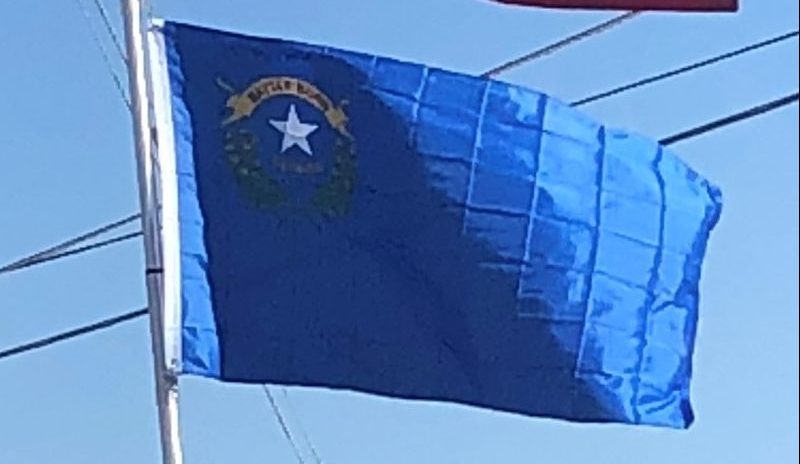
Introduction:
Nevada is a state in the Western, Mountain West, and Southwestern regions of the United States. It borders Oregon to the northwest, Idaho to the northeast, California to the west, Arizona to the southeast, and Utah to the east.
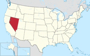
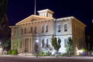
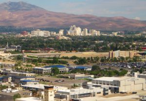
Nearly three-quarters of Nevada’s people live in Clark County, which contains the Las Vegas–Paradise metropolitan area where three of the state’s four largest incorporated cities are located. Nevada’s capital, however, is Carson City.
Nevada is largely desert and semi-arid, much of it within the Great Basin. Areas south of the Great Basin are within the Mojave Desert, while Lake Tahoe and the Sierra Nevada lie on the western edge. About 86% of the state’s land is managed by various jurisdictions of the U.S. federal government, both civilian and military.
Nevada has a reputation for its libertarian laws. In 1940, with a population of just over 110,000 people, Nevada was by far the least-populated state, with less than half the population of the next least-populated state. However, legalized gambling and lenient marriage and divorce laws transformed Nevada into a major tourist destination in the 20th century. Nevada is the only U.S. state where prostitution is legal, though it is illegal in Clark County (Las Vegas), Washoe County (Reno) and Carson City, which, as an independent city, is not within the boundaries of any county. The tourism industry remains Nevada’s largest employer, with mining continuing as a substantial sector of the economy: Nevada is the fourth-largest producer of gold in the world.
Origin of the Name:
The name “Nevada” comes from the Spanish nevada, meaning “snow-covered”, after the Sierra Nevada (“snow-covered mountains”).
Geography:
Nevada is almost entirely within the Basin and Range Province, and is broken up by many north-south mountain ranges. Most of these ranges have endorheic valleys between them, which belies the image portrayed by the term Great Basin.
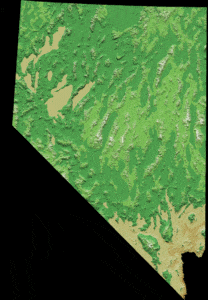
Much of the northern part of the state is within the Great Basin, a mild desert that experiences hot temperatures in the summer and cold temperatures in the winter. Occasionally, moisture from the Arizona Monsoon will cause summer thunderstorms; Pacific storms may blanket the area with snow. The state’s highest recorded temperature was 125 °F in Laughlin on June 29, 1994. The coldest recorded temperature was −52 °F set in San Jacinto in 1972, in the northeastern portion of the state.
The Humboldt River crosses the state from east to west across the northern part of the state, draining into the Humboldt Sink near Lovelock. Several rivers drain from the Sierra Nevada eastward, including the Walker, Truckee, and Carson rivers. All of these rivers are endorheic basins, ending in Walker Lake, Pyramid Lake, and the Carson Sink, respectively. However, not all of Nevada is within the Great Basin. Tributaries of the Snake River drain the far north, while the Colorado River, which also forms much of the boundary with Arizona, drains much of southern Nevada.
