
Introduction:
Prince Edward Island is a province of Canada and one of the three Maritime Provinces. It is the smallest province of Canada in both land area and population, but it is the most densely populated. Part of the traditional lands of the Mi’kmaq, it became a British colony in the 1700s and was federated into Canada as a province in 1873. Its capital is Charlottetown. According to Statistics Canada, the province of PEI has 155,318 residents.
The backbone of the Island economy is farming; it produces 25% of Canada’s potatoes. Other important industries include the fisheries, tourism, aerospace, bio-science, IT, and renewable energy.
The island has several informal names: “Garden of the Gulf”, referring to the pastoral scenery and lush agricultural lands throughout the province; and “Birthplace of Confederation” or “Cradle of Confederation”, referring to the Charlottetown Conference in 1864, although PEI did not join Confederation until 1873, when it became the seventh Canadian province. Historically, PEI is one of Canada’s older settlements and demographically still reflects older immigration to the country, with Scottish, Irish, English and French surnames being dominant to this day.
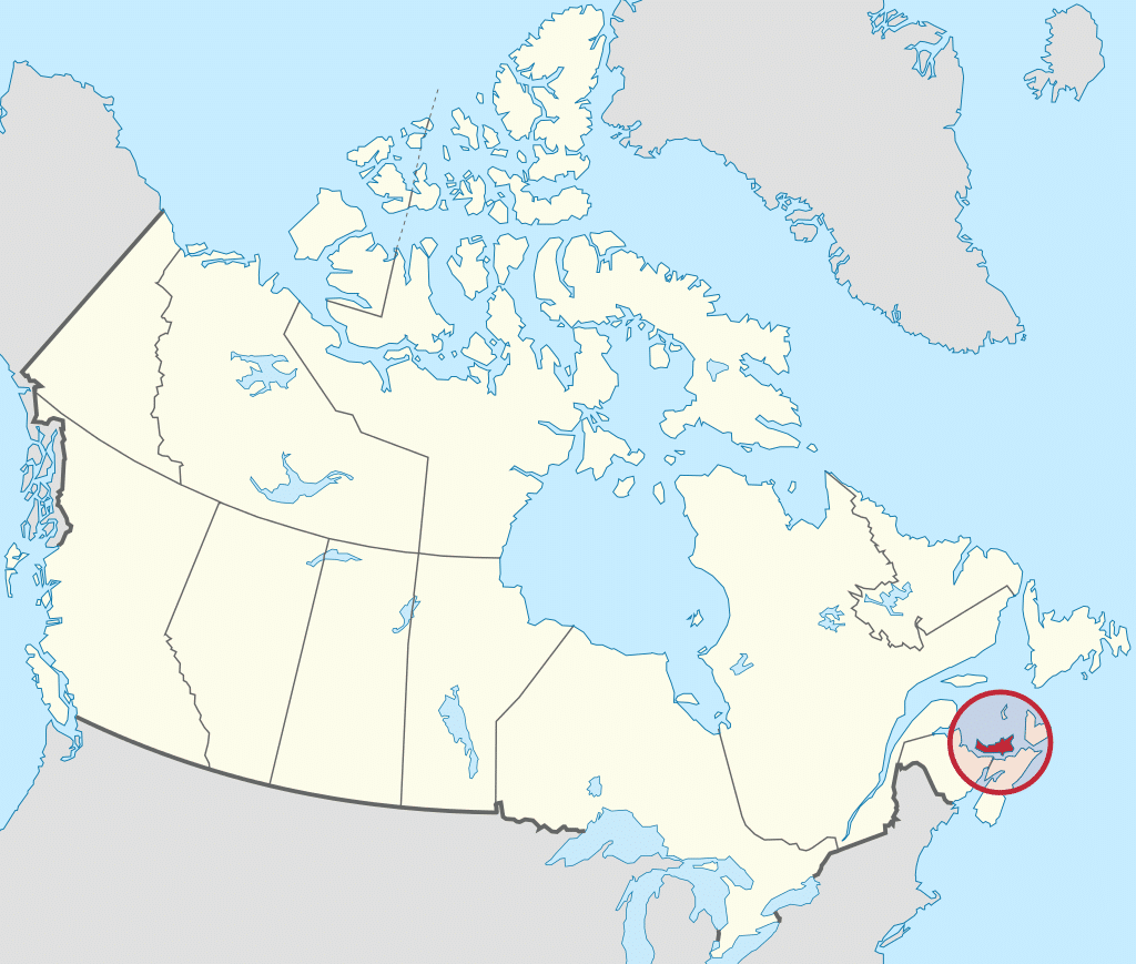
PEI is located about 120 miles north of Halifax, Nova Scotia, and 370 miles east of Quebec City and has a land area of 2,195.39 square miles. The main island is 2,170 square miles in size. It is the 104th-largest island in the world and Canada’s 23rd-largest island.
Etymology:
In 1798, the British named the island colony for Prince Edward, Duke of Kent and Strathearn, the fourth son of King George III and the father of Queen Victoria. Prince Edward has been called “Father of the Canadian Crown”. The following island landmarks are also named after the Duke of Kent:
- Prince Edward Battery, Victoria Park, Charlottetown
- Kent College, established in 1804 by Lieutenant Governor Edmund Fanning and his Legislative Council, the college would eventually become the University of Prince Edward Island
- Kent Street, Charlottetown
- West Kent Elementary School
- Kent Street, Georgetown
In French, the island is today called Île-du-Prince-Édouard, but its former French name, as part of Acadia, was Île Saint-Jean (St. John’s Island). The island is known in Scottish Gaelic as Eilean a’ Phrionnsa (lit. “the Island of the Prince”, the local form of the longer ‘Eilean a’ Phrionnsa Iomhair/Eideard’) or Eilean Eòin for some Gaelic speakers in Nova Scotia though not on PEI (lit. “John’s Island” in reference to the island’s former name). The island is known in the Mi’kmaq language as Abegweit or Epekwitk roughly translated as “land cradled in the waves”.
Geography:
Prince Edward Island is located in the Gulf of St. Lawrence, west of Cape Breton Island, north of the Nova Scotia peninsula, and east of New Brunswick. Its southern shore bounds the Northumberland Strait. The island has two urban areas. The larger surrounds Charlottetown Harbour, situated centrally on the island’s southern shore, and consists of the capital city Charlottetown, and suburban towns Cornwall and Stratford and a developing urban fringe. A much smaller urban area surrounds Summerside Harbour, situated on the southern shore 25 miles west of Charlottetown Harbour, and consists primarily of the city of Summerside. As with all natural harbours on the island, Charlottetown and Summerside harbours are created by rias.