
Introduction:
Saint Helena is a British possession located in the South Atlantic Ocean. It is a remote volcanic tropical island lying some 1,950 kilometers (1,210 mi) west of the coast of southwestern Africa, and 4,000 kilometers (2,500 mi) east of Rio de Janeiro on the South American coast. It is one of three constituent parts of the British Overseas Territory of Saint Helena, Ascension and Tristan da Cunha.
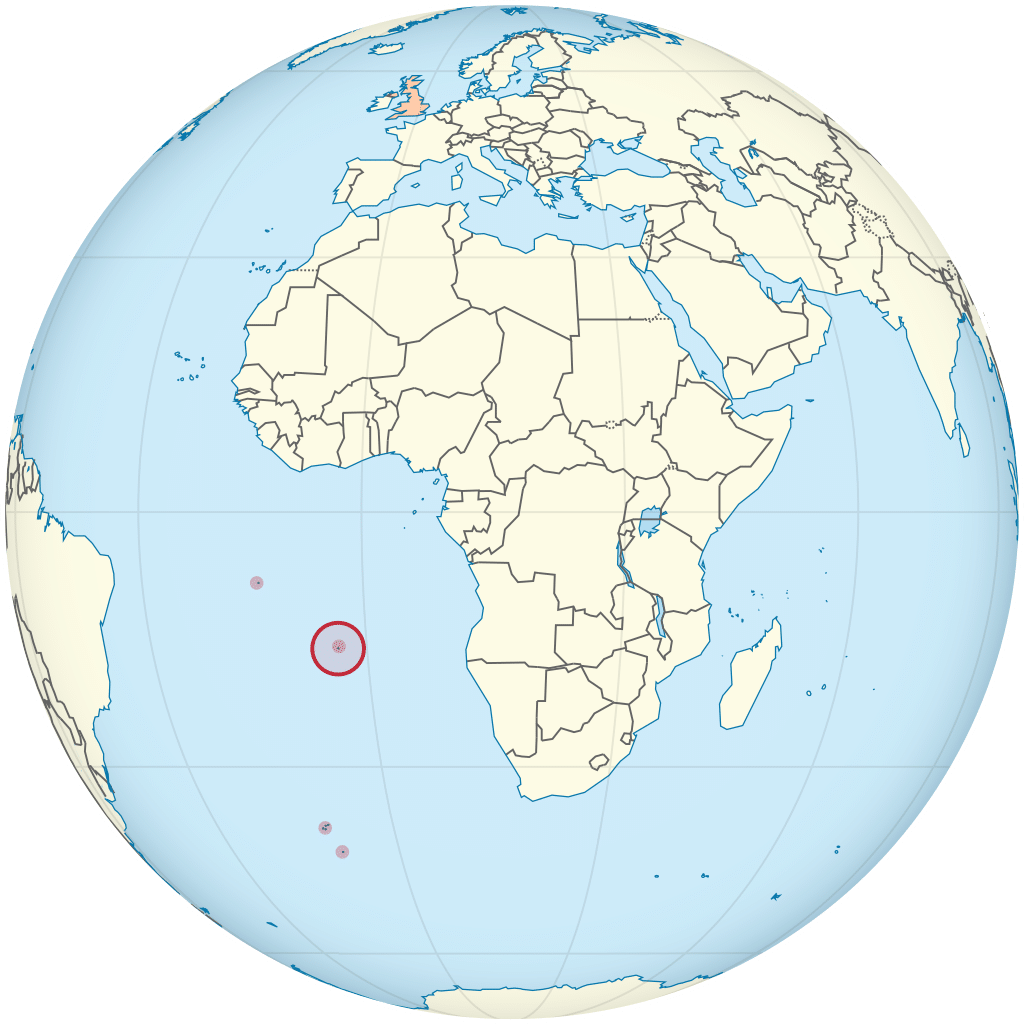
Saint Helena measures about 16 by 8 kilometers (10 by 5 mi) and has a population of 4,534 (2016 census). It was named after Saint Helena of Constantinople. It is one of the most remote islands in the world and was uninhabited when discovered by the Portuguese in 1502. For centuries it was an important stopover for ships sailing to Europe from Asia and Southern Africa. Saint Helena is the United Kingdom’s second-oldest overseas territory after Bermuda. It is perhaps best known for being the site Napoleon was exiled to after his final defeat in 1815.
History:
Early history (1502–1658):
Most historical accounts state that the island was sighted on 21 May 1502 by Galician navigator João da Nova sailing in the service of Portugal, and that he named it Santa Helena after Saint Helena of Constantinople. A paper published in 2015 observes that 21 May is probably a Protestant rather than a Catholic or Orthodox feast day, and the date was first quoted in 1596 by Jan Huyghen van Linschoten, who was probably mistaken because the island was discovered several decades before the Reformation and the start of Protestantism. An alternative discovery date of 3 May is suggested as being historically more credible; it is the Catholic feast day of the finding of the True Cross by Saint Helena in Jerusalem, and cited by Odoardo Duarte Lopes and Sir Thomas Herbert.
When Linschoten arrived on 12 May 1589 he reported seeing carvings made by visiting seamen on a fig tree that were dated as early as 1510.The Portuguese probably planted saplings rather than mature trees, and for these to be sufficiently large by 1510 to carry carvings suggests the plants were shipped to the island and planted there some years earlier, possibly within a few years of discovery.
_-_Autor_desconhecido_(cropped2).png "Saint Helena 4")