Introduction:
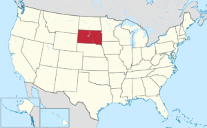
South Dakota is a U.S. state in the Midwestern region of the United States.
It is named after the Lakota and Dakota Sioux Native American tribes, who compose a large portion of the population and historically dominated the territory. As the southern part of the former Dakota Territory, South Dakota became the 40th state on November 2, 1889, immediately following North Dakota. Pierre is the state capital and Sioux Falls, with a population of about 183,200, is South Dakota’s largest city.

South Dakota is bordered by the states of North Dakota to the north, Minnesota to the east, Iowa to the southeast, Nebraska to the south, Wyoming to the west, and Montana to the northwest. The state is bisected by the Missouri River, dividing South Dakota into two geographically and socially distinct halves, known to residents as “East River” and “West River”.
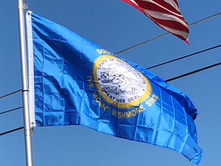
Eastern South Dakota is home to most of the state’s population, and the area’s fertile soil is used to grow a variety of crops. West of the Missouri, ranching is the predominant agricultural activity, and the economy is more dependent on tourism and defense spending. Most of the Native American reservations are in West River. The Black Hills, a group of low pine-covered mountains sacred to the Sioux, are in the southwest part of the state. Mount Rushmore, a major tourist destination, is there.
Geography:
South Dakota is in the north-central United States, and is considered a part of the Midwest by the U.S. Census Bureau; it is also part of the Great Plains region. The culture, economy, and geography of western South Dakota have more in common with the West than the Midwest.
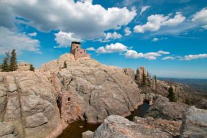
Black Elk Peak, formerly named Harney Peak, with an elevation of 7,242 feet is the state’s highest point, while the shoreline of Big Stone Lake is the lowest, with an elevation of 966 feet.

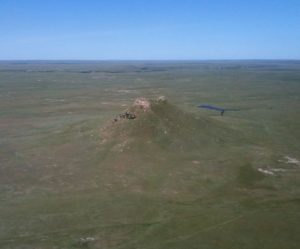
The geographical center of the U.S. is 17 miles west of Castle Rock in Butte County. The North American continental pole of inaccessibility is between Allen and Kyle, 1,024 miles from the nearest coastline.
The Missouri River is the largest and longest river in the state. Other major South Dakota rivers include the Cheyenne, James, Big Sioux, and White Rivers. Eastern South Dakota has many natural lakes, mostly created by periods of glaciation. Additionally, dams on the Missouri River create four large reservoirs: Lake Oahe, Lake Sharpe, Lake Francis Case, and Lewis and Clark Lake.
South Dakota can generally be divided into three regions: eastern South Dakota, western South Dakota, and the Black Hills. The Missouri River serves as a boundary in terms of geographic, social, and political differences between eastern and western South Dakota.

The geography of the Black Hills, long considered sacred by Native Americans, differs from its surroundings to such an extent it can be considered separate from the rest of western South Dakota. At times the Black Hills are combined with the rest of western South Dakota, and people often refer to the resulting two regions divided by the Missouri River as West River and East River.
