
According to Alberta Economic Development, Calgary and Edmonton both host over four million visitors annually. Banff, Jasper and the Rocky Mountains are visited by about three million people per year. Alberta tourism relies heavily on Southern Ontario tourists, as well as tourists from other parts of Canada, the United States, and many other countries.
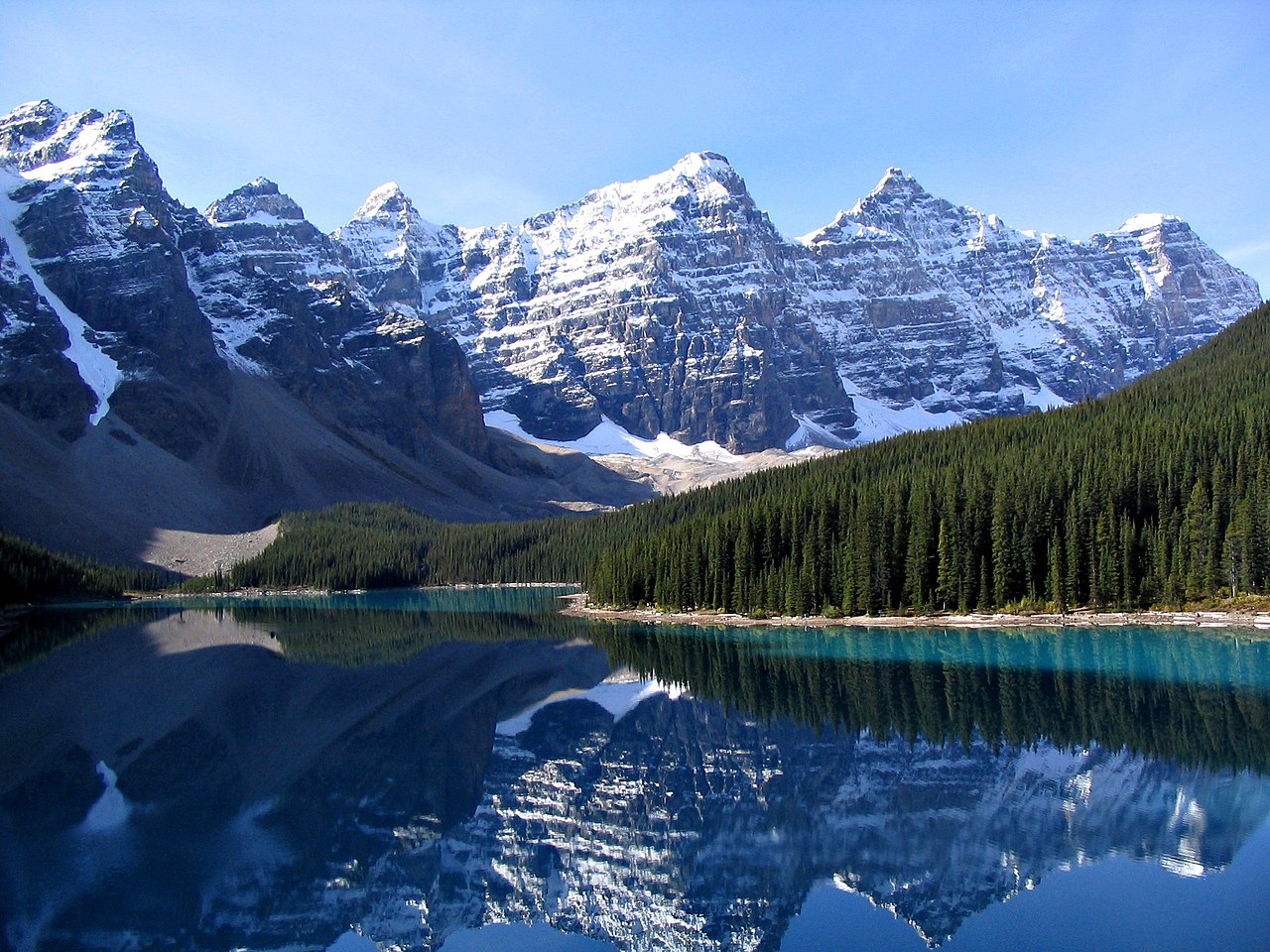
Alberta’s Rockies include well-known tourist destinations Banff National Park and Jasper National Park. The two mountain parks are connected by the scenic Icefields Parkway. Banff is located 80 miles west of Calgary on Highway 1, and Jasper is located 227 miles west of Edmonton on Yellowhead Highway. Five of Canada’s fourteen UNESCO World Heritage sites are located within the province: Canadian Rocky Mountain Parks, Waterton-Glacier International Peace Park, Wood Buffalo National Park, Dinosaur Provincial Park and Head-Smashed-In Buffalo Jump.
About 1.2 million people visit the Calgary Stampede, a celebration of Canada’s own Wild West and the cattle ranching industry. About 700,000 people enjoy Edmonton’s K-Days (formerly Klondike Days and Capital EX). Edmonton was the gateway to the only all-Canadian route to the Yukon gold fields, and the only route which did not require gold-seekers to travel the exhausting and dangerous Chilkoot Pass.
Another tourist destination that draws more than 650,000 visitors each year is the Drumheller Valley, located northeast of Calgary. Drumheller, “Dinosaur Capital of The World”, offers the Royal Tyrrell Museum of Palaeontology. Drumheller also had a rich mining history being one of Western Canada’s largest coal producers during the war years.
Located in east-central Alberta is Alberta Prairie Railway Excursions, a popular tourist attraction operated out of Stettler, that offers train excursions into the prairie and caters to tens of thousands of visitors every year.
Alberta has numerous ski resorts most notably Sunshine Village, Lake Louise, Marmot Basin, Norquay and Nakiska.
Transportation:
Road:
Alberta has over 112,000 miles of highways and roads, of which nearly 25,000 miles are paved. The main north-south corridor is Highway 2, which begins south of Cardston at the Carway border crossing and is part of the CANAMEX Corridor. Highway 4, which effectively extends Interstate 15 into Alberta and is the busiest U.S. gateway to the province, begins at the Coutts border crossing and ends at Lethbridge. Highway 3 joins Lethbridge to Fort Macleod and links Highway 2 to Highway 4. Highway 2 travels north through Fort Macleod, Calgary, Red Deer, and Edmonton.
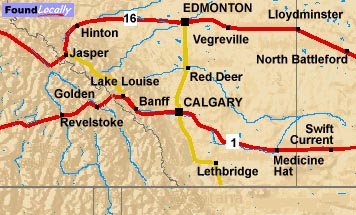
North of Edmonton, the highway continues to Athabasca, then northwesterly along the south shore of Lesser Slave Lake into High Prairie, north to Peace River, west to Fairview and finally south to Grande Prairie, where it ends at an interchange with Highway 43. The section of Highway 2 between Calgary and Edmonton has been named the Queen Elizabeth II Highway to commemorate the visit of the monarch in 2005. Highway 2 is supplemented by two more highways that run parallel to it: Highway 22, west of Highway 2, known as Cowboy Trail, and Highway 21, east of Highway 2. Highway 43 travels northwest into Grande Prairie and the Peace River Country; Highway 63 travels northeast to Fort McMurray, the location of the Athabasca oil sands.