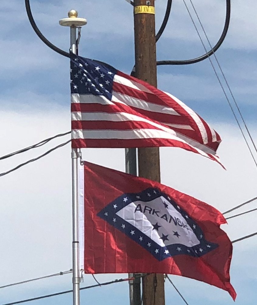
Introduction:
Arkansas is a state in the southeastern region of the United States, home to over 3 million people as of 2017. The state’s diverse geography ranges from the mountainous regions of the Ozark and the Ouachita Mountains, which make up the U.S. Interior Highlands, to the densely forested land in the south known as the Arkansas Timberlands, to the eastern lowlands along the Mississippi River and the Arkansas Delta.
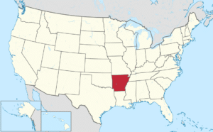
Arkansas is the 29th largest by area and the 33rd most populous of the 50 United States. The capital and most populous city is Little Rock, located in the central portion of the state, a hub for transportation, business, culture, and government.
Origin of the Name:
The name Arkansas was initially applied to the Arkansas River and derives from a French term, Arcansas, the plural term for Quapaws, a Dhegiha Siouan-speaking Native American people who settled in Arkansas around the 13th century. This comes from an Algonquian term, for the Quapaws, and is likely also the root term for Kansas.
The name has been pronounced and spelled in a variety of fashions. In 1881, the pronunciation of Arkansas with the final “s” being silent was made official by an act of the state legislature after a dispute arose between Arkansas’s two U.S. senators as one favored the pronunciation as AR-kən-saw while the other favored ar-KAN-zəs.
In 2007, the state legislature passed a non-binding resolution declaring that the possessive form of the state’s name is Arkansas’s, which has been followed increasingly by the state government.
Geography:
Arkansas borders Louisiana to the south, Texas to the southwest, Oklahoma to the west, Missouri to the north, and Tennessee and Mississippi to the east. The Mississippi River forms most of Arkansas’s eastern border, except in Clay and Greene, counties where the St. Francis River forms the western boundary of the Missouri Bootheel, and in many places where the channel of the Mississippi has meandered (or been straightened by man) from its original 1836 course.
Arkansas can generally be split into two halves, the highlands in the northwest half and the lowlands of the southeastern half. The highlands are part of the Southern Interior Highlands, including The Ozarks and the Ouachita Mountains.
The southern lowlands include the Gulf Coastal Plain and the Arkansas Delta.
The southeastern part of Arkansas along the Mississippi Alluvial Plain is sometimes called the Arkansas Delta.
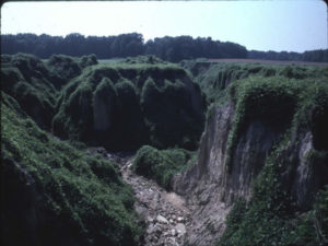
This region is a flat landscape of rich alluvial soils formed by repeated flooding of the adjacent Mississippi. Farther away from the river, in the southeast portion of the state, the Grand Prairie consists of a more undulating landscape. Both are fertile agricultural areas. The Delta region is bisected by a geological formation known as Crowley’s Ridge. A narrow band of rolling hills, Crowley’s Ridge rises from 250 to 500 feet above the surrounding alluvial plain.
Northwest Arkansas is part of the Ozark Plateau including the Ozark Mountains, to the south are the Ouachita Mountains, and these regions are divided by the Arkansas River. These mountain ranges are part of the U.S. Interior Highlands region, the only major mountainous region between the Rocky Mountains and the Appalachian Mountains. The highest point in the state is Mount Magazine in the Ouachita Mountains, which rises to 2,753 feet above sea level.
