
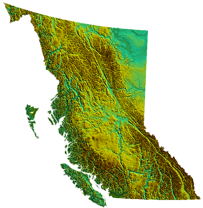
The Coast Mountains and the Inside Passage’s many inlets provide some of British Columbia’s renowned and spectacular scenery, which forms the backdrop and context for a growing outdoor adventure and ecotourism industry. 75% of the province is mountainous (3,300 feet) above sea level); 60% is forested; and only about 5% is arable.
The province’s mainland away from the coastal regions is somewhat moderated by the Pacific Ocean. Terrain ranges from dry inland forests and semi-arid valleys, to the range and canyon districts of the Central and Southern Interior, to boreal forest and subarctic prairie in the Northern Interior. High mountain regions both north and south have subalpine flora and subalpine climate.
The Okanagan area, extending from Vernon to Osoyoos at the United States border, is one of several wine and cider-producing regions in Canada. Other wine regions in British Columbia include the Cowichan Valley on Vancouver Island and the Fraser Valley.
The Southern Interior cities of Kamloops and Penticton have some of the warmest and longest summer climates in Canada (while higher elevations are cold and snowy), although their temperatures are often exceeded north of the Fraser Canyon, close to the confluence of the Fraser and Thompson rivers, where the terrain is rugged and covered with desert-type flora. Semi-desert grassland is found in large areas of the Interior Plateau, with land uses ranging from ranching at lower altitudes to forestry at higher ones.
The northern, mostly mountainous, two-thirds of the province is largely unpopulated and undeveloped, except for the area east of the Rockies, where the Peace River Country contains BC’s portion of the Canadian Prairies, centered at the city of Dawson Creek.
British Columbia is considered part of the Pacific Northwest and the Cascadia bioregion, along with the American states of Alaska, Idaho, Montana (western portion), Oregon and Washington.
Economy:
BC’s economy is diverse, with service-producing industries accounting for the largest portion of the province’s GDP. It is the terminus of two transcontinental railways, and the site of 27 major marine cargo and passenger terminals. Though less than 5% of its vast 364,764 square mile land is arable, the province is agriculturally rich (particularly in the Fraser and Okanagan valleys), because of milder weather near the coast and in certain sheltered southern valleys. Its climate encourages outdoor recreation and tourism, though its economic mainstay has long been resource extraction, principally logging, farming, and mining. Vancouver, the province’s largest city, serves as the headquarters of many western-based natural resource companies. It also benefits from a strong housing market and a per capita income well above the national average.
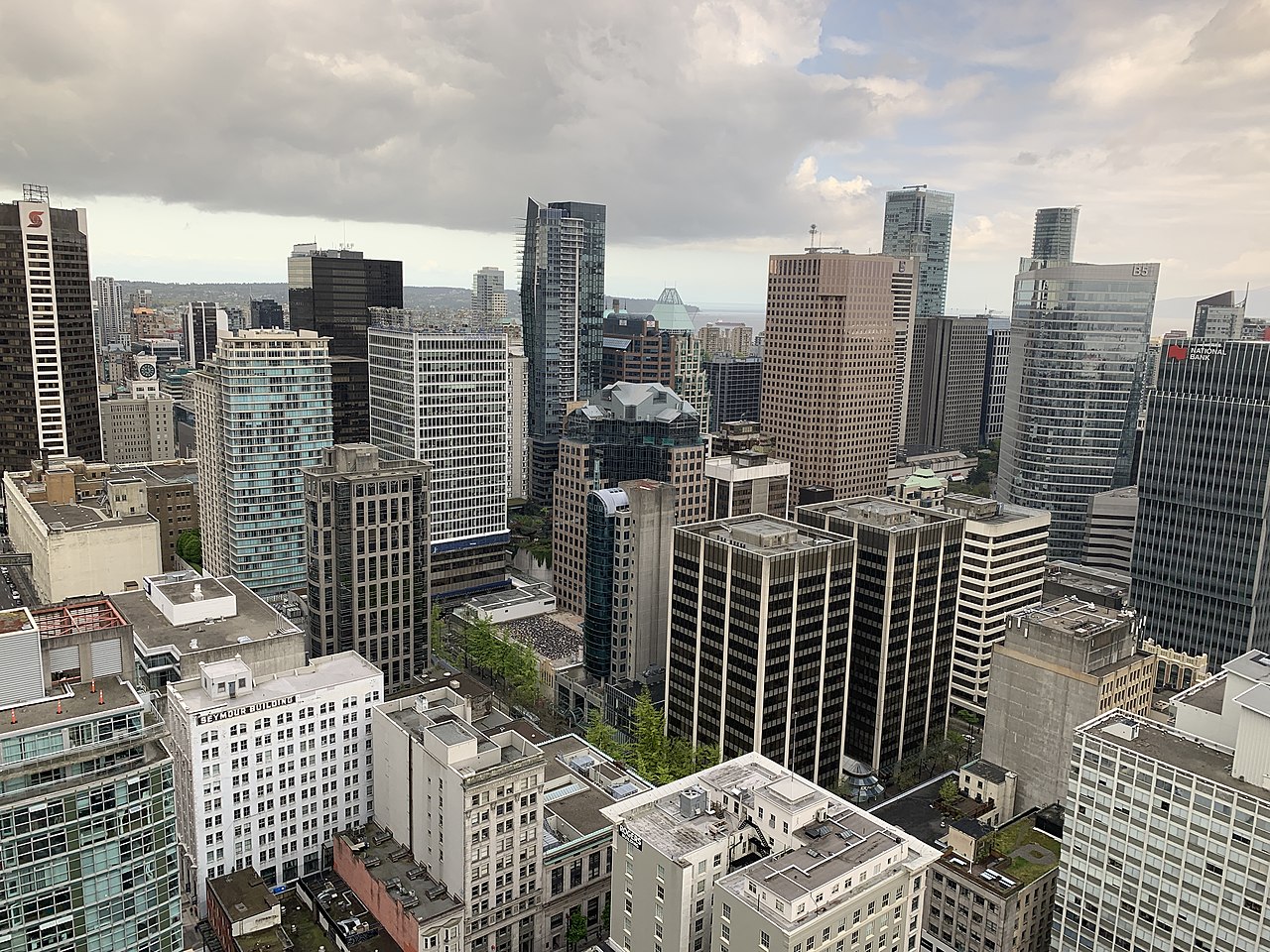
Employment in the resource sector has fallen steadily as a percentage of employment, and new jobs are mostly in the construction and retail/service sectors. It now has the highest percentage of service industry jobs in the west, comprising 72% of industry (compared to 60% Western Canadian average). The largest section of this employment is in finance, insurance, real estate and corporate management. Many areas outside of metropolitan areas, however, are still heavily reliant on resource extraction. With its film industry known as Hollywood North, the Vancouver region is the third-largest feature film production location in North America, after Los Angeles and New York City.