
The economic history of British Columbia is replete with tales of dramatic upswings and downswings, and this boom and bust pattern has influenced the politics, culture and business climate of the province. Economic activity related to mining in particular has widely fluctuated with changes in commodity prices over time, with documented costs to community health.
Transportation:
Transportation played a huge role in British Columbia’s history. The Rocky Mountains and the ranges west of them constituted a significant obstacle to overland travel until the completion of the transcontinental railway in 1885. The Peace River Canyon through the Rocky Mountains was the route the earliest explorers and fur traders used. Fur trade routes were only marginally used for access to British Columbia through the mountains. Travel from the rest of Canada before 1885 meant the difficulty of overland travel via the United States, around Cape Horn or overseas from Asia. Nearly all travel and freight to and from the region occurred via the Pacific Ocean, primarily through the ports of Victoria and New Westminster.
Until the 1930s, rail was the only means of overland travel to and from the rest of Canada; travelers using motor vehicles needed to journey through the United States. With the construction of the Inter-Provincial Highway in 1932 (now known as the Crowsnest Pass Highway), and later the Trans-Canada Highway, road transportation evolved into the preferred mode of overland travel to and from the rest of the country.
Roads and Highways:
Because of its size and rugged, varying topography, British Columbia requires thousands of kilometers of provincial highways to connect its communities. British Columbia’s roads systems were notoriously poorly maintained and dangerous until a concentrated program of improvement was initiated in the 1950s and 1960s. There are now freeways in Greater Victoria, the Lower Mainland, and Central Interior of the province. Much of the rest of the province, where traffic volumes are generally low, is accessible by well-maintained generally high-mobility two-lane arterial highways with additional passing lanes in mountainous areas and usually only a few stop-controlled intersections outside the main urban areas.
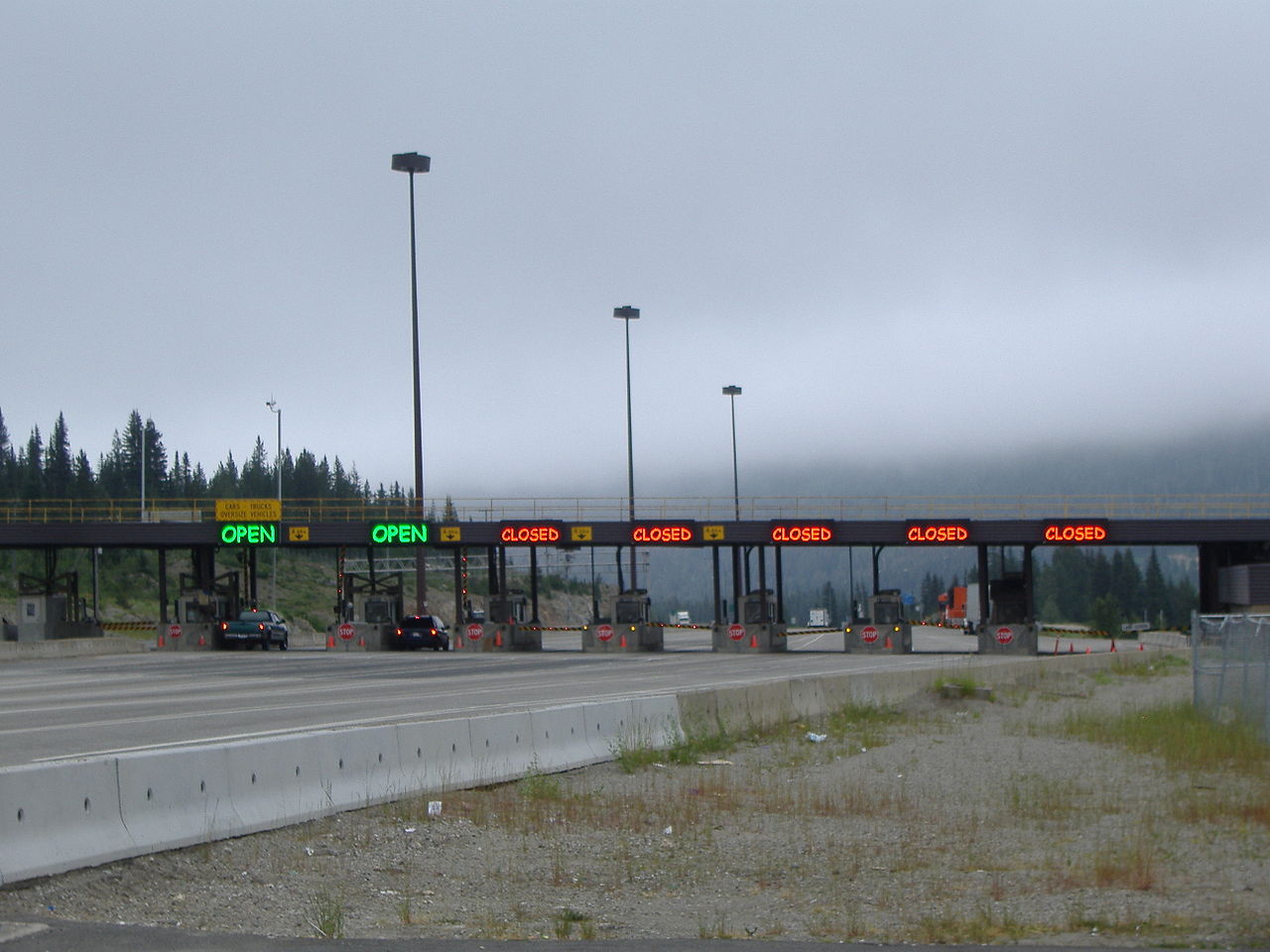
There are only five major routes to the rest of Canada. From south to north they are: BC Highway 3 through the Crowsnest Pass, the Vermilion Pass (Highway 93 in both British Columbia and Alberta), the Kicking Horse Pass, the latter being used by the Trans-Canada Highway entering Alberta through Banff National Park, the Yellowhead Highway (16) through Jasper National Park, and Highway 2 through Dawson Creek. There are also several highway crossings to the adjoining American states of Washington, Idaho, and Montana. The longest highway is Highway 97, running 2,081 km (1,293 mi) from the British Columbia-Washington border at Osoyoos north to Watson Lake, Yukon and which includes the British Columbia portion of the Alaska Highway.
Public Transit:
Prior to 1979, surface public transit was administered by BC Hydro, the provincially owned electricity utility. Subsequently, the province established BC Transit to oversee and operate all municipal transportation systems. In 1998, the Greater Vancouver Transportation Authority (TransLink) (now South Coast British Columbia Transportation Authority), a separate authority for routes within the Greater Vancouver Regional District was established. Some smaller island communities, such as Gabriola Island and, formerly, Pender Island operate routes independent of BC Transit or TransLink. BC Transit has recently expanded to provide intercity routes, particularly in the Northern region of British Columbia. Other intercity routes were introduced connecting southern communities in preparation of the cancellation of Greyhound Canada‘s pullout from Western Canada, though options for intercity bus travel are still extremely limited.