Introduction:
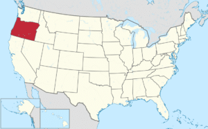
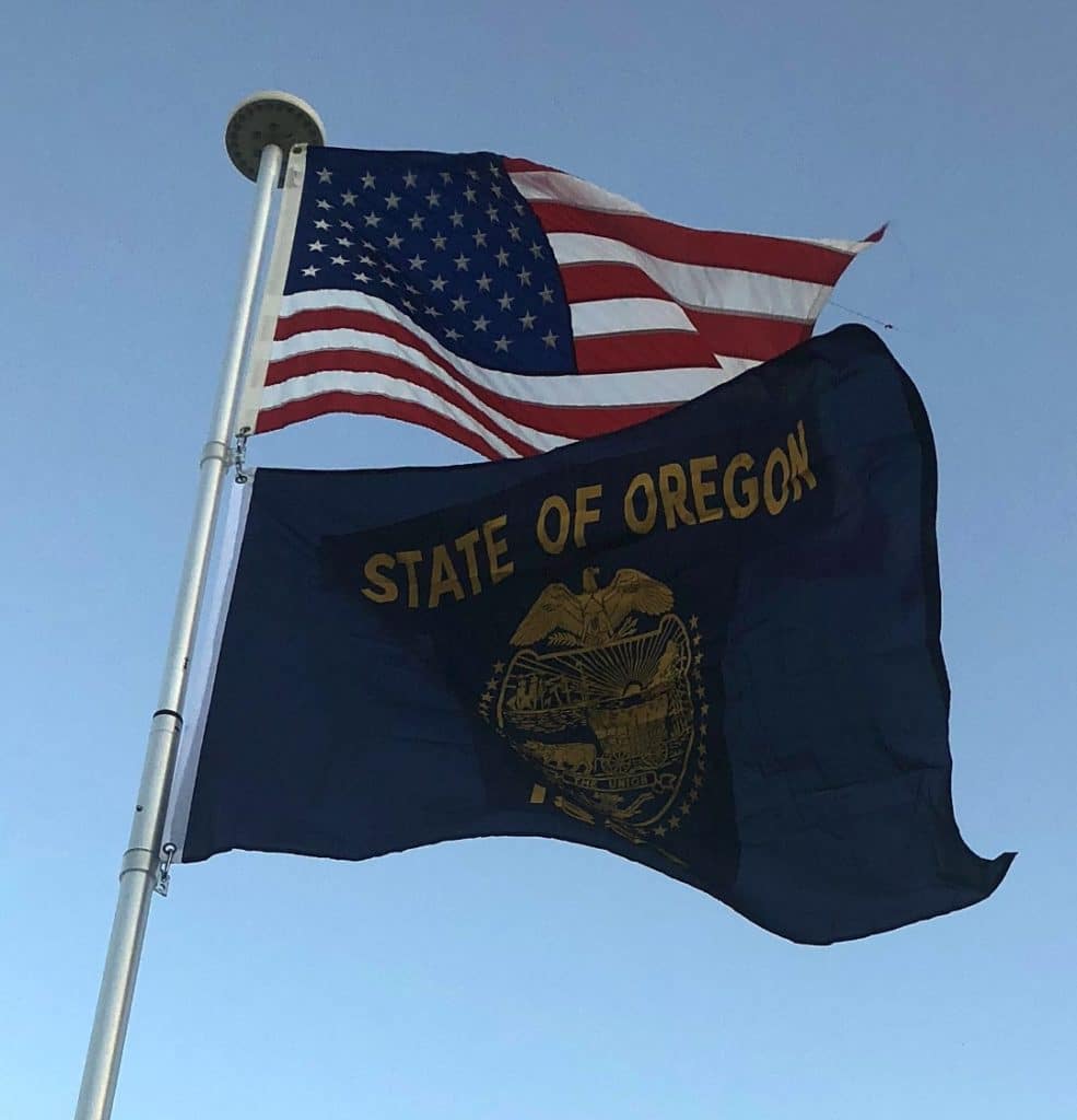
Oregon is a state in the Pacific Northwest region on the West Coast of the United States.

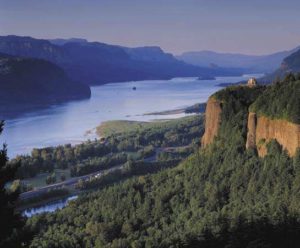
The Columbia River delineates much of Oregon’s northern boundary along Washington state, while the Snake River delineates much of its eastern boundary along Idaho. The parallel 42° north delineates the southern boundary with California and Nevada. Oregon is one of only three states of the contiguous United States to have a coastline on the Pacific Ocean.
Origins of the Name:
The earliest evidence of the name Oregon has Spanish origins. The term “orejón” comes from the historical chronicle Relación de la Alta y Baja California (1598) written by the new Spaniard Rodrigo Motezuma and made reference to the Columbia River when the Spanish explorers penetrated into the actual North American territory that became part of the Viceroyalty of New Spain. This chronicle is the first topographical and linguistic source with respect to the place name Oregon. There are also two other sources with Spanish origins, such as the name Oregano, which grows in the southern part of the region. It is most probable that the American territory was named by the Spaniards.
Another early use of the name, spelled Ouragon, was in a 1765 petition by Major Robert Rogers to the Kingdom of Great Britain. The term referred to the then-mythical River of the West, although the term itself was the name used by local native peoples to describe what is now known as the Columbia River.

Yet one more theory is that the name comes from the French word ouragan (“windstorm” or “hurricane”), which was applied to the River of the West based on Native American tales of powerful Chinook winds on the lower Columbia River, or perhaps from firsthand French experience with the Chinook winds of the Great Plains. At the time, the River of the West was thought to rise in western Minnesota and flow west through the Great Plains.
There are yet more theories that can be investigated by the truly curious soul.
Geography:
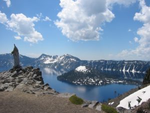
With an area of 98,381 square miles, Oregon is slightly larger than the United Kingdom. It is the ninth largest state in the United States. Oregon’s highest point is the summit of Mount Hood, at 11,249 feet and its lowest point is the sea level of the Pacific Ocean along the Oregon Coast. Crater Lake National Park is the state’s only national park and the site of Crater Lake, the deepest lake in the United States at 1,943 feet.

Oregon is also home to Mill Ends Park in Portland, the smallest park in the world at 452 square inches (0.29 m2).
Oregon is split into eight geographical regions. In Western Oregon: Oregon Coast (west of the Coast Range), the Willamette Valley, Rogue Valley, Cascade Range and Klamath Mountains; and in Central and Eastern Oregon: the Columbia Plateau, the High Desert, and the Blue Mountains.
