Jamaica’s claim has been largely dormant since entering into a number of bilateral agreements with Colombia. Between 1982 and 1986, the two states maintained a formal agreement which granted regulated fishing rights to Jamaican vessels within the territorial waters of Bajo Nuevo and nearby Serranilla Bank. Jamaica’s signing of this treaty was regarded by critics as a de facto recognition of Colombian sovereignty over the two banks. The treaty is now extinguished, however, as Colombia declined to renew it upon its expiration in August 1986.
In November 1993, Colombia and Jamaica agreed upon a maritime delimitation treaty establishing a “Joint Regime Area” to cooperatively manage and exploit living and non-living resources in designated waters between the two aforementioned banks. However, the territorial waters immediately surrounding the cays themselves were excluded from the zone of joint-control, as Colombia considers these areas to be part of her coastal waters. The exclusion circles were defined in the chart attached to the treaty as “Colombia’s territorial sea in Serranilla and Bajo Nuevo”. The agreement came into force in March 1994.
Nicaragua lays claim to all the islands on its continental shelf, including Bajo Nuevo Bank and all islands associated with the San Andrés and Providencia archipelagoes. It has persistently pursued this claim against Colombia in the International Court of Justice (ICJ), filing cases in both 2001 and 2007. The main cause of the dispute lies in the debated validity and applicability of the Esguerra-Bárcenas treaty, exchanged with Colombia in March 1928.
The United States claim was made on 22 November 1869 by James W. Jennett under the provisions of the Guano Islands Act. Most claims made by the U.S. over the guano islands in this region were officially renounced in a treaty with Colombia, dated September 1972. But whether or not Bajo Nuevo Bank was included in the agreement is disputed, as the bank is not mentioned specifically by name within the treaty, and Article 7 of the treaty states that matters not specifically mentioned in the treaty are not subject to its terms. The U.S. administers the bank as an unorganized, unincorporated United States territory.
Honduras, prior to its ratification of a maritime boundary treaty with Colombia on 20 December 1999, had previously also laid claim to Bajo Nuevo and nearby Serranilla Bank. Both states agreed upon a maritime demarcation in 1986 that excluded Honduras from any control over the banks or their surrounding waters. This bilateral treaty ensured that Honduras implicitly recognizes Colombia’s sovereignty over the disputed territories. Honduras’ legal right to hand over these areas was disputed by Nicaragua before the ICJ.
Serranilla Bank
Introduction:
Serranilla Bank is a partially submerged reef, with small uninhabited islets, in the western Caribbean Sea. It is situated about 220 miles northeast of Punta Gorda, Nicaragua, and roughly 170 miles southwest of Jamaica. The closest neighboring land feature is Bajo Nuevo Bank, located 68 miles to the east.

Serranilla Bank was first shown on Spanish maps in 1510. It is administered by Colombia as part of the department of San Andrés and Providencia. Although the bank is an integral part of Colombia, it is subject to a sovereignty dispute involving Honduras and the United States. On November 19, 2012, in regards to Nicaraguan claims to the islands, the International Court of Justice (ICJ) found, unanimously, that the Republic of Colombia has sovereignty over Serranilla.
Geography:
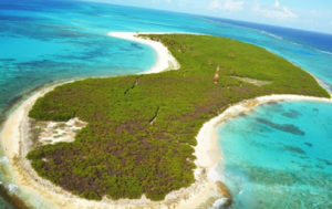
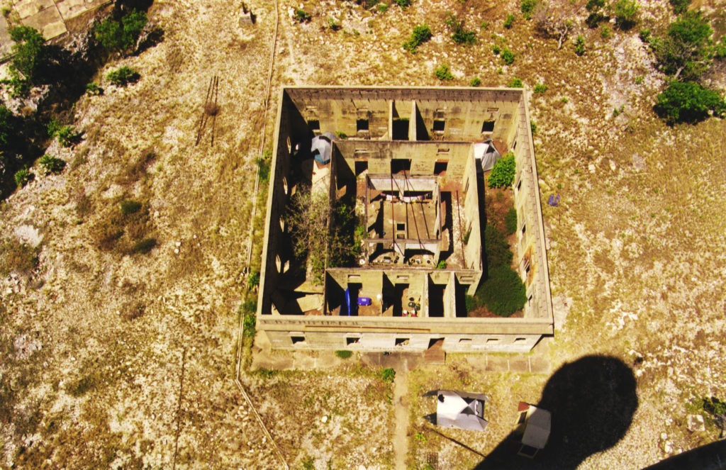
Serranilla Bank is a former atoll, now a mostly submerged carbonate platform consisting of shallow reef environments. It is about 25 miles in length and 20 miles in width, covering an area of over 463 square miles, almost entirely under water. Three small cays and two rocks emerge above the water to form the bank’s islands. These are West Breaker, Middle Cay, East Cay, Beacon Cay and Northeast Breaker. They are largely barren, with sparse vegetation of bushes and some trees. Most of the reef is drying and many shipwrecks are located in its vicinity.
