
The Carolinian forest zone covers most of the southwestern region of the province. The temperate and fertile Great Lakes-Saint Lawrence Valley in the south is part of the Eastern Great Lakes lowland forests eco-region where the forest has now been largely replaced by agriculture, industrial and urban development. A well-known geographic feature is Niagara Falls, part of the Niagara Escarpment. The Saint Lawrence Seaway allows navigation to and from the Atlantic Ocean as far inland as Thunder Bay in Northwestern Ontario. Northern Ontario covers approximately 87% of the province’s surface area; conversely Southern Ontario contains 94 percent of the population.
Point Pelee is a peninsula of Lake Erie in southwestern Ontario (near Windsor and Detroit, Michigan) that is the southernmost extent of Canada’s mainland. Pelee Island and Middle Island in Lake Erie extend slightly farther. All are south of 42°N – slightly farther south than the northern border of California.
History:
Pre-European Contact:
Prior to the arrival of the Europeans, the region was inhabited by Algonquian (Ojibwe, Cree and Algonquin) in the northern/western portions, and Iroquois and Wyandot (Huron) people more in the south/east. During the 17th century, the Algonquians and Hurons fought the Beaver Wars against the Iroquois.
European Contact:
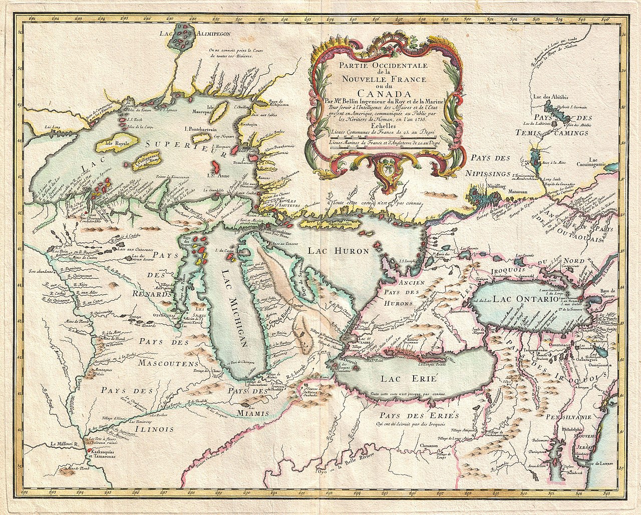
The French explorer Étienne Brûlé explored part of the area in 1610–12. The English explorer Henry Hudson sailed into Hudson Bay in 1611 and claimed the area for England.
Samuel de Champlain reached Lake Huron in 1615, and French missionaries began to establish posts along the Great Lakes. French settlement was hampered by their hostilities with the Iroquois, who allied themselves with the British. From 1634 to 1640, Hurons were devastated by European infectious diseases, such as measles and smallpox, to which they had no immunity. By 1700, the Iroquois had seceded from Ontario and the Mississaugas of the Ojibwa had settled the north shore of Lake Ontario. The remaining Huron settled north of Quebec.
The British established trading posts on Hudson Bay in the late 17th century and began a struggle for domination of Ontario with the French. After the French of New France were defeated during the Seven Years’ War, the two powers awarded nearly all of France’s North American possessions (New France) to Britain in the 1763 Treaty of Paris, including those lands of Ontario not already claimed by Britain. The British annexed the Ontario region to Quebec in 1774.
The first European settlements were in 1782–1784 when 5,000 American loyalists entered what is now Ontario following the American Revolution. The Kingdom of Great Britain granted them 200 acres land and other items with which to rebuild their lives. The British also set up reservations in Ontario for the Mohawks who had fought for the British and had lost their land in New York state. Other Iroquois, also displaced from New York were resettled in 1784 at the Six Nations reserve at the west end of Lake Ontario. The Mississaugas, displaced by European settlements, would later move to Six Nations also.