
Central Labrador:
Central Labrador extends from the shores of Lake Melville into the interior. It contains the Churchill River, the largest river in Labrador and one of the largest in Canada. The hydroelectric dam at Churchill Falls is the second-largest underground power station in the world. Most of the supply is bought by Hydro-Québec under a long-term contract. The Lower Churchill Project will develop the remaining potential of the river and supply it to provincial consumers. Known as “the heart of the Big Land”, the area’s population comprises people from all groups and regions of Labrador.
Central Labrador is also home to Happy Valley – Goose Bay. Once a refuelling point for plane convoys to Europe during World War II, CFB Goose Bay is now operated as a NATO tactical flight training site. It was an alternate landing zone for the United States’ Space Shuttle. Other major communities in the area are North West River and the large reserve known as Sheshatshiu.
Western Labrador:
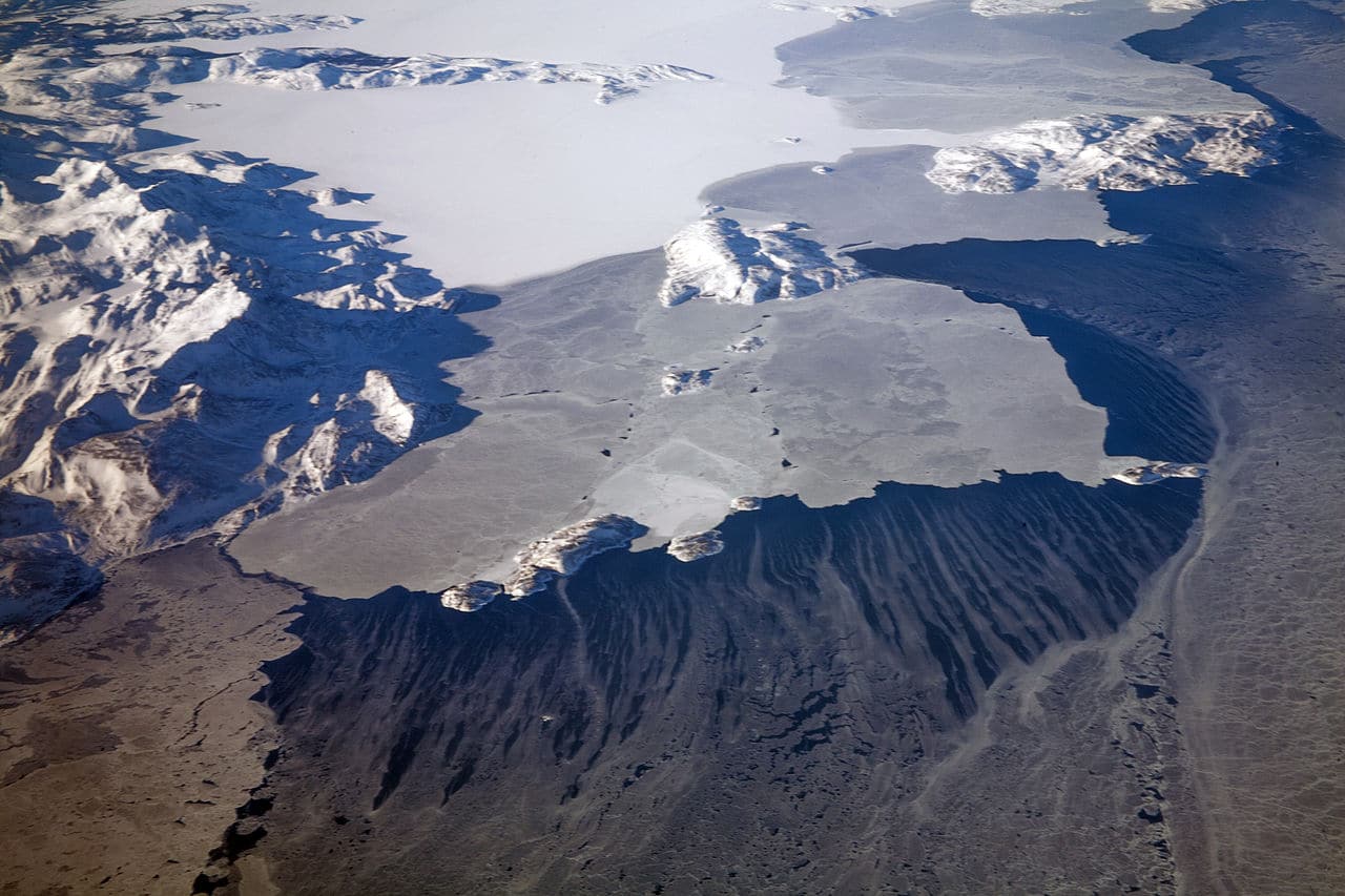
The highlands above the Churchill Falls were once an ancient hunting ground for the Innu First Nations and settled trappers of Labrador. After the construction of the hydroelectric dam at Churchill Falls in 1970, the Smallwood Reservoir has flooded much of the old hunting land—submerging several grave sites and trapping cabins in the process.
Western Labrador is also home to the Iron Ore Company of Canada, which operates a large iron ore mine in Labrador City. Together with the small community of Wabush, the two towns are known as “Labrador West”.
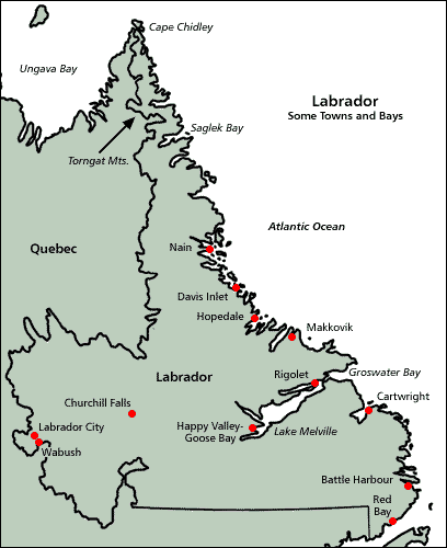
South Coast:
From Hamilton Inlet to Cape St. Charles/St. Lewis, NunatuKavut is the territory of the NunatuKavummiut or Central-Southern Labrador Inuit (formerly known as the Labrador Métis). It includes portions of Central and Western Labrador, but more NunatuKavummiut reside in its South Coast portion: it is peppered with tiny Inuit fishing communities, of which Cartwright is the largest.
The Labrador Straits:
From Cape Charles to the Quebec/Labrador coastal border, the Straits is known for its Labrador sea grass (as is NunatuKavut) and the multitude of icebergs that pass by the coast via the Labrador Current.
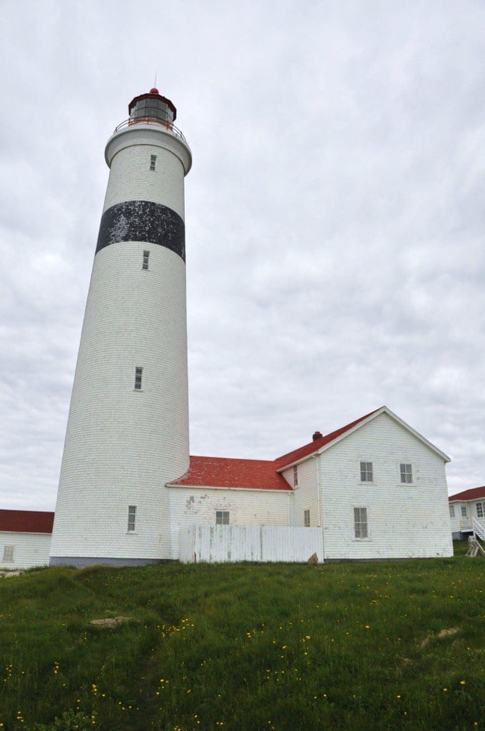
Red Bay is known as one of the best examples of a preserved 16th-century Basque whaling station. It is also the location of four 16th-century Spanish galleons. The lighthouse at Point Amour is the second-largest lighthouse in Canada. MV Kamutik, a passenger ferry between the mainland and St. Barbe on the island of Newfoundland, is based in Blanc Sablon, Quebec, near the Labrador border. L’Anse-au-Clair is a small town on the Labrador side of the border.
Economy:
The economy of Labrador is limited to resource extraction in form of ores and in the production of electricity through massive hydro-power installations. Very limited infrastructure limits further economic growth.
Transportation:
Roads are limited although they do exist across the territory as of recently.
Ferries were once a primary means of transportation between Newfoundland and Labrador although with the addition of highways some of the lines have been discontinued. Ferries remain vital, however, to the overall transportation network in Labrador.